Old Maps of Elevation, Texas for Academic Research
Study the evolution of Elevation with 9 high-resolution historic maps. Whether you're teaching, researching, or modeling changes in land use, these maps provide essential visual documentation of urban, environmental, and geographic change.
- Analyze long-term change: Track patterns in development, transportation, and natural features.
- Ideal for environmental or urban studies: Support academic projects with primary historical map data.
- Use in the classroom or lab: Educators and researchers rely on these maps to bring historical context to life.
These maps are a powerful tool for teaching, research, and visualizing how Elevation has changed over the decades.
Elevation, TX maps
(9)- 1954 Map of Austin, 1964 Print
 1954 Austin1964 Print · USGSCentral Texas is captured during a period of steady growth as the capital city and its neighboring farm towns began to modernize. Researchers can trace historic rail corridors like the Southern Pacific RR or locate landmarks such as Bergstrom Air Force Base and Pilot Knob.4 unique versions available
 - 1956 Map of Milano
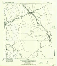 1956 Milano1956 Print · USGSRailroad junctions and rural post offices define this Milam County landscape during the early twentieth century. Genealogists and historians can locate family-named landmarks like Septimus) Olson or trace the early paths of the San Antonio and Aransas Pass Railway.
 - 1962 Map of Milano, 1964 Print
 1962 Milano1964 Print · USGSRailroad history and rural community life converge in early 1960s Texas at the busy junction of the Missouri Pacific and Santa Fe lines. Local researchers can trace family roots through landmarks like Sand Grove Ch, Hurt Cem, and the settlement at Elevation.2 unique versions available
 - 1993 Map of Bryan
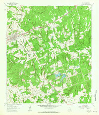
 1993 Bryan1993 Print · USGSBrazos Valley life in the early nineties centered on the rapid growth of College Station and the agricultural heartbeat of the river bottomlands. Genealogists and historians can trace the paths of the Kings Highway, several rail lines, and local landmarks like City Cem and Texas A&M University.
 - 2010 Map of Milano, 2010 Print
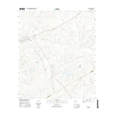
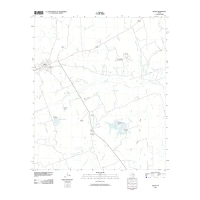 2010 Milano2010 Print · USGSCovers Elevation, including Milano, Milam County, and other nearby areas
 - 2013 Map of Milano, 2013 Print
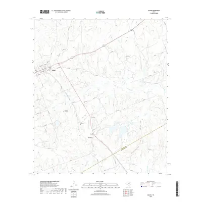
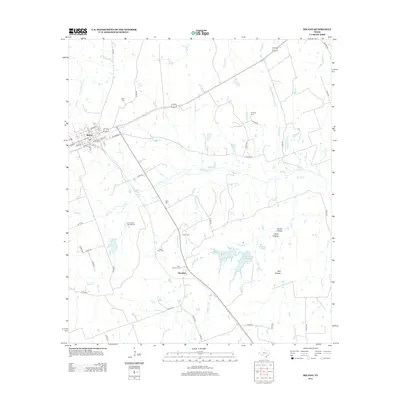 2013 Milano2013 Print · USGSCovers Elevation, including Milano, Milam County, and other nearby areas
 - 2016 Map of Milano, 2016 Print
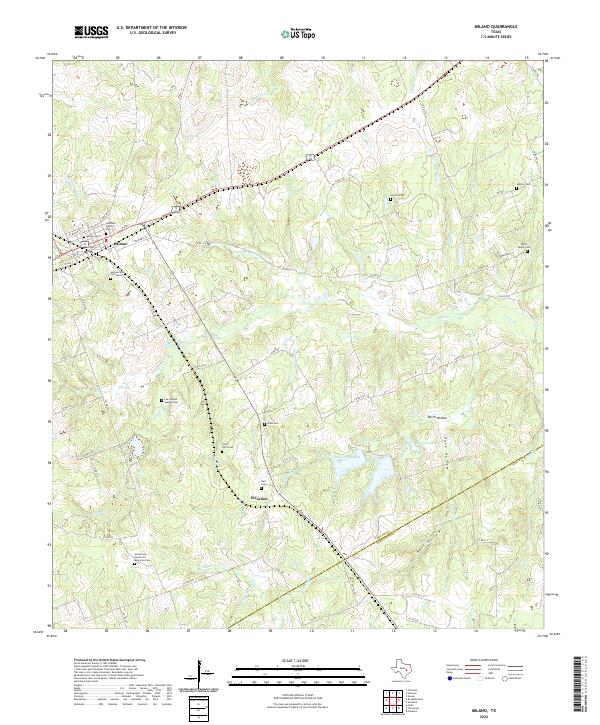
 2016 Milano2016 Print · USGSCovers Elevation, including Milano, Milam County, and other nearby areas
 - 2019 Map of Milano, 2019 Print
 2019 Milano2019 Print · USGSCovers Elevation, including Milano, Milam County, and other nearby areas
 - 2022 Map of Milano, 2022 Print
 2022 Milano2022 Print · USGSMilano and the rural borderlands of Milam and Burleson counties are captured here in the early twenty-first century. Genealogists can locate numerous local burial sites including Smyrna Cem, Santana Ruiz Cemeterio, and the Foster Family Cem.
End of results
Showing maps 1-9 of 9
Top cities near Elevation
- Rockdale historical maps
- Cameron historical maps
- Hearne historical maps
- Caldwell historical maps
- Milano historical maps
Frequently asked questions
- What are the different types of historical maps available for Elevation?
- What is the oldest map of Elevation?
- Where can I purchase historical maps of Elevation for my home or office?
- Where can I download high-res historical maps of Elevation?
- Are there historical topographic maps available for Elevation?
- Is there historical aerial imagery available for Elevation?
- Where are historical maps of Elevation sourced from?