2020s Maps of Mitchell County, Texas
Explore 25 historic maps of Mitchell County from the 2020s. These maps offer a rare glimpse into what life looked like during the 2020s — showing old roads, neighborhoods, homes, and landmarks that have changed or disappeared over time.
Whether you're researching your family's past, planning a metal detecting trip, or studying how Mitchell County's landscape evolved across the 2020s, these high-resolution maps are a powerful tool for exploring the history of this region.
- Focus on a specific era: All maps on this page are from the 2020s, giving you a focused view of this time period.
- See what’s changed: Compare century-old streets, trails, and buildings to today's modern landscape using overlays and satellite layers.
- Research with precision: Use these maps for genealogy, historical research, land use analysis, or educational projects.
- View, download, or print: Maps are fully viewable online in high resolution, and can be downloaded or printed for your own records.
Start exploring Mitchell County's history through authentic maps from the 2020s. This is your window into the past.
Mitchell County, TX maps
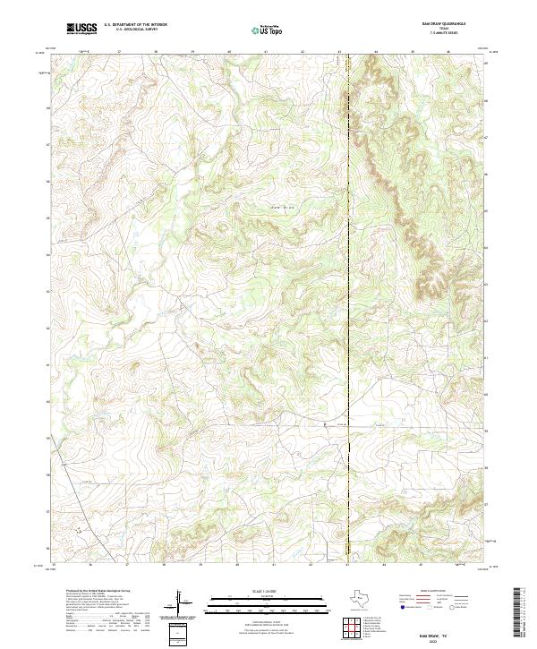
(25)- 2022 Map of Buffalo Draw, 2022 Print
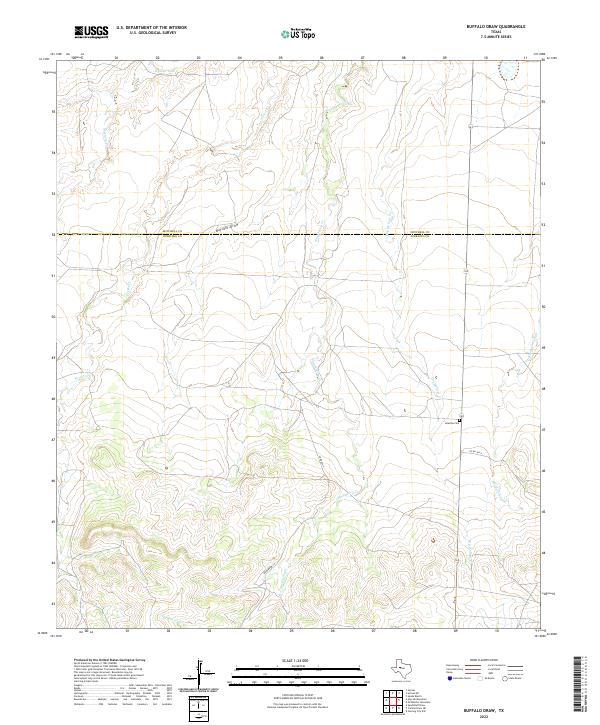 2022 Buffalo Draw2022 Print · USGSTexas ranching country along the Mitchell and Sterling county line is captured here in the early twenty-first century. Genealogists and local historians can locate Iolanthe Cem and trace the many seasonal drainages like Buffalo Draw and Dry Hollow Cr.
 - 2022 Map of Hayrick Mountain, 2022 Print
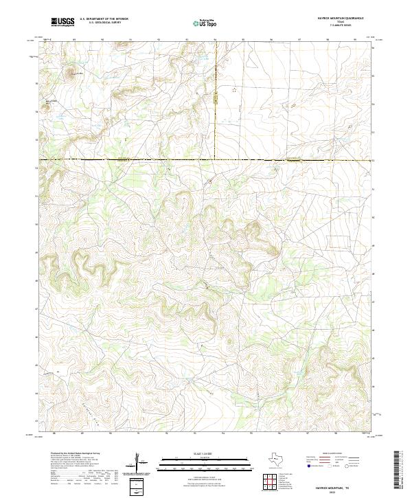 2022 Hayrick Mountain2022 Print · USGSSterling County rangeland comes into focus in this contemporary survey where the boundaries of three Texas counties meet. Researchers can trace the ranching landscape through landmarks like Hayrick Mtn, Rockwater Hole, and Gardener Draw.
 - 2022 Map of Ira SW, 2022 Print
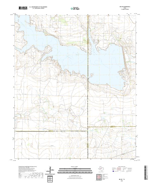 2022 Ira SW2022 Print · USGSThe upper Colorado River basin comes into focus in the 2020s where Borden, Scurry, Howard, and Mitchell counties meet. Trace ranching routes and water access points near Lake J B Thomas, Sourdough Rd, and the remote Dunn Lake.
 - 2022 Map of Hyman NE, 2022 Print
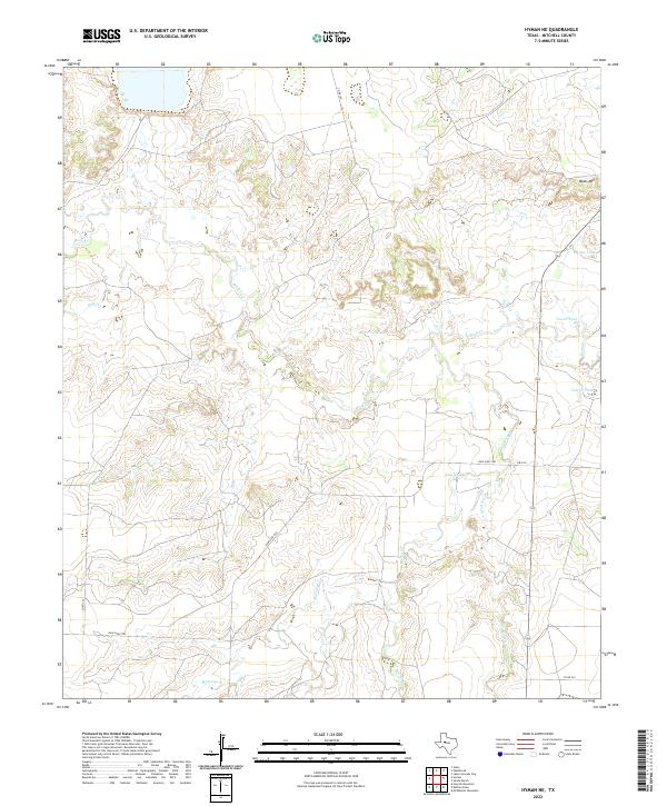 2022 Hyman NE2022 Print · USGSMitchell County ranch land is captured in the early twenty-first century, showing a landscape shaped by seasonal water and rural transit. Trace local land use through features like Beals Mtn, Tom Neff Lake, and the drainage of Beals Cr.
 - 2022 Map of Cuthbert, 2022 Print
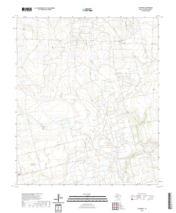 2022 Cuthbert2022 Print · USGSMitchell County ranch lands are documented here in the early twenty-first century, showing a network of rural roads and water tanks. Genealogists can locate Cuthbert Cem and New Hope Cem or trace the drainages of Graze Cr and Morgan Cr.
 - 2022 Map of Ira, 2022 Print
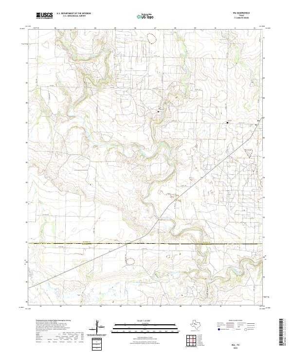 2022 Ira2022 Print · USGSIn the high plains of Scurry County during the early 2020s, the landscape is defined by the winding Colorado River and the rural community of Ira. Genealogists and local historians can locate the Ira Cem and Bluff Creek Cem among the drainages of Bull Creek and Cedar Canyon.
 - 2022 Map of Hyman, 2022 Print
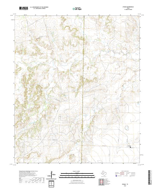 2022 Hyman2022 Print · USGSHoward County ranching and water management are the focus of this West Texas survey from the early 2020s. Researchers can trace the layout of the Hyman settlement and its namesake Hyman Cemetery, or locate water features like Rankin Lake and Magnolia Tank.
 - 2022 Map of Westbrook, 2022 Print
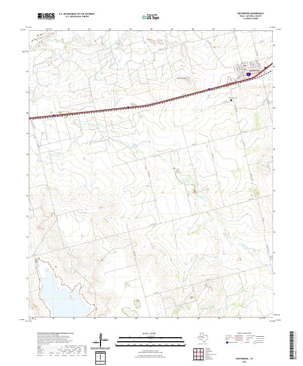 2022 Westbrook2022 Print · USGSWestbrook and its surrounding Mitchell County ranch lands are detailed here during the early 2020s. Researchers can trace family history at the Westbrook Cem or locate specific homesteads near Morgan Peak and along the banks of Wildhorse Cr.
 - 2022 Map of Iatan, 2022 Print
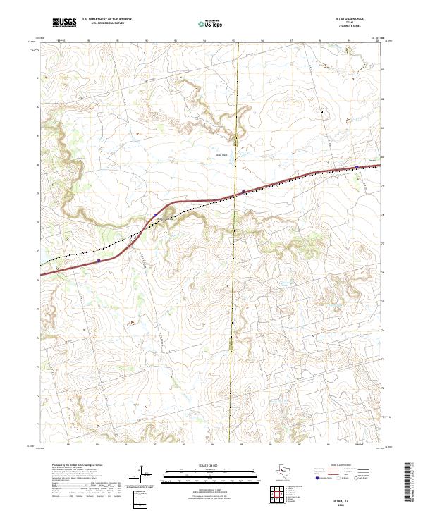 2022 Iatan2022 Print · USGSThe West Texas plains at the Howard and Mitchell county line come into focus in this contemporary survey. Researchers can trace land use through features like Iatan Cem, the topography of Rattlesnake Gap, and livestock tanks like California Tank.
 - 2022 Map of Spade Ranch, 2022 Print
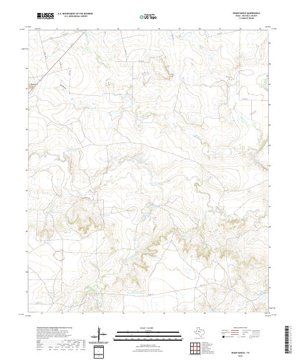 2022 Spade Ranch2022 Print · USGSMitchell County ranching lands are captured here in the early twenty-first century, showing a landscape defined by cattle tanks and seasonal creeks. Trace the drainage of Wildhorse Cr or locate specific landmarks like Beals Mtn and Renderbrook Spring.
 - 2022 Map of Vincent, 2022 Print
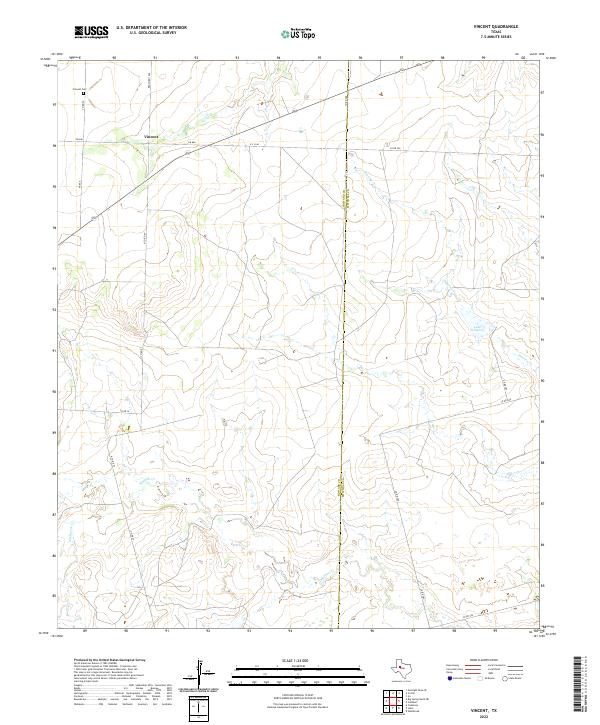 2022 Vincent2022 Print · USGSVincent and the Howard-Mitchell county line are captured in this recent survey of the West Texas plains. Genealogists can trace family connections at Vincent Cem or follow the paths of Hasting Cr and Morgan Cr across the landscape.
 - 2022 Map of Lake Colorado City, 2022 Print
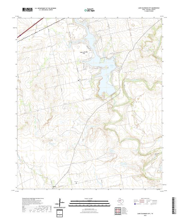 2022 Lake Colorado City2022 Print · USGSMitchell County ranchlands and the waters of the Colorado River are captured in this contemporary survey of the West Texas plains. Researchers can locate the Spade settlement, trace the Colorado River to Horseshoe Bend, and find local burial sites at Dorn Cem and Spade Cem.
 - 2022 Map of China Grove, 2022 Print
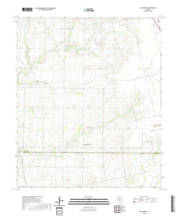 2022 China Grove2022 Print · USGSThe ranchlands of the Texas South Plains come into focus during the early twenty-first century as they span the Scurry and Mitchell county line. Genealogists and local historians can trace the rural road network surrounding China Grove and the winding course of Little Sulphur Cr.
 - 2022 Map of Dead Indian Mountain, 2022 Print
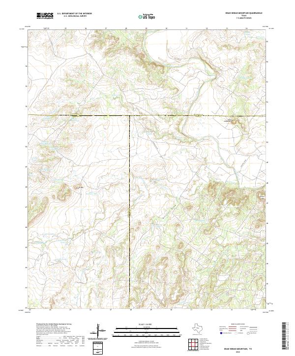 2022 Dead Indian Mountain2022 Print · USGSWest Texas ranchlands and high mesas are captured here at the tri-county junction of Coke, Sterling, and Mitchell. Researchers can trace the topography of the Colorado River basin and locate family-named water features like Harvey Martin Tank and Old McWhorter Tank.
 - 2022 Map of Dunn, 2022 Print
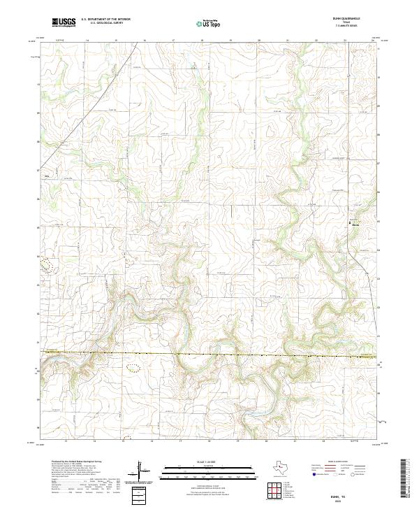 2022 Dunn2022 Print · USGSScurry County's rural plains and the winding Colorado River corridor are captured here as they appeared in the early twenty-first century. Genealogists and local historians can trace family-named routes and landmarks like the Dunn Cemetery near the settlement of Dunn.
 - 2022 Map of Colorado City SE, 2022 Print
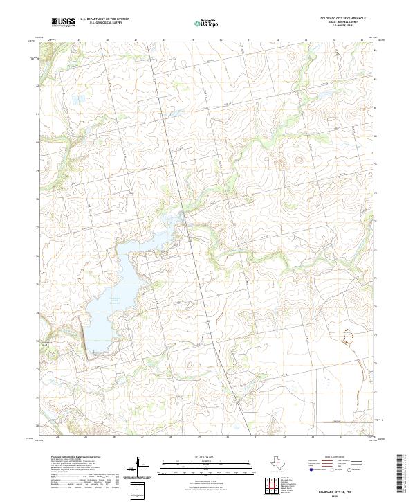 2022 Colorado City SE2022 Print · USGSMitchell County in the early 2020s remains a landscape shaped by its waterways and rural corridors. Genealogists and local historians can trace the paths of the Colorado River and Champion Creek Reservoir, or locate specific sites along CHAMPION and S FM 644.
 - 2022 Map of Inadale, 2022 Print
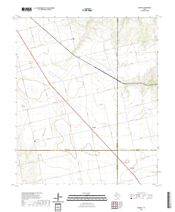 2022 Inadale2022 Print · USGSThe West Texas ranchlands at the four-county corner of Scurry, Mitchell, Fisher, and Nolan counties are captured here in recent years. Researchers can locate family landmarks like Pyron Cemetery and Lone Wolf Cemetery near the crossroads of Inadale and Wastella.
 - 2022 Map of Dam Draw, 2022 Print
 2022 Dam Draw2022 Print · USGSThe ranchlands of West Texas are captured here at the Mitchell and Nolan county line during the early twenty-first century. Researchers can trace the drainage of Dam Draw and locate livestock landmarks like Buck Cr Tank and Six Tank along CO RD 345.
 - 2022 Map of McWhorter Mountain, 2022 Print
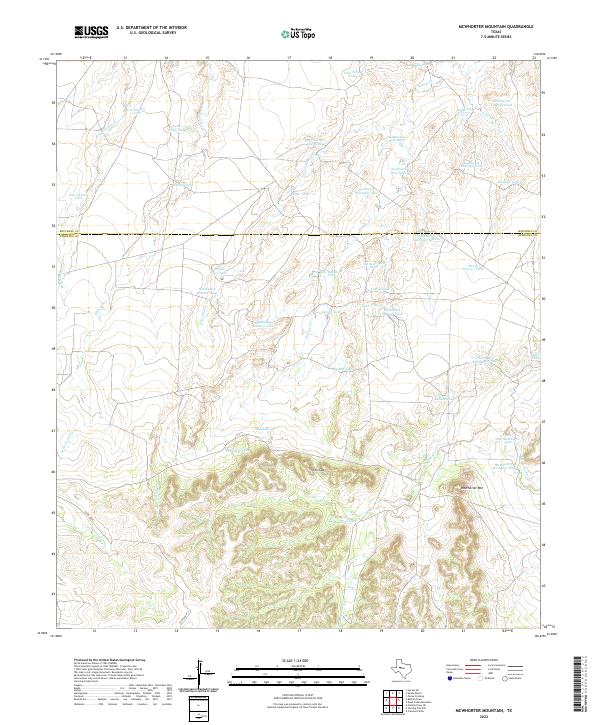 2022 McWhorter Mountain2022 Print · USGSThe West Texas ranching landscape along the Sterling and Mitchell County line is defined here by modern stock management and rugged topography. Researchers can trace land use patterns through named features like McWhorter Mountain, Old Boatright Tank, and Renderbrook Cr.
 - 2022 Map of Silver, 2022 Print
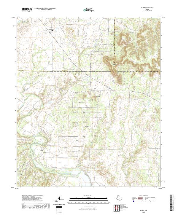 2022 Silver2022 Print · USGSThe tri-county border area of Coke, Mitchell, and Nolan counties is captured here in the early 2020s, showing a landscape of traditional ranching and modern energy production. Researchers can pinpoint McKenzie Cem, trace the course of the Colorado River, and locate landmarks like Silver Peak.
 - 2022 Map of Pecan Crossing, 2022 Print
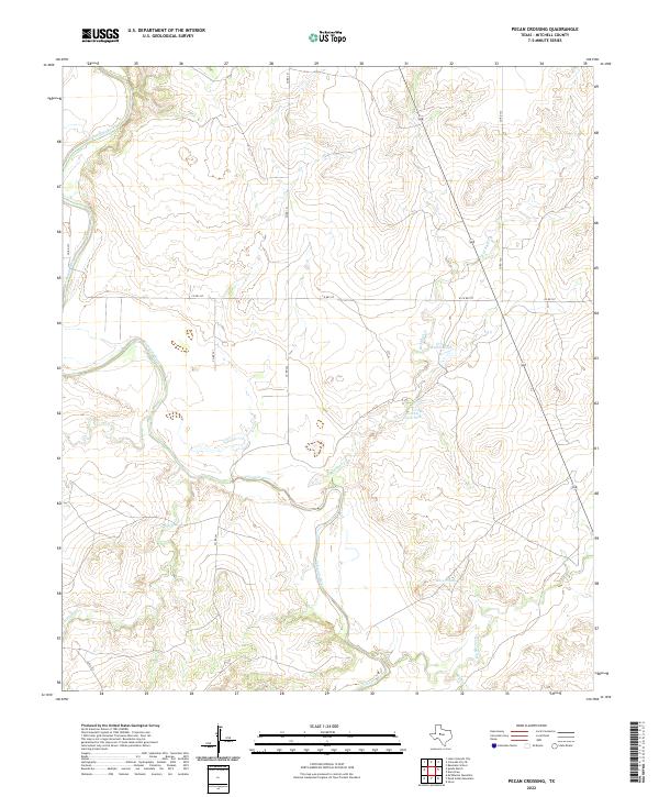 2022 Pecan Crossing2022 Print · USGSMitchell County ranching lands and river bottomlands are captured here in the early 2020s. Trace the winding Colorado River and local landmarks like Forrest Lowe Tank, Crane Hollow Tank, and Beals Cr across this rural Texas landscape.
 - 2022 Map of Cedar Bend, 2022 Print
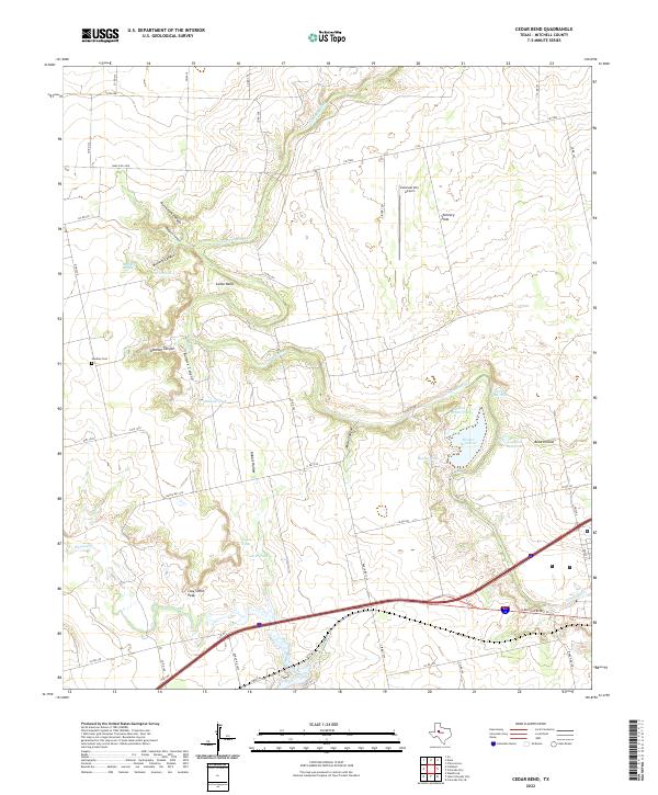 2022 Cedar Bend2022 Print · USGSMitchell County ranchlands and river breaks come into focus in the early 2020s, showing a landscape defined by the Colorado River and its rugged canyons. Researchers can trace family-named landmarks like Handley Cem, McGuire Spring, and Clay Smith Peak.
 - 2022 Map of Colorado City, 2022 Print
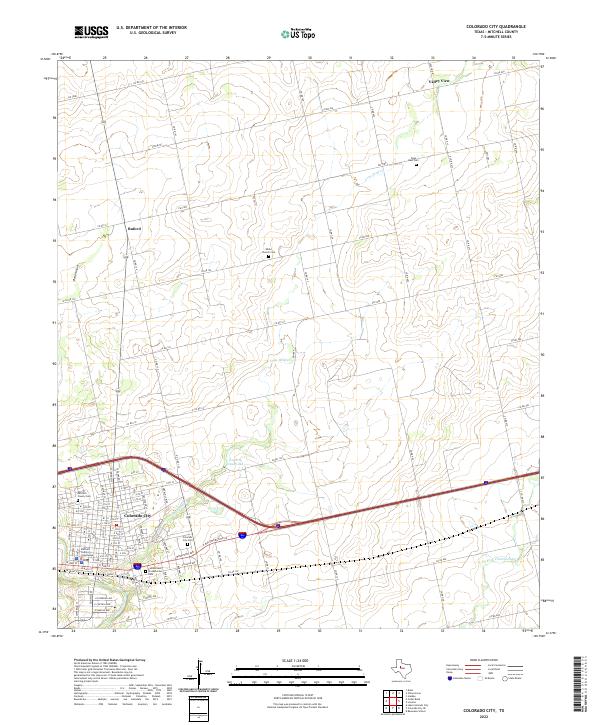 2022 Colorado City2022 Print · USGSColorado City and its rural Mitchell County surroundings are captured in this modern survey of the West Texas landscape. Researchers can trace family history through sites like White Church Cem and Zions Rest Cem or locate the Mitchell County Courthouse.
 - 2022 Map of Baumann School, 2022 Print
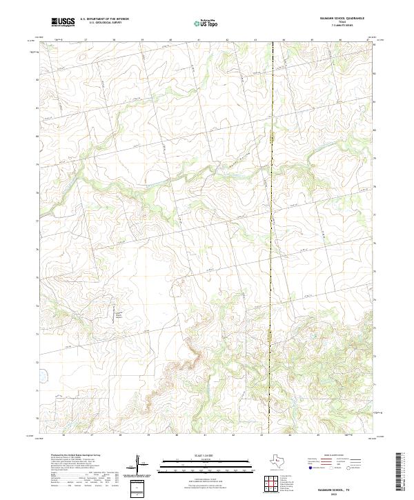 2022 Baumann School2022 Print · USGSThe West Texas ranch lands along the Mitchell and Nolan county line are shown here in the contemporary era. Researchers can trace the drainage of S Fork Champion Cr, locate the Landers Ranch Airport, and explore the terrain of Hanks Hollow.
 - 2022 Map of Loraine, 2022 Print
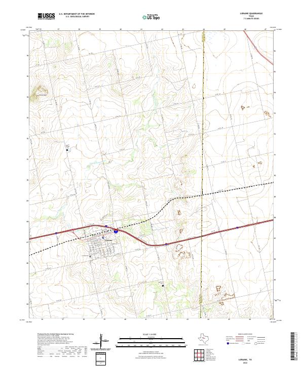 2022 Loraine2022 Print · USGSLoraine and the surrounding Mitchell County ranchlands are captured here in the early twenty-first century. Genealogists and local historians can trace the town's grid and locate regional burial sites like Union Chapel Cem, Loraine Cem, and Wallace Cem.
End of results
Showing maps 1-25 of 25
Top cities of Mitchell County
Frequently asked questions
- What are the different types of historical maps available for Mitchell County?
- What is the oldest map of Mitchell County?
- Where can I purchase historical maps of Mitchell County for my home or office?
- Where can I download high-res historical maps of Mitchell County?
- Are there historical topographic maps available for Mitchell County?
- Is there historical aerial imagery available for Mitchell County?
- Where are historical maps of Mitchell County sourced from?