2020s Maps of Monahans, Texas
Explore 7 historic maps of Monahans from the 2020s. These maps offer a rare glimpse into what life looked like during the 2020s — showing old roads, neighborhoods, homes, and landmarks that have changed or disappeared over time.
Whether you're researching your family's past, planning a metal detecting trip, or studying how Monahans's landscape evolved across the 2020s, these high-resolution maps are a powerful tool for exploring the history of this region.
- Focus on a specific era: All maps on this page are from the 2020s, giving you a focused view of this time period.
- See what’s changed: Compare century-old streets, trails, and buildings to today's modern landscape using overlays and satellite layers.
- Research with precision: Use these maps for genealogy, historical research, land use analysis, or educational projects.
- View, download, or print: Maps are fully viewable online in high resolution, and can be downloaded or printed for your own records.
Start exploring Monahans's history through authentic maps from the 2020s. This is your window into the past.
Monahans, TX maps
(7)- 2022 Map of Monahans SE, 2022 Print
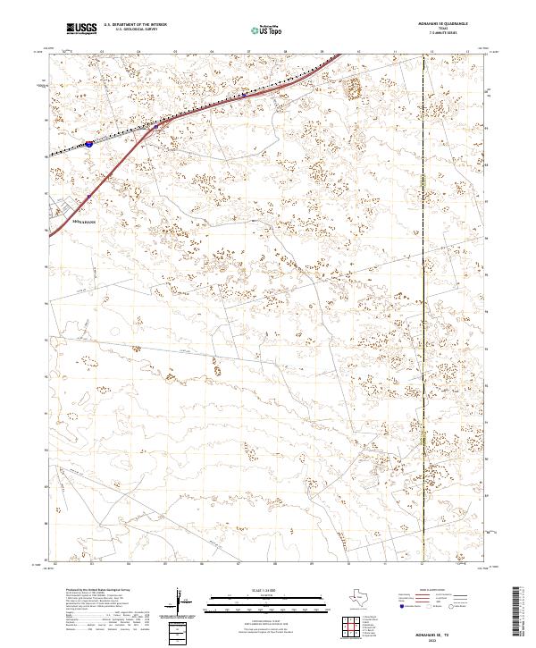 2022 Monahans SE2022 Print · USGSMonahans and the surrounding West Texas plains are captured in this recent survey during a period of active energy development. Researchers can trace the intersection of industry and infrastructure along Park Rd 41 and Ranch Rd 1233 near Altura Energy Ltd.
 - 2022 Map of Monahans, 2022 Print
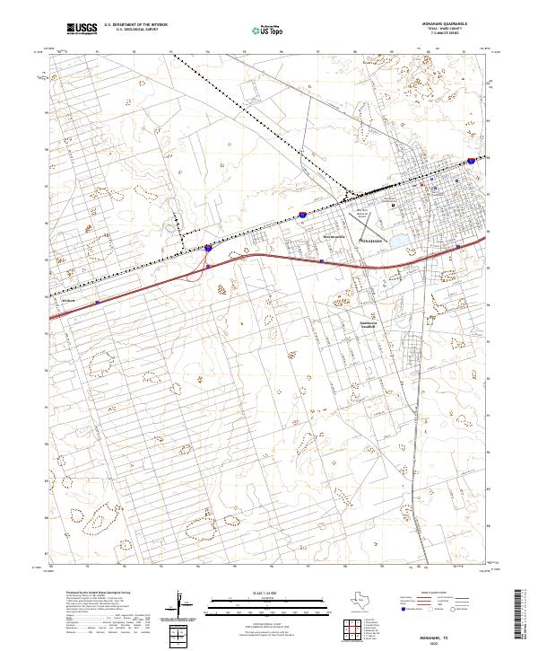 2022 Monahans2022 Print · USGSMonahans and the surrounding Ward County oil fields are shown in detail during the early 2020s. Researchers can trace the layout of Wickett and Thorntonville or locate specific local landmarks like the Ward County Courthouse and Monahans Memorial Cem.
 - 2022 Map of China Ranch, 2022 Print
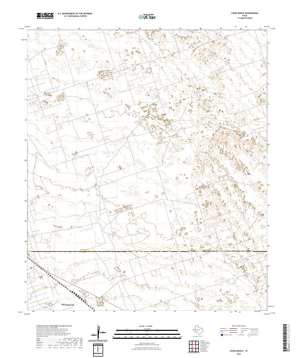 2022 China Ranch2022 Print · USGSThe West Texas plains at the Winkler and Ward County border are captured here in the early twenty-first century. Researchers can trace the northern edge of Monahans and locate isolated water sources like Buzzard Roost Springs amidst a sparse network of county roads.
 - 2022 Map of Pyote East, 2022 Print
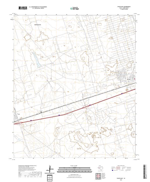 2022 Pyote East2022 Print · USGSWard County's high plains landscape is captured in the early 2020s, showing the established communities of Pyote and Wickett. Genealogists and local historians can trace family roots through the Pyote Cem or explore the street grids of Wickett along Monument Draw.
 - 2022 Map of Pyote NE, 2022 Print
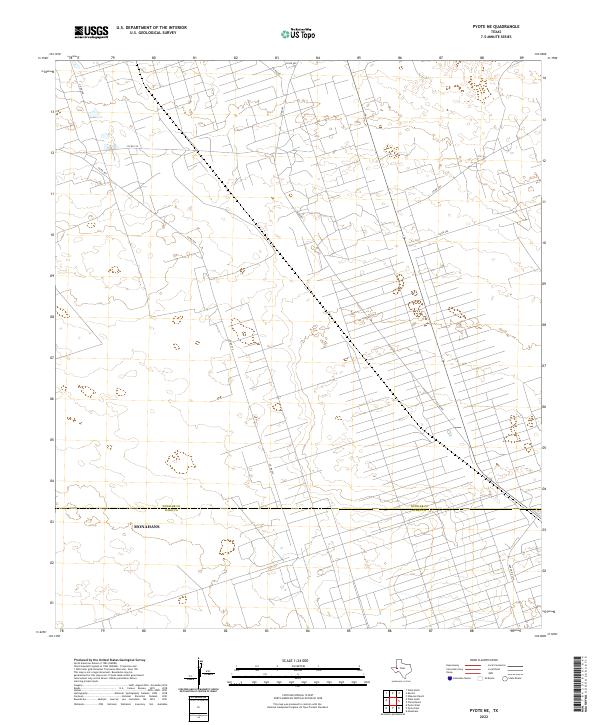 2022 Pyote NE2022 Print · USGSWinkler and Ward Counties are shown at the height of modern energy development in this 2022 survey. Trace the intricate network of industrial access roads like Co Rd 401 and Co Rd 209 as they extend north from Monahans.
 - 2022 Map of Wink South, 2022 Print
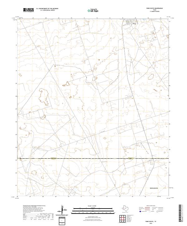 2022 Wink South2022 Print · USGSThe northern reaches of the Permian Basin are captured in this 2022 survey, showing the transition from the town of Wink to the open flats of Winkler Co. Trace the residential grid along S Monahans Dr and follow the route of Little Joe Rd across the wide expanse toward Monument Draw.
 - 2022 Map of Pyote West, 2022 Print
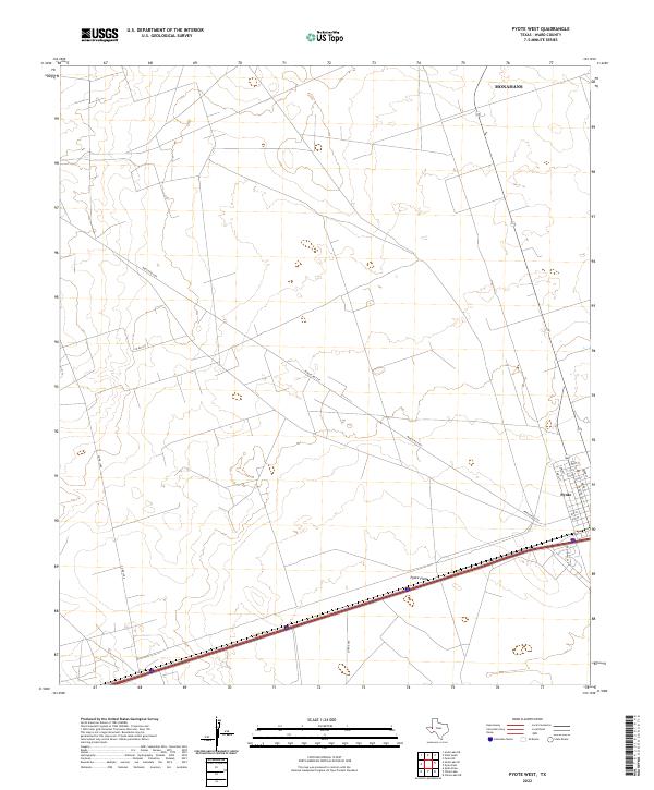 2022 Pyote West2022 Print · USGSWard County's arid plains and the established grid of Pyote are documented here in the early twenty-first century. Local historians can trace the town's layout along Ward St or follow rural routes like Ranch Rd 2355 across the Pyote Flats.
End of results
Showing maps 1-7 of 7
Top cities near Monahans
- Kermit historical maps
- Wink historical maps
- Thorntonville historical maps
- Wickett historical maps
- Pyote historical maps
Top neighborhoods of Monahans
- Airport historical maps
- Ballard historical maps
- Quail View historical maps
- Bellaire historical maps
- Ranchero Heights No. 1 historical maps
- Buddy historical maps
See more
Frequently asked questions
- What are the different types of historical maps available for Monahans?
- What is the oldest map of Monahans?
- Where can I purchase historical maps of Monahans for my home or office?
- Where can I download high-res historical maps of Monahans?
- Are there historical topographic maps available for Monahans?
- Is there historical aerial imagery available for Monahans?
- Where are historical maps of Monahans sourced from?