Old Maps of Iva Hayes, Monahans for Genealogy
Trace your family roots with 9 historic maps of Iva Hayes. These high-res maps reveal old neighborhoods, homesites, landmarks, and streets — helping you uncover where your ancestors lived and how the area evolved over time.
- Explore historic neighborhoods: Identify where your relatives may have lived in the 1800s or 1900s.
- Compare maps over time: Trace the changes in streets, buildings, and landmarks for multi-generational research.
- Perfect for genealogy & ancestry research: Used by family historians and researchers to map out lineage and migration.
These maps are an incredible resource for exploring your personal connection to Iva Hayes's past.
Iva Hayes, Monahans maps
(9)- 1954 Map of Pecos, 1964 Print
 1954 Pecos1964 Print · USGSMid-century West Texas reveals a landscape of expanding oil fields and cattle ranching along the winding Pecos River. Local historians can trace family ranch lands like Goodrich Ranch, follow the Texas and Pacific rails, or locate the historic Horsehead Crossing.3 unique versions available
 - 1957 Map of Pecos
 1957 Pecos1957 Print · USGSWest Texas in the mid-fifties is a landscape of desert oil fields and vital rail corridors. Researchers can trace the sprawling Pyote Air Force Base, the historic Horsehead Crossing, and the rail stops at Mentone and Saragosa.
 - 1969 Map of Monahans, 1971 Print
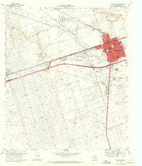 1969 Monahans1971 Print · USGSMonahans and Ward County are shown in the late sixties as the regional oil and ranching economy flourished along the Texas and Pacific line. Researchers can trace local landmarks like Hurd Memorial Airfield, Municipal Cem, and the Wagonwheel Ranch.2 unique versions available
 - 1986 Map of Odessa
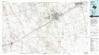 1986 Odessa1986 Print · USGSThe Permian Basin’s oil-driven landscape is revealed in the mid-eighties, showing the sprawl of Odessa and Midland. Trace the growth of energy infrastructure at the South Cowden Oil Field or explore the unique Sand Dunes of Monahans Sand Hills State Park.2 unique versions available
 - 2010 Map of Monahans, 2010 Print
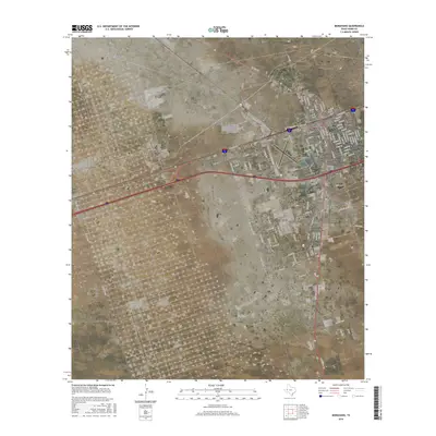
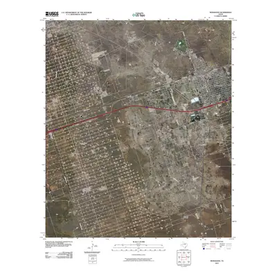 2010 Monahans2010 Print · USGSCovers Iva Hayes, including Monahans, Thorntonville, and other nearby areas
 - 2012 Map of Monahans, 2012 Print
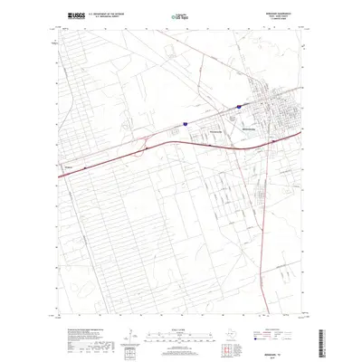
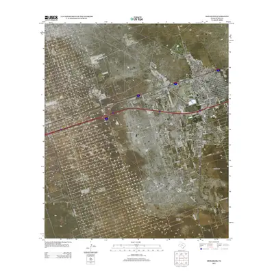 2012 Monahans2012 Print · USGSCovers Iva Hayes, including Monahans, Thorntonville, and other nearby areas
 - 2016 Map of Monahans, 2016 Print
 2016 Monahans2016 Print · USGSCovers Iva Hayes, including Monahans, Thorntonville, and other nearby areas
 - 2019 Map of Monahans, 2019 Print
 2019 Monahans2019 Print · USGSCovers Iva Hayes, including Monahans, Thorntonville, and other nearby areas
 - 2022 Map of Monahans, 2022 Print
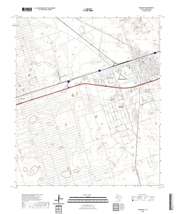 2022 Monahans2022 Print · USGSMonahans and the surrounding Ward County oil fields are shown in detail during the early 2020s. Researchers can trace the layout of Wickett and Thorntonville or locate specific local landmarks like the Ward County Courthouse and Monahans Memorial Cem.
End of results
Showing maps 1-9 of 9
Frequently asked questions
- What are the different types of historical maps available for Iva Hayes?
- What is the oldest map of Iva Hayes?
- Where can I purchase historical maps of Iva Hayes for my home or office?
- Where can I download high-res historical maps of Iva Hayes?
- Are there historical topographic maps available for Iva Hayes?
- Is there historical aerial imagery available for Iva Hayes?
- Where are historical maps of Iva Hayes sourced from?