Old Maps of Mallard, Texas for Genealogy
Trace your family roots with 11 historic maps of Mallard. These high-res maps reveal old neighborhoods, homesites, landmarks, and streets — helping you uncover where your ancestors lived and how the area evolved over time.
- Explore historic neighborhoods: Identify where your relatives may have lived in the 1800s or 1900s.
- Compare maps over time: Trace the changes in streets, buildings, and landmarks for multi-generational research.
- Perfect for genealogy & ancestry research: Used by family historians and researchers to map out lineage and migration.
These maps are an incredible resource for exploring your personal connection to Mallard's past.
Mallard, TX maps
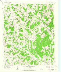
(11)- 1905 Map of Montague
 1905 Montague1905 Print · USGSMontague County and the bordering Chickasaw Nation are captured here in the early twentieth century as the frontier transitioned into a settled rail corridor. Genealogists and local researchers can locate numerous rural schools like Eagle Pt. School and trace river crossings such as Owings Ferry.3 unique versions available
 - 1954 Map of Sherman, 1964 Print
 1954 Sherman1964 Print · USGSThe Red River valley and North Texas plains are captured here in the mid-fifties, showing the region as new reservoirs like Lake Texoma and Lavon Reservoir reshaped the land. Genealogists can trace family roots through specific local landmarks like Courtney P O, Pilot Grove Sch, and New Hope Ch.2 unique versions available
 - 1958 Map of Sherman, 1959 Print
 1958 Sherman1959 Print · USGSNorth Texas and Southern Oklahoma were undergoing significant development in the late fifties as the Red River Valley transit networks matured. Researchers can trace historic family-named locations such as Saddler Bend, the grounds of Perrin AFB, and early shoreline developments at Lake Texoma.
 - 1961 Map of Salona, 1963 Print
 1961 Salona1963 Print · USGSMontague County settlements and petroleum fields are well-established in this early 1960s survey. Genealogists can trace family footprints at Mitchell Cem or Denver Sch, while historians can map the early boundaries of Mueller Oil Field and Salona.2 unique versions available
 - 1985 Map of Gainesville
 1985 Gainesville1985 Print · USGSThe Red River valley in the mid-1980s reveals a landscape defined by the petroleum industry and a complex rail network. Researchers can trace the legacy of regional energy at the Bowers Field or locate community roots near Spanish Fort and Lakeview Cemetery.
 - 1991 Map of Gainesville
 1991 Gainesville1991 Print · USGSThe Red River borderlands of Texas and Oklahoma are captured here in the early nineties, showing a region defined by cattle history and oil production. Researchers can trace the layout of historic settlements like Spanish Fort and Belcherville or locate family landmarks near Queens Peak and Moss Lake.
 - 2010 Map of Salona, 2010 Print
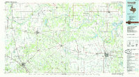
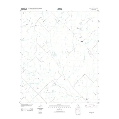
 2010 Salona2010 Print · USGSCovers Mallard, including Salona, Dry Valley, and other nearby areas
 - 2013 Map of Salona, 2013 Print
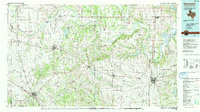
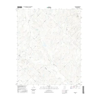
 2013 Salona2013 Print · USGSCovers Mallard, including Salona, Dry Valley, and other nearby areas
 - 2016 Map of Salona, 2016 Print
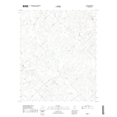
 2016 Salona2016 Print · USGSCovers Mallard, including Salona, Dry Valley, and other nearby areas
 - 2019 Map of Salona, 2019 Print
 2019 Salona2019 Print · USGSCovers Mallard, including Salona, Dry Valley, and other nearby areas
 - 2022 Map of Salona, 2022 Print
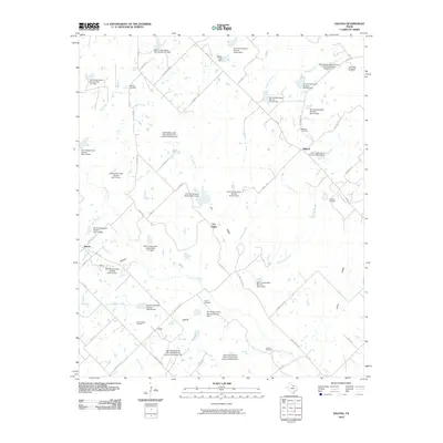
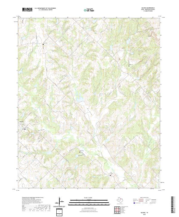 2022 Salona2022 Print · USGSMontague County's rural landscape is captured here in the early twenty-first century, showing the enduring settlement patterns of the Texas Cross Timbers. Local historians can trace family plots at Salona Cem and Mitchell Cem or locate landmarks like Jim Ned Lookout.
End of results
Showing maps 1-11 of 11
Top cities near Mallard
Frequently asked questions
- What are the different types of historical maps available for Mallard?
- What is the oldest map of Mallard?
- Where can I purchase historical maps of Mallard for my home or office?
- Where can I download high-res historical maps of Mallard?
- Are there historical topographic maps available for Mallard?
- Is there historical aerial imagery available for Mallard?
- Where are historical maps of Mallard sourced from?