Old Maps of Plantation Estates, Texas for Academic Research
Study the evolution of Plantation Estates with 13 high-resolution historic maps. Whether you're teaching, researching, or modeling changes in land use, these maps provide essential visual documentation of urban, environmental, and geographic change.
- Analyze long-term change: Track patterns in development, transportation, and natural features.
- Ideal for environmental or urban studies: Support academic projects with primary historical map data.
- Use in the classroom or lab: Educators and researchers rely on these maps to bring historical context to life.
These maps are a powerful tool for teaching, research, and visualizing how Plantation Estates has changed over the decades.
Plantation Estates, TX maps
(13)- 1919 Map of Weeden
 1919 Weeden1919 Print · USGSSoutheast Texas at the end of the Great War was a landscape of creek-fed bottomlands and emerging rail hubs. Trace the early layout of Humble and locate family landmarks like the Tullus Cemetery or the route of the Bender Tramroad.2 unique versions available
 - 1954 Map of Beaumont, 1964 Print
 1954 Beaumont1964 Print · USGSSoutheast Texas in the mid-fifties reveals a landscape of massive national forests, emerging reservoirs, and a booming oil economy. Genealogists and researchers can trace rural settlements like Dallardsville and Village Mills or locate early drilling sites at Sour Lake Oil Field.3 unique versions available
 - 1957 Map of Beaumont
 1957 Beaumont1957 Print · USGSSoutheast Texas in the mid-fifties is defined by the timber-rich lands between the Trinity River and Beaumont. Trace the history of the Alabama and Coushatti Indian Reservation or locate early campus sites like Prairie View College.
 - 1961 Map of Maedan, 1962 Print
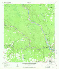 1961 Maedan1962 Print · USGSThe Montgomery and Harris County borderlands come alive in this early 1960s survey, showing the confluence of river bottomlands and emerging rail-side communities. Trace the roots of Bordersville and Maedan or locate family markers at Enloe Cem and Tetter Cem.2 unique versions available
 - 1982 Map of Maedan
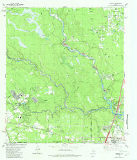 1982 Maedan1982 Print · USGSSoutheast Texas in the early eighties shows a shifting landscape where sprawling river bottomlands meet growing residential communities. Genealogists and local historians can locate several family burial grounds like Enloe Cem, early schools including Teague Sch, and the rail-side community of Bordersville.
 - 1984 Map of Beaumont
 1984 Beaumont1984 Print · USGSSoutheast Texas in the late seventies and early eighties shows a landscape of expanding reservoirs and deep timber industry. Researchers can trace the development of the Sam Houston National Forest or locate regional landmarks like Grabbs Prairie and the Wynne State Prison Farm.3 unique versions available
 - 1985 Map of Conroe
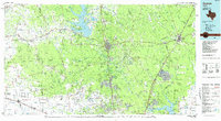 1985 Conroe1985 Print · USGSSoutheast Texas in the mid-eighties shows a landscape of timberlands and new lakeside developments. Researchers can trace the legacy of rail lines like the Southern Pacific RR or locate rural communities such as Plantersville, Yarboro, and Hufsmith.2 unique versions available
 - 1995 Map of Maedan, 1999 Print
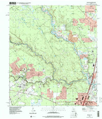 1995 Maedan1999 Print · USGSSuburban expansion meets the river bottoms of the San Jacinto in the mid-nineties as new residential developments rise near the confluence of major creeks. Researchers can trace family sites at Enloe Cem or locate the community roots of Bordersville and Maedan.
 - 2010 Map of Maedan, 2010 Print
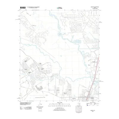 2010 Maedan2010 Print · USGSGreater Houston’s northern suburbs are shown here in a decade of rapid expansion, where aviation and nature converge. Genealogists and local historians can trace the growth of Humble and Kingwood, or find specific residential sites in Bordersville and Post Wood.
 - 2013 Map of Maedan, 2013 Print
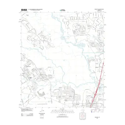 2013 Maedan2013 Print · USGSHouston's northern suburbs were expanding rapidly during the early 2010s near the airport and major river forks. Genealogists and local historians can trace the specific street layouts of Kingwood, Bordersville, and Sandpiper Village as they stood before more recent growth.
 - 2016 Map of Maedan, 2016 Print
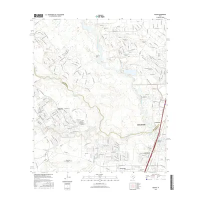 2016 Maedan2016 Print · USGSIn the Houston metropolitan area during the mid-2010s, suburban expansion meets the winding waterways of the San Jacinto basin. Researchers can trace the modern layout of Spring and Humble alongside major landmarks like George Bush Intercontinental Airport.
 - 2019 Map of Maedan, 2019 Print
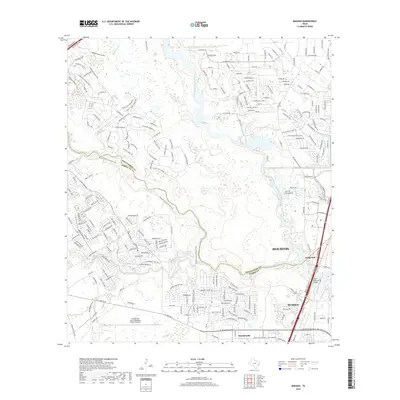 2019 Maedan2019 Print · USGSGreater Houston in the late 2010s shows a complex mix of aviation infrastructure and suburban growth along the San Jacinto River. Trace the expansion of Humble and Kingwood near the massive George Bush Intercontinental Airport/Houston.
 - 2022 Map of Maedan, 2022 Print
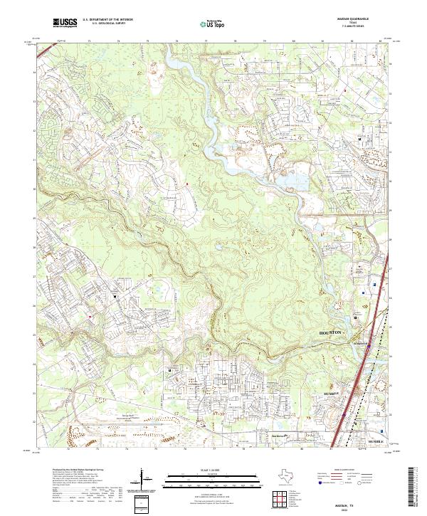 2022 Maedan2022 Print · USGSGreater Houston and Humble appear in the early 2020s, showing the intersection of the San Jacinto River basin with massive suburban growth. Genealogists can locate several local burial sites like Stewart-Prater Cem or the Humble Pipeyard Cem amid modern developments.
End of results
Showing maps 1-13 of 13
Frequently asked questions
- What are the different types of historical maps available for Plantation Estates?
- What is the oldest map of Plantation Estates?
- Where can I purchase historical maps of Plantation Estates for my home or office?
- Where can I download high-res historical maps of Plantation Estates?
- Are there historical topographic maps available for Plantation Estates?
- Is there historical aerial imagery available for Plantation Estates?
- Where are historical maps of Plantation Estates sourced from?