Old Maps of Roman Forest, Texas for Academic Research
Study the evolution of Roman Forest with 16 high-resolution historic maps. Whether you're teaching, researching, or modeling changes in land use, these maps provide essential visual documentation of urban, environmental, and geographic change.
- Analyze long-term change: Track patterns in development, transportation, and natural features.
- Ideal for environmental or urban studies: Support academic projects with primary historical map data.
- Use in the classroom or lab: Educators and researchers rely on these maps to bring historical context to life.
These maps are a powerful tool for teaching, research, and visualizing how Roman Forest has changed over the decades.
Roman Forest, TX maps
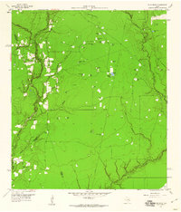
(16)- 1954 Map of Beaumont, 1964 Print
 1954 Beaumont1964 Print · USGSSoutheast Texas in the mid-fifties reveals a landscape of massive national forests, emerging reservoirs, and a booming oil economy. Genealogists and researchers can trace rural settlements like Dallardsville and Village Mills or locate early drilling sites at Sour Lake Oil Field.3 unique versions available
 - 1957 Map of Beaumont
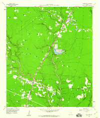
 1957 Beaumont1957 Print · USGSSoutheast Texas in the mid-fifties is defined by the timber-rich lands between the Trinity River and Beaumont. Trace the history of the Alabama and Coushatti Indian Reservation or locate early campus sites like Prairie View College.
 - 1959 Map of Plum Grove, 1960 Print
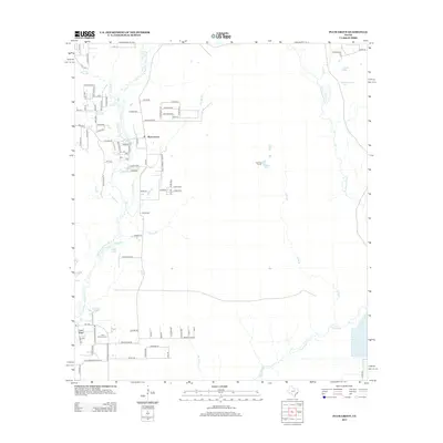
 1959 Plum Grove1960 Print · USGSThe Texas coastal plains near the Liberty and Montgomery county lines come into focus in the late fifties. Researchers can trace family-named landmarks and water sources like Thompson Grass Pond, Sallas Lake, and the high point at Casey Ridge.3 unique versions available
 - 1959 Map of Splendora, 1960 Print
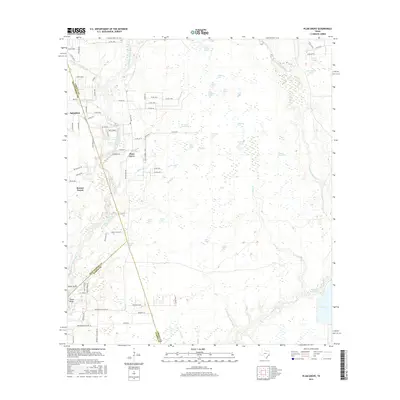
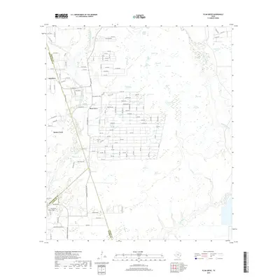
 1959 Splendora1960 Print · USGSEast Texas oil production and railroad transit define the Splendora area in the late fifties. Genealogists and researchers can trace family landmarks and community hubs like Robinson Cem, Carver Sch, and the vanished tracks of the Old Grade Railroad.4 unique versions available
 - 1984 Map of Beaumont
 1984 Beaumont1984 Print · USGSSoutheast Texas in the late seventies and early eighties shows a landscape of expanding reservoirs and deep timber industry. Researchers can trace the development of the Sam Houston National Forest or locate regional landmarks like Grabbs Prairie and the Wynne State Prison Farm.3 unique versions available
 - 1985 Map of Conroe
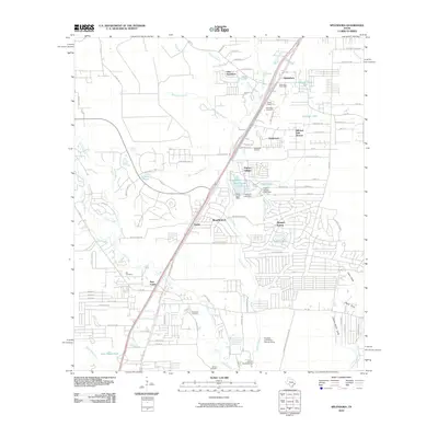
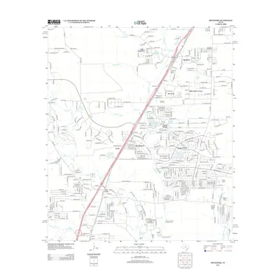
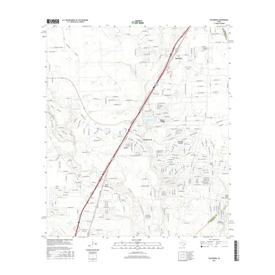
 1985 Conroe1985 Print · USGSSoutheast Texas in the mid-eighties shows a landscape of timberlands and new lakeside developments. Researchers can trace the legacy of rail lines like the Southern Pacific RR or locate rural communities such as Plantersville, Yarboro, and Hufsmith.2 unique versions available
 - 2010 Map of Plum Grove, 2010 Print
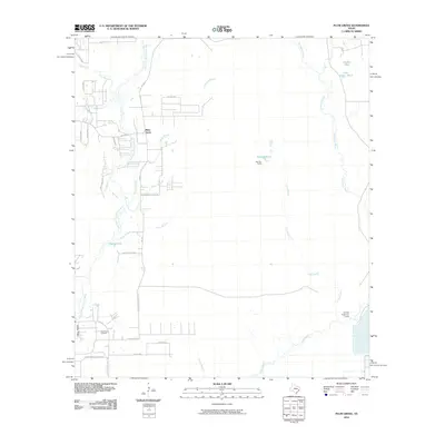 2010 Plum Grove2010 Print · USGSCovers Roman Forest, including Plum Grove, Colony Ridge, and other nearby areas
 - 2010 Map of Splendora, 2010 Print
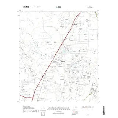
 2010 Splendora2010 Print · USGSCovers Roman Forest, including Splendora, Patton Village, and other nearby areas
 - 2013 Map of Plum Grove, 2013 Print
 2013 Plum Grove2013 Print · USGSCovers Roman Forest, including Plum Grove, Colony Ridge, and other nearby areas
 - 2013 Map of Splendora, 2013 Print
 2013 Splendora2013 Print · USGSCovers Roman Forest, including Splendora, Patton Village, and other nearby areas
 - 2016 Map of Plum Grove, 2016 Print
 2016 Plum Grove2016 Print · USGSCovers Roman Forest, including Plum Grove, Colony Ridge, and other nearby areas
 - 2016 Map of Splendora, 2016 Print
 2016 Splendora2016 Print · USGSCovers Roman Forest, including Splendora, Patton Village, and other nearby areas
 - 2019 Map of Plum Grove, 2019 Print
 2019 Plum Grove2019 Print · USGSCovers Roman Forest, including Plum Grove, Colony Ridge, and other nearby areas
 - 2019 Map of Splendora, 2019 Print
 2019 Splendora2019 Print · USGSCovers Roman Forest, including Splendora, Patton Village, and other nearby areas
 - 2022 Map of Plum Grove, 2022 Print
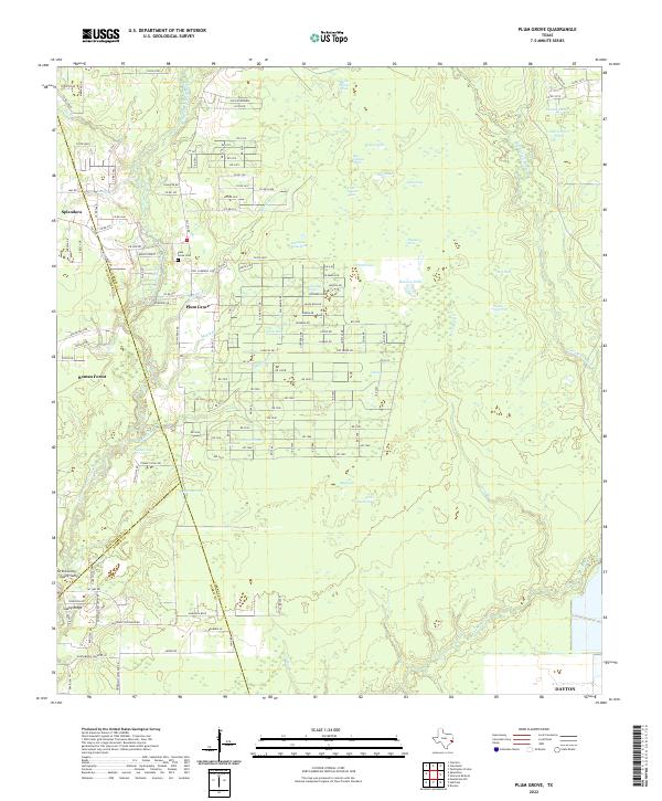 2022 Plum Grove2022 Print · USGSThe East Fork of the San Jacinto River meets the expanding rural neighborhoods of Liberty County in the early 2020s. Genealogists and local historians can map out the modern environs of Plum Grove, the Plum Grove Cem, and the reaches of Tarkington Bayou.
 - 2022 Map of Splendora, 2022 Print
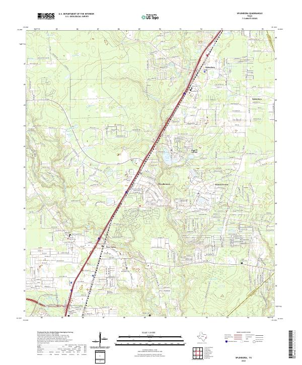 2022 Splendora2022 Print · USGSSoutheast Texas at the turn of the 21st century shows a dense network of creek-side settlements and family burial grounds. Genealogists and local historians can trace legacy sites like Mizell Cem, Turner Family Cem, and the historic rail corridor along Splendora.
End of results
Showing maps 1-16 of 16
Top cities near Roman Forest
- Houston historical maps
- Atascocita historical maps
- Kingwood historical maps
- Humble historical maps
- Cleveland historical maps
- Dayton historical maps
See more
Frequently asked questions
- What are the different types of historical maps available for Roman Forest?
- What is the oldest map of Roman Forest?
- Where can I purchase historical maps of Roman Forest for my home or office?
- Where can I download high-res historical maps of Roman Forest?
- Are there historical topographic maps available for Roman Forest?
- Is there historical aerial imagery available for Roman Forest?
- Where are historical maps of Roman Forest sourced from?