Old Maps of The Woodlands, Texas for Metal Detecting
Plan your next treasure hunt with 26 historic maps of The Woodlands. Find old homesites, ghost towns, trails, and gathering spots that may be lost to time — perfect for identifying promising metal detecting locations.
- Locate forgotten sites: Uncover places like long-lost settlements, abandoned rail lines, or gathering spots.
- Plan better hunts: Use map overlays combined with LiDAR or satellite views to narrow in on historically rich areas.
- Made for detectorists: Thousands of hobbyists use these maps to discover relics, coins, and hidden history.
Use these historic maps to boost your research and find new opportunities beneath the surface of The Woodlands.
The Woodlands, TX maps
(26)- 1916 Map of Spring
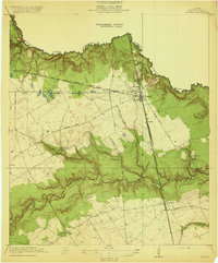
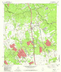
 1916 Spring1916 Print · USGSNorth Harris County was a network of railroad junctions and creek-side settlements during the early twentieth century. Researchers can trace family-named roads and schools like Kothman Road, Roth School, and the junction at Spring.3 unique versions available
 - 1920 Map of Spring
 1920 Spring1920 Print · USGSNorthern Harris County is shown at a pivotal rail-junction moment as the Galveston Line and International and Great Northern meet at Spring. Genealogists can locate early community landmarks like the Kothman School, Bammel settlement, and Roth School along the winding Cypress Creek.2 unique versions available
 - 1954 Map of Beaumont, 1964 Print
 1954 Beaumont1964 Print · USGSSoutheast Texas in the mid-fifties reveals a landscape of massive national forests, emerging reservoirs, and a booming oil economy. Genealogists and researchers can trace rural settlements like Dallardsville and Village Mills or locate early drilling sites at Sour Lake Oil Field.3 unique versions available
 - 1957 Map of Beaumont
 1957 Beaumont1957 Print · USGSSoutheast Texas in the mid-fifties is defined by the timber-rich lands between the Trinity River and Beaumont. Trace the history of the Alabama and Coushatti Indian Reservation or locate early campus sites like Prairie View College.
 - 1960 Map of Spring, 1962 Print
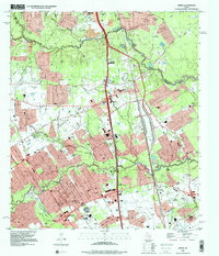
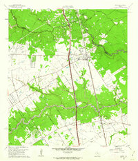 1960 Spring1962 Print · USGSNorthern Harris County is captured here just as the rural oil-and-rail economy began to transition toward modern suburbia. Genealogists can locate family burial sites like Budde Cem and Ehrhardt Cem alongside the old Missouri Pacific line.2 unique versions available
 - 1961 Map of Tamina, 1962 Print
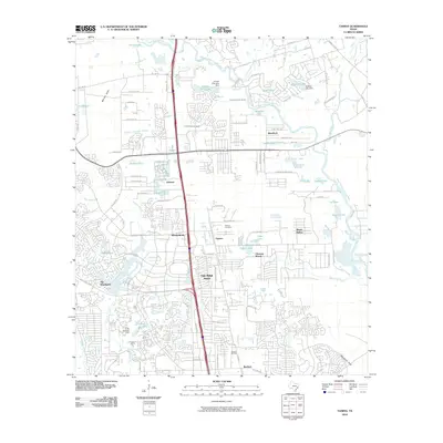
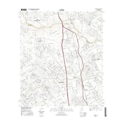
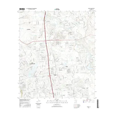
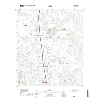
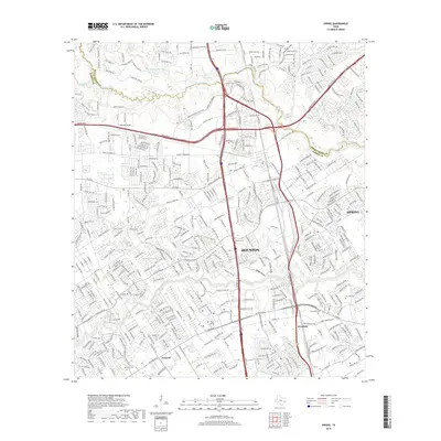
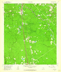 1961 Tamina1962 Print · USGSSouthern Montgomery County in the early sixties is a landscape of timber and oil, dominated by the West Fork San Jacinto River. Researchers can trace the roots of local communities at Tamina, locate family plots in the Tamina Cem, and explore the rail-side growth near Rayford.4 unique versions available
 - 1962 Map of Oklahoma, 1963 Print
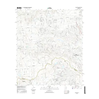
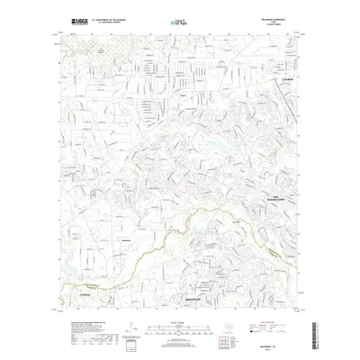
 1962 Oklahoma1963 Print · USGSSoutheast Texas in the early sixties was a landscape of expanding oil fields and small rural settlements. Genealogists and historians can trace the foundations of Oklahoma and Egypt, locate the Zion Cem, and follow the Missouri Pacific rail line.4 unique versions available
 - 1982 Map of Spring
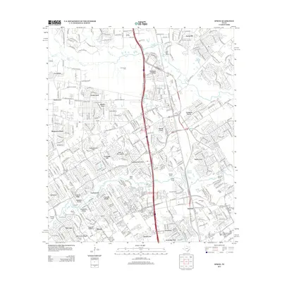
 1982 Spring1982 Print · USGSNorth of Houston in the early 1980s, the Spring area was rapidly evolving from a rail-stop settlement into a sprawling suburban hub. Genealogists and historians can trace family-named sites like Ehrhardt Cem and Glameyer Cem alongside newer landmarks like Skyline Airport.
 - 1984 Map of Beaumont
 1984 Beaumont1984 Print · USGSSoutheast Texas in the late seventies and early eighties shows a landscape of expanding reservoirs and deep timber industry. Researchers can trace the development of the Sam Houston National Forest or locate regional landmarks like Grabbs Prairie and the Wynne State Prison Farm.3 unique versions available
 - 1985 Map of Conroe
 1985 Conroe1985 Print · USGSSoutheast Texas in the mid-eighties shows a landscape of timberlands and new lakeside developments. Researchers can trace the legacy of rail lines like the Southern Pacific RR or locate rural communities such as Plantersville, Yarboro, and Hufsmith.2 unique versions available
 - 1995 Map of Spring, 2000 Print
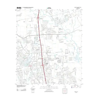
 1995 Spring2000 Print · USGSThe northern reaches of Harris County are shown in the mid-1990s during a period of rapid suburban growth. Genealogists and local historians can trace family burial sites like Wunsche Cem and Budde Cem or locate the early campus of North Harris County College.
 - 2010 Map of Oklahoma, 2010 Print
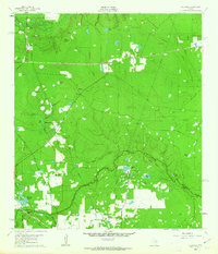
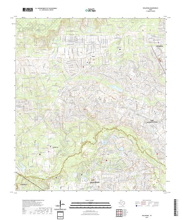
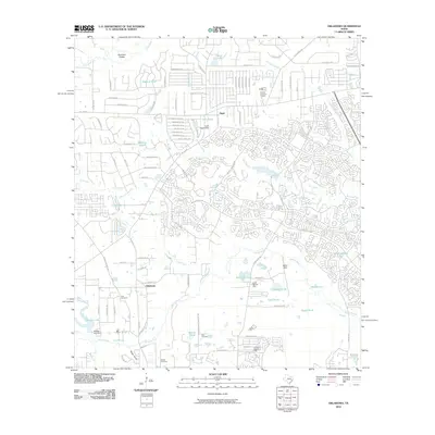 2010 Oklahoma2010 Print · USGSCovers The Woodlands, including Conroe, Tomball, and other nearby areas
 - 2010 Map of Spring, 2010 Print
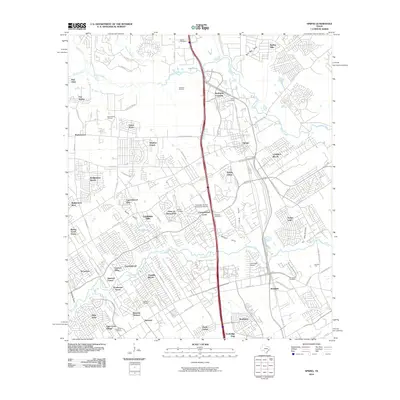 2010 Spring2010 Print · USGSCovers The Woodlands, including Houston, Spring, and other nearby areas
 - 2010 Map of Tamina, 2010 Print
 2010 Tamina2010 Print · USGSCovers The Woodlands, including Conroe, Oak Ridge North, and other nearby areas
 - 2013 Map of Spring, 2013 Print
 2013 Spring2013 Print · USGSCovers The Woodlands, including Houston, Spring, and other nearby areas
 - 2013 Map of Tamina, 2013 Print
 2013 Tamina2013 Print · USGSCovers The Woodlands, including Conroe, Oak Ridge North, and other nearby areas
 - 2013 Map of Oklahoma, 2013 Print
 2013 Oklahoma2013 Print · USGSCovers The Woodlands, including Conroe, Tomball, and other nearby areas
 - 2016 Map of Spring, 2016 Print
 2016 Spring2016 Print · USGSCovers The Woodlands, including Houston, Spring, and other nearby areas
 - 2016 Map of Oklahoma, 2016 Print
 2016 Oklahoma2016 Print · USGSCovers The Woodlands, including Conroe, Tomball, and other nearby areas
 - 2016 Map of Tamina, 2016 Print
 2016 Tamina2016 Print · USGSCovers The Woodlands, including Conroe, Oak Ridge North, and other nearby areas
 - 2019 Map of Oklahoma, 2019 Print
 2019 Oklahoma2019 Print · USGSCovers The Woodlands, including Conroe, Tomball, and other nearby areas
 - 2019 Map of Tamina, 2019 Print
 2019 Tamina2019 Print · USGSCovers The Woodlands, including Conroe, Oak Ridge North, and other nearby areas
 - 2019 Map of Spring, 2019 Print
 2019 Spring2019 Print · USGSCovers The Woodlands, including Houston, Spring, and other nearby areas
 - 2022 Map of Oklahoma, 2022 Print
 2022 Oklahoma2022 Print · USGSSuburban expansion meets deep-rooted community history in Montgomery County during the early twenty-first century. Genealogists can trace several historic burial sites, including Oklahoma Cemetery, McCall Cemetery, and the Barlow Cemetery near Tomball.
 - 2022 Map of Tamina, 2022 Print
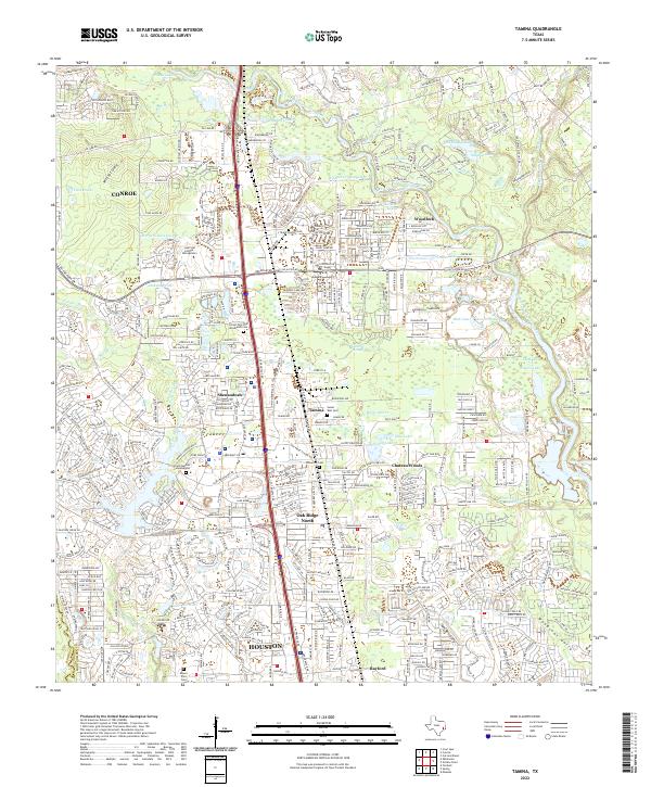 2022 Tamina2022 Print · USGSMontgomery County’s rapid transformation is on full display here in the early 2020s as residential growth surrounds established communities. Researchers can trace local heritage at Tamina, the Sweet Rest Cem, and the West Fork San Jacinto River valley.
Showing maps 1-25 of 26
Top cities near The Woodlands
- Houston historical maps
- Cypress historical maps
- Conroe historical maps
- Spring historical maps
- Tomball historical maps
- Oak Ridge North historical maps
See more
Top neighborhoods of The Woodlands
- Grogan's Point historical maps
- Indian Springs historical maps
- Village Square historical maps
- Wild Ridge historical maps
- Panther Creek historical maps
- Cochran's Crossing historical maps
See more
Frequently asked questions
- What are the different types of historical maps available for The Woodlands?
- What is the oldest map of The Woodlands?
- Where can I purchase historical maps of The Woodlands for my home or office?
- Where can I download high-res historical maps of The Woodlands?
- Are there historical topographic maps available for The Woodlands?
- Is there historical aerial imagery available for The Woodlands?
- Where are historical maps of The Woodlands sourced from?