Old Maps of Willis, Texas for Hiking & Exploration
Hike through history with 18 historic maps of Willis. Explore old trails, ghost towns, and forgotten backroads — perfect for outdoor adventurers and local explorers.
- Rediscover forgotten places: Map out old mining camps, roads, and footpaths that no longer exist on modern maps.
- Layer with modern tools: Combine with LiDAR or satellite views to plan hikes through historical terrain.
- Made for exploration: Popular among hikers, overlanders, and local history lovers.
Use these maps to find adventure and explore the hidden past of Willis.
Willis, TX maps
(18)- 1954 Map of Beaumont, 1964 Print
 1954 Beaumont1964 Print · USGSSoutheast Texas in the mid-fifties reveals a landscape of massive national forests, emerging reservoirs, and a booming oil economy. Genealogists and researchers can trace rural settlements like Dallardsville and Village Mills or locate early drilling sites at Sour Lake Oil Field.3 unique versions available
 - 1957 Map of Beaumont
 1957 Beaumont1957 Print · USGSSoutheast Texas in the mid-fifties is defined by the timber-rich lands between the Trinity River and Beaumont. Trace the history of the Alabama and Coushatti Indian Reservation or locate early campus sites like Prairie View College.
 - 1958 Map of Lake Paula, 1959 Print
 1958 Lake Paula1959 Print · USGSMontgomery County was a landscape of dense pine forests and active petroleum extraction in the late fifties. Genealogists and historians can trace family-named sites like Shepard Cem and Shepard Hill or the workings of the Willis Oil Field.3 unique versions available
 - 1960 Map of Willis, 1961 Print
 1960 Willis1961 Print · USGSThe town of Willis stands at the edge of the East Texas timberlands in the early sixties, a landscape defined by forest and resource extraction. Researchers can locate family landmarks such as New Hope Ch, the Turner High Sch, and the Missouri Pacific rail line.3 unique versions available
 - 1984 Map of Beaumont
 1984 Beaumont1984 Print · USGSSoutheast Texas in the late seventies and early eighties shows a landscape of expanding reservoirs and deep timber industry. Researchers can trace the development of the Sam Houston National Forest or locate regional landmarks like Grabbs Prairie and the Wynne State Prison Farm.3 unique versions available
 - 1985 Map of Conroe
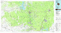 1985 Conroe1985 Print · USGSSoutheast Texas in the mid-eighties shows a landscape of timberlands and new lakeside developments. Researchers can trace the legacy of rail lines like the Southern Pacific RR or locate rural communities such as Plantersville, Yarboro, and Hufsmith.2 unique versions available
 - 1997 Map of Willis, 2000 Print
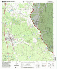 1997 Willis2000 Print · USGSWillis and the surrounding Montgomery County piney woods are captured here in the late nineties as the town expanded near the national forest. Genealogists and local historians can locate the New Hope Church, Turner High School, and the industrial footprint of the Pitts Gas Field.
 - 1997 Map of Shepard Hill, 2000 Print
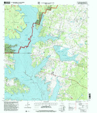 1997 Shepard Hill2000 Print · USGSThe woodlands and shorelines of Montgomery County appear in detail during the late nineties as recreation and reservoir management shaped the landscape. Researchers can locate Shepard Cemetery and trace the complex waterways of Peach Creek and Lewis Creek Reservoir.
 - 2010 Map of Willis, 2010 Print
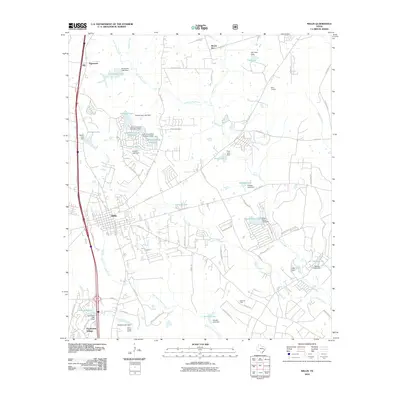 2010 Willis2010 Print · USGSThe town of Willis and the surrounding piney woods are shown here during a period of significant suburban growth north of Conroe. Researchers can trace family-named roads and landmarks like Mount Zion, the Pitts Gas Field, and the lakeside community of Panorama Village.
 - 2010 Map of Shepard Hill, 2010 Print
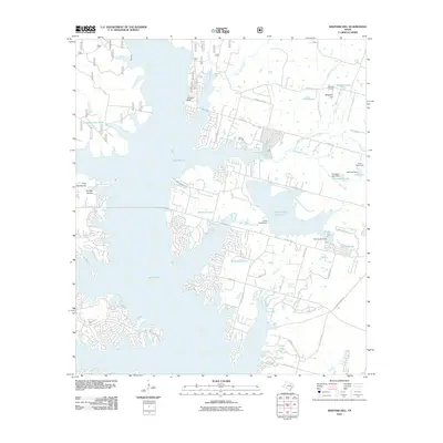 2010 Shepard Hill2010 Print · USGSIn the Conroe area during the late 2000s, this landscape shows a transition between traditional Texas industry and growing lakeside communities. Trace family landmarks and local sites like Shepard Cemetery, the Willis Oil Field, and Lake Paula.
 - 2013 Map of Shepard Hill, 2013 Print
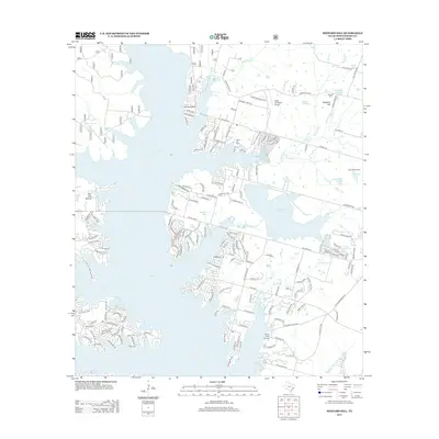 2013 Shepard Hill2013 Print · USGSMontgomery County's lakeside developments and aviation heritage are on full display in this survey of the northern shoreline. Researchers can locate the Shepard Cem, trace the footprint of the Willis Oil Field, or find landmarks like Gdap Air Ranch Airport.
 - 2013 Map of Willis, 2013 Print
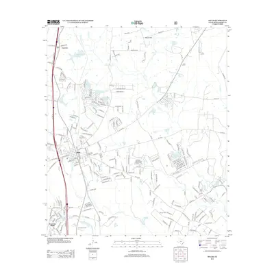 2013 Willis2013 Print · USGSMontgomery County was experiencing significant growth north of Conroe in the early twenty-first century as suburban neighborhoods expanded into the piney woods. Researchers can locate family sites at the Jeraph cemetery, the Mount Zion church, and trace the BNSF rail line.
 - 2016 Map of Willis, 2016 Print
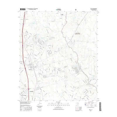 2016 Willis2016 Print · USGSMontgomery County in the mid-2010s shows a landscape defined by forest preserves and lakeside communities north of Houston. Genealogists and local historians can trace modern developments like Panorama Village and Royal Forest Lake alongside Mount Zion.
 - 2016 Map of Shepard Hill, 2016 Print
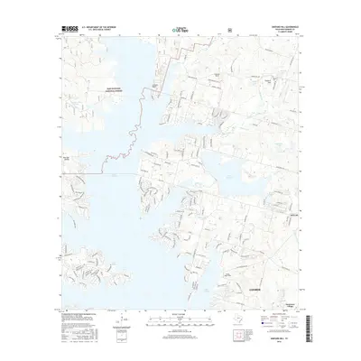 2016 Shepard Hill2016 Print · USGSUpper Montgomery County comes alive in the mid-2010s, showing the intersection of Sam Houston National Forest and the residential growth around Lake Conroe. Researchers can trace family landmarks like Shepard Cem and Shepard Hill or explore early aviation at Flying Hare Field.
 - 2019 Map of Willis, 2019 Print
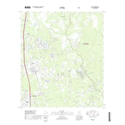 2019 Willis2019 Print · USGSMontgomery County was experiencing significant residential expansion into the piney woods during the late 2010s. Researchers can trace the development of Willis and Panorama Village alongside many private water bodies like Selden Lake and Frontier Lake.
 - 2019 Map of Shepard Hill, 2019 Print
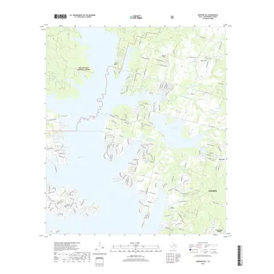 2019 Shepard Hill2019 Print · USGSSoutheastern Texas in the modern era shows a landscape where rapid suburban growth meets the Sam Houston National Forest. Genealogists and local historians can trace the proximity of Shepard Cemetery and Cude Cemetery to the evolving shorelines of Lake Conroe.
 - 2022 Map of Willis, 2022 Print
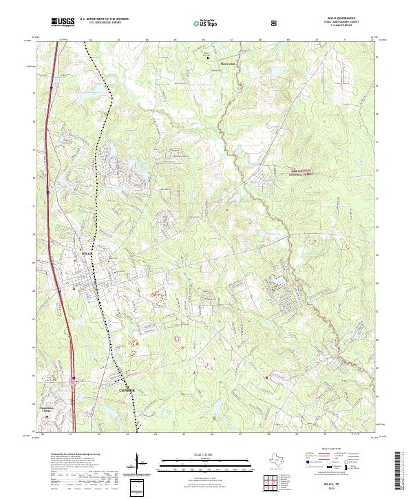 2022 Willis2022 Print · USGSThe piney woods north of Houston are captured here during a period of suburban expansion into the Sam Houston National Forest. Genealogists can locate Willis Cem and Rest Haven Cem, while water-history researchers can trace the developed shorelines of Panorama Lake and Frontier Lake.
 - 2022 Map of Shepard Hill, 2022 Print
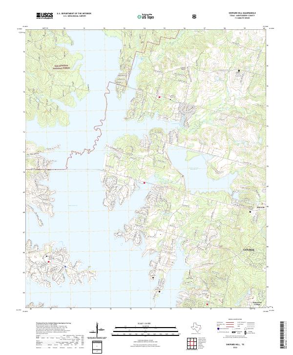 2022 Shepard Hill2022 Print · USGSThe northern edge of the Conroe area meets the dense timber of the Sam Houston National Forest in this recent survey. Researchers can trace family history at Cude Cem and New Home Cem or locate landmarks like Flying Hare Field.
End of results
Showing maps 1-18 of 18
Top cities near Willis
- The Woodlands historical maps
- Conroe historical maps
- Huntsville historical maps
- Panorama Village historical maps
- Magnolia historical maps
- Cut and Shoot historical maps
See more
Frequently asked questions
- What are the different types of historical maps available for Willis?
- What is the oldest map of Willis?
- Where can I purchase historical maps of Willis for my home or office?
- Where can I download high-res historical maps of Willis?
- Are there historical topographic maps available for Willis?
- Is there historical aerial imagery available for Willis?
- Where are historical maps of Willis sourced from?