Old Maps of Bryden, Texas for Genealogy
Trace your family roots with 9 historic maps of Bryden. These high-res maps reveal old neighborhoods, homesites, landmarks, and streets — helping you uncover where your ancestors lived and how the area evolved over time.
- Explore historic neighborhoods: Identify where your relatives may have lived in the 1800s or 1900s.
- Compare maps over time: Trace the changes in streets, buildings, and landmarks for multi-generational research.
- Perfect for genealogy & ancestry research: Used by family historians and researchers to map out lineage and migration.
These maps are an incredible resource for exploring your personal connection to Bryden's past.
Bryden, TX maps
(9)- 1954 Map of Perryton, 1966 Print
 1954 Perryton1966 Print · USGSThe High Plains of the Texas and Oklahoma panhandles are shown during a period of steady growth in the mid-1950s. Genealogists and researchers can trace rail history and local landmarks like Panhandle A & M College, Spurlock Chapel, and the isolated Lord Station.3 unique versions available
 - 1958 Map of Perryton
 1958 Perryton1958 Print · USGSThe Oklahoma Panhandle and Texas borderlands come alive in this mid-century survey, showing the vital rail-and-ranch economy of the High Plains. Researchers can trace historic stops along the Chicago Rock Island and Pacific and locate rural landmarks like Bethel Church and Spurlock Chapel.
 - 1963 Map of Cactus East, 1966 Print
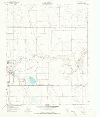 1963 Cactus East1966 Print · USGSThe High Plains industry of the early sixties comes into focus at the intersection of Sherman and Moore counties. Trace the rail-and-oil economy through the Sunray Gas and Oil Field, the Etter settlement, and Sheerin Junction.
 - 1986 Map of Spearman, 1988 Print
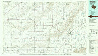 1986 Spearman1988 Print · USGSThe northern Texas Panhandle and Oklahoma border are seen here in the mid-1980s as a landscape of energy production and ranching. Trace local genealogy and land use across the oil and gas field or through settlements like Spearman, Texhoma, and Gruver.
 - 2010 Map of Cactus East, 2010 Print
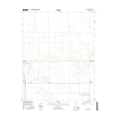
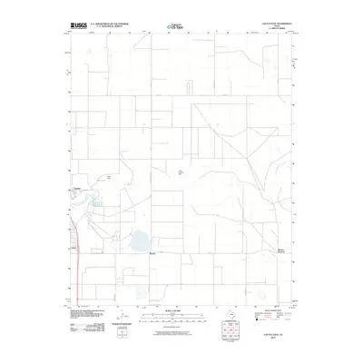 2010 Cactus East2010 Print · USGSCovers Bryden, including Cactus, Sheerin Junction, and other nearby areas
 - 2012 Map of Cactus East, 2012 Print
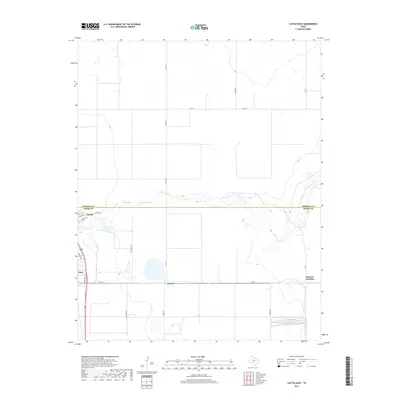
 2012 Cactus East2012 Print · USGSCovers Bryden, including Cactus, Sheerin Junction, and other nearby areas
 - 2016 Map of Cactus East, 2016 Print
 2016 Cactus East2016 Print · USGSCovers Bryden, including Cactus, Sheerin Junction, and other nearby areas
 - 2019 Map of Cactus East, 2019 Print
 2019 Cactus East2019 Print · USGSCovers Bryden, including Cactus, Sheerin Junction, and other nearby areas
 - 2022 Map of Cactus East, 2022 Print
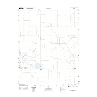
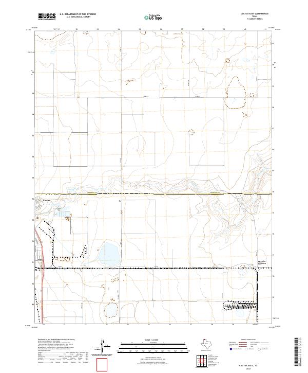 2022 Cactus East2022 Print · USGSThe northern Panhandle comes into focus in this recent survey of the Sherman and Moore County line. Researchers can trace the industrial and rural development of Cactus, Etter, and Sheerin Junction along the banks of N Palo Duro Cr.
End of results
Showing maps 1-9 of 9
Top cities near Bryden
Frequently asked questions
- What are the different types of historical maps available for Bryden?
- What is the oldest map of Bryden?
- Where can I purchase historical maps of Bryden for my home or office?
- Where can I download high-res historical maps of Bryden?
- Are there historical topographic maps available for Bryden?
- Is there historical aerial imagery available for Bryden?
- Where are historical maps of Bryden sourced from?