Old Maps of Dumas, Texas
Explore 15 old maps of Dumas, spanning from 1954 to today. These high-resolution historic maps reveal how streets, neighborhoods, landmarks, and natural features evolved over time — perfect for genealogy, metal detecting, research, and local history exploration.
What you can do with these maps:
- See how Dumas changed over time: Compare historical maps to modern-day views to trace roads, homesites, rail lines & more.
- View detailed metadata: Each map includes creators, publishers, year, scale, and archive source.
- Overlay maps with satellite & LiDAR: Visualize the past alongside modern tools to explore terrain & human change.
- Trusted historical sources: Maps sourced from the USGS, Library of Congress, and other archives.
- Access maps your way: View online, download high-res files, or order prints for personal or research use.
Start exploring old maps of Dumas to uncover forgotten places, hidden landmarks, and the deep history beneath your feet.
Dumas, TX maps
(15)- 1954 Map of Amarillo, 1966 Print
 1954 Amarillo1966 Print · USGSThe Texas Panhandle in the mid-1960s shows a landscape of rising industrial power and deep-rooted ranching tradition. Local historians can trace the paths of the Panhandle and Santa Fe railroad or locate sites like the Pantex Ordnance Plant and Mobeetie.2 unique versions available
 - 1958 Map of Amarillo
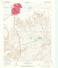
 1958 Amarillo1958 Print · USGSThe Texas Panhandle in the mid-1950s reveals a landscape of expanding military installations and oil-rich rail towns. Local historians can trace the development of Amarillo Air Force Base or locate smaller settlements like Magic City and New Mobeetie.
 - 1965 Map of Dumas South, 1966 Print
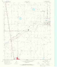
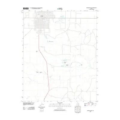
 1965 Dumas South1966 Print · USGSMoore County ranching and civic life come into focus in the mid-1960s as the town of Dumas expands. Researchers can trace neighborhood schools like South Ward Sch or locate the sprawling Coon Ranch and Burnett Ranch to the south.
 - 1965 Map of Dumas North, 1966 Print
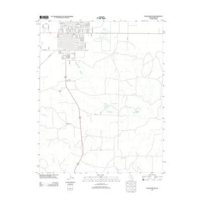
 1965 Dumas North1966 Print · USGSMoore County industry and infrastructure are on full display in the mid-1960s as the energy sector reshapes the Panhandle. Trace the rail lines of the Atchison Topeka and Santa Fe past the Refinery, Smelter, and Dumas.
 - 1986 Map of Borger
 1986 Borger1986 Print · USGSThe Texas Panhandle's energy landscape is captured here in the mid-eighties, showing the intersection of industrial development and the Lake Meredith shoreline. Researchers can trace company-town heritage and rail history through sites like Signal Hill, Supreme Camp, and the Atchison Topeka and Santa Fe railroad line.2 unique versions available
 - 2010 Map of Dumas North, 2010 Print
 2010 Dumas North2010 Print · USGSCovers Dumas, including Moore County, United States, and other nearby areas
 - 2010 Map of Dumas South, 2010 Print
 2010 Dumas South2010 Print · USGSCovers Dumas, including Moore County, United States, and other nearby areas
 - 2012 Map of Dumas North, 2012 Print
 2012 Dumas North2012 Print · USGSCovers Dumas, including Moore County, United States, and other nearby areas
 - 2013 Map of Dumas South, 2013 Print
 2013 Dumas South2013 Print · USGSCovers Dumas, including Moore County, United States, and other nearby areas
 - 2016 Map of Dumas North, 2016 Print
 2016 Dumas North2016 Print · USGSCovers Dumas, including Moore County, United States, and other nearby areas
 - 2016 Map of Dumas South, 2016 Print
 2016 Dumas South2016 Print · USGSCovers Dumas, including Moore County, United States, and other nearby areas
 - 2019 Map of Dumas South, 2019 Print
 2019 Dumas South2019 Print · USGSCovers Dumas, including Moore County, United States, and other nearby areas
 - 2019 Map of Dumas North, 2019 Print
 2019 Dumas North2019 Print · USGSCovers Dumas, including Moore County, United States, and other nearby areas
 - 2022 Map of Dumas North, 2022 Print
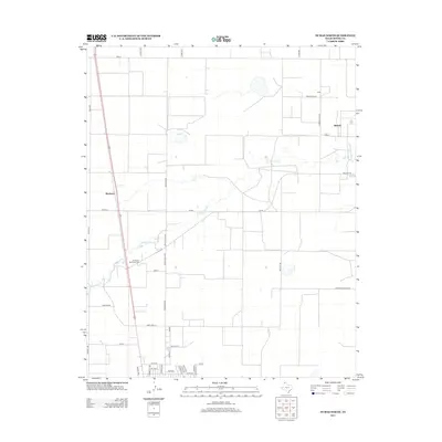
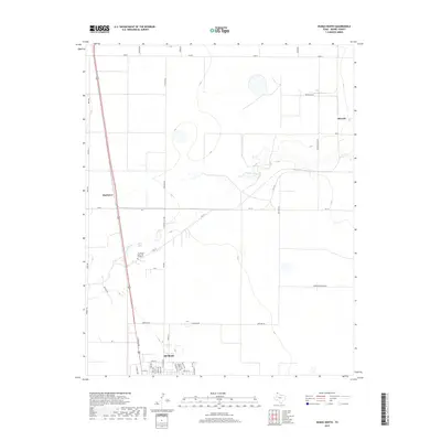
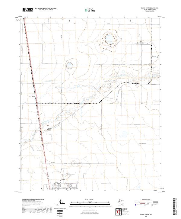 2022 Dumas North2022 Print · USGSNorthern Moore County in the early 2020s shows the expansion of Dumas and its surrounding agricultural network. Researchers can trace land use through named routes like Morton Elevator Rd and locate the Northlawn Memorial Gardens cemetery.
 - 2022 Map of Dumas South, 2022 Print
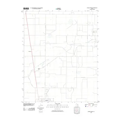
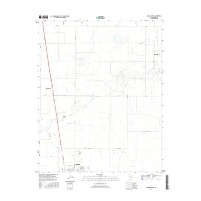
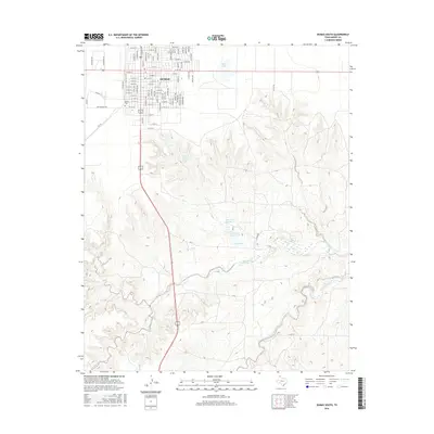
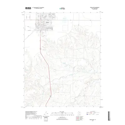
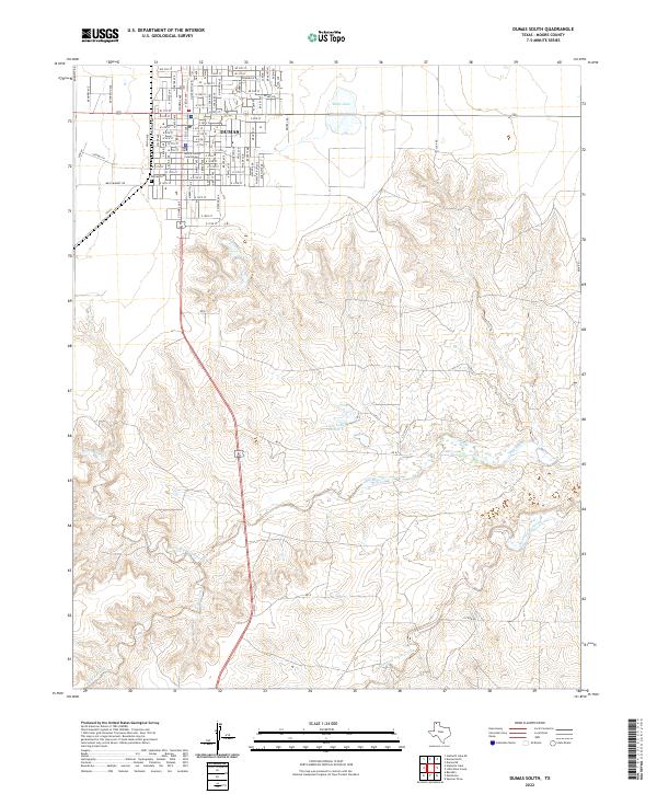 2022 Dumas South2022 Print · USGSDumas and the surrounding Moore County plains are captured in this recent survey, showcasing the city's modern street grid and drainage. Trace local history through Moore County Courthouse, Dumas Cem, and the reaches of Big Blue Creek.
End of results
Showing maps 1-15 of 15
Top cities near Dumas
Frequently asked questions
- What are the different types of historical maps available for Dumas?
- What is the oldest map of Dumas?
- Where can I purchase historical maps of Dumas for my home or office?
- Where can I download high-res historical maps of Dumas?
- Are there historical topographic maps available for Dumas?
- Is there historical aerial imagery available for Dumas?
- Where are historical maps of Dumas sourced from?