Old Maps of Omaha, Texas for Academic Research
Study the evolution of Omaha with 17 high-resolution historic maps. Whether you're teaching, researching, or modeling changes in land use, these maps provide essential visual documentation of urban, environmental, and geographic change.
- Analyze long-term change: Track patterns in development, transportation, and natural features.
- Ideal for environmental or urban studies: Support academic projects with primary historical map data.
- Use in the classroom or lab: Educators and researchers rely on these maps to bring historical context to life.
These maps are a powerful tool for teaching, research, and visualizing how Omaha has changed over the decades.
Omaha, TX maps
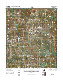
(17)- 1914 Map of Daingerfield
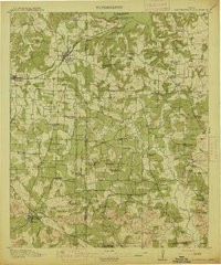 1914 Daingerfield1914 Print · USGSNortheast Texas before the Great War is captured here through its bustling rail towns and timber-rich creek bottoms. Genealogists can trace hundreds of family sites, from Walkers Chapel and Boon Hall to the busy Jennings Lake Switch.2 unique versions available
 - 1953 Map of Texarkana, 1964 Print
 1953 Texarkana1964 Print · USGSThe Texas-Arkansas borderlands are captured here in the mid-fifties, during a decade of massive military and hydraulic engineering projects. Genealogists and researchers can locate family landmarks like Old Boston Cem, Siloam Ch, and the vast Red River Arsenal.4 unique versions available
 - 1956 Map of Texarkana
 1956 Texarkana1956 Print · USGSThe Ark-La-Tex borderlands come alive in the mid-fifties, showing the transition from a rail-dependent rural economy to a post-war industrial landscape. Researchers can trace the massive Red River Ordnance Depot and find towns like Talco, Bogata, and Naples.
 - 1965 Map of Naples, 1967 Print
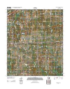
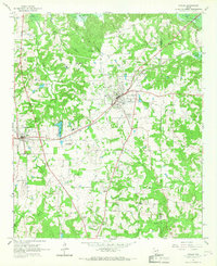 1965 Naples1967 Print · USGSNortheast Texas in the mid-sixties reveals a landscape defined by the railroad and established country communities. Genealogists and historians can trace the foundations of Naples and Omaha, locating local landmarks like Pewitt Sch and Spring Hill Cem.2 unique versions available
 - 1965 Map of Cookville, 1968 Print
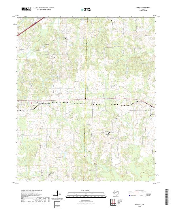
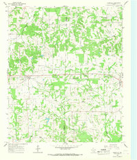 1965 Cookville1968 Print · USGSMid-century East Texas comes into focus along the St Louis Southwestern rail line between Cookville and Omaha. Genealogists and local historians can trace family roots through numerous sites like Mt Moriah Ch, Concord Cem, and Center Grove.2 unique versions available
 - 1986 Map of Texarkana
 1986 Texarkana1986 Print · USGSThe Texas-Arkansas borderlands are captured here in the mid-eighties as a hub of military industry and river-basin geography. Genealogists and local historians can locate rural landmarks like Red Hill Cem, Coopers Chapel, and the Lone Star Army Ammunition Plant.
 - 1992 Map of Texarkana
 1992 Texarkana1992 Print · USGSThe Ark-La-Tex border region comes into focus in the early nineties, centered on the sprawling waters of Wright Patman Lake. Genealogists and historians can trace rail-town development and rural roots through Old Union Cem, the Red River Army Depot, and Dalby Springs Cem.
 - 2010 Map of Cookville, 2010 Print
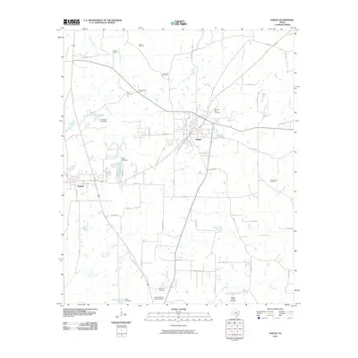
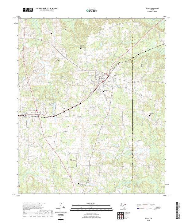
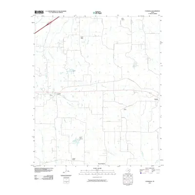 2010 Cookville2010 Print · USGSCovers Omaha, including Center Grove, Cookville, and other nearby areas
 - 2010 Map of Naples, 2010 Print
 2010 Naples2010 Print · USGSCovers Omaha, including Naples, Cass County, and other nearby areas
 - 2012 Map of Naples, 2012 Print
 2012 Naples2012 Print · USGSCovers Omaha, including Naples, Cass County, and other nearby areas
 - 2013 Map of Cookville, 2013 Print
 2013 Cookville2013 Print · USGSCovers Omaha, including Center Grove, Cookville, and other nearby areas
 - 2016 Map of Cookville, 2016 Print
 2016 Cookville2016 Print · USGSCovers Omaha, including Center Grove, Cookville, and other nearby areas
 - 2016 Map of Naples, 2016 Print
 2016 Naples2016 Print · USGSCovers Omaha, including Naples, Cass County, and other nearby areas
 - 2019 Map of Naples, 2019 Print
 2019 Naples2019 Print · USGSCovers Omaha, including Naples, Cass County, and other nearby areas
 - 2019 Map of Cookville, 2019 Print
 2019 Cookville2019 Print · USGSCovers Omaha, including Center Grove, Cookville, and other nearby areas
 - 2022 Map of Cookville, 2022 Print
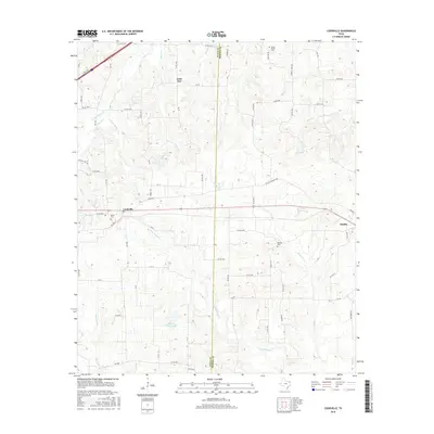
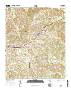
 2022 Cookville2022 Print · USGSThe rural borderlands of Titus and Morris Counties are captured in this recent survey. Genealogists can trace family names at the Lone Star Cem, Omaha Cem, and the dual Center Grove Cem sites near Cookville.
 - 2022 Map of Naples, 2022 Print
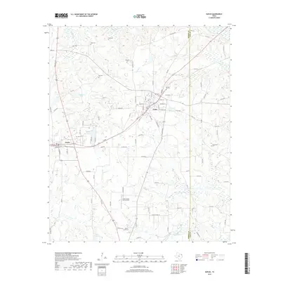
 2022 Naples2022 Print · USGSNortheast Texas in the early 2020s shows the close-knit connection between Naples and Omaha along the Morris County landscape. Researchers can locate numerous local burial grounds including Galloway Cem, Wheatville Cem, and the Morning Star Cem.
End of results
Showing maps 1-17 of 17
Top cities near Omaha
- Mount Pleasant historical maps
- Pittsburg historical maps
- Daingerfield historical maps
- Hughes Springs historical maps
- Naples historical maps
- Marietta historical maps
Frequently asked questions
- What are the different types of historical maps available for Omaha?
- What is the oldest map of Omaha?
- Where can I purchase historical maps of Omaha for my home or office?
- Where can I download high-res historical maps of Omaha?
- Are there historical topographic maps available for Omaha?
- Is there historical aerial imagery available for Omaha?
- Where are historical maps of Omaha sourced from?