Old Maps of Rocky Branch, Texas for Metal Detecting
Plan your next treasure hunt with 11 historic maps of Rocky Branch. Find old homesites, ghost towns, trails, and gathering spots that may be lost to time — perfect for identifying promising metal detecting locations.
- Locate forgotten sites: Uncover places like long-lost settlements, abandoned rail lines, or gathering spots.
- Plan better hunts: Use map overlays combined with LiDAR or satellite views to narrow in on historically rich areas.
- Made for detectorists: Thousands of hobbyists use these maps to discover relics, coins, and hidden history.
Use these historic maps to boost your research and find new opportunities beneath the surface of Rocky Branch.
Rocky Branch, TX maps
(11)- 1914 Map of Daingerfield
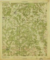 1914 Daingerfield1914 Print · USGSNortheast Texas before the Great War is captured here through its bustling rail towns and timber-rich creek bottoms. Genealogists can trace hundreds of family sites, from Walkers Chapel and Boon Hall to the busy Jennings Lake Switch.2 unique versions available
 - 1953 Map of Texarkana, 1964 Print
 1953 Texarkana1964 Print · USGSThe Texas-Arkansas borderlands are captured here in the mid-fifties, during a decade of massive military and hydraulic engineering projects. Genealogists and researchers can locate family landmarks like Old Boston Cem, Siloam Ch, and the vast Red River Arsenal.4 unique versions available
 - 1956 Map of Texarkana
 1956 Texarkana1956 Print · USGSThe Ark-La-Tex borderlands come alive in the mid-fifties, showing the transition from a rail-dependent rural economy to a post-war industrial landscape. Researchers can trace the massive Red River Ordnance Depot and find towns like Talco, Bogata, and Naples.
 - 1964 Map of Daingerfield, 1967 Print
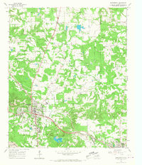 1964 Daingerfield1967 Print · USGSMorris County was a hub of rail activity and iron-ore mining in the mid-sixties, centered on the growing town of Daingerfield. Genealogists and historians can trace the foundations of local life at Daingerfield State Park, the Black Mountain Mine, and several rural landmarks like Bradfield Ch.2 unique versions available
 - 1986 Map of Texarkana
 1986 Texarkana1986 Print · USGSThe Texas-Arkansas borderlands are captured here in the mid-eighties as a hub of military industry and river-basin geography. Genealogists and local historians can locate rural landmarks like Red Hill Cem, Coopers Chapel, and the Lone Star Army Ammunition Plant.
 - 1992 Map of Texarkana
 1992 Texarkana1992 Print · USGSThe Ark-La-Tex border region comes into focus in the early nineties, centered on the sprawling waters of Wright Patman Lake. Genealogists and historians can trace rail-town development and rural roots through Old Union Cem, the Red River Army Depot, and Dalby Springs Cem.
 - 2010 Map of Daingerfield, 2010 Print
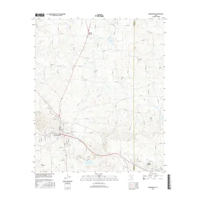
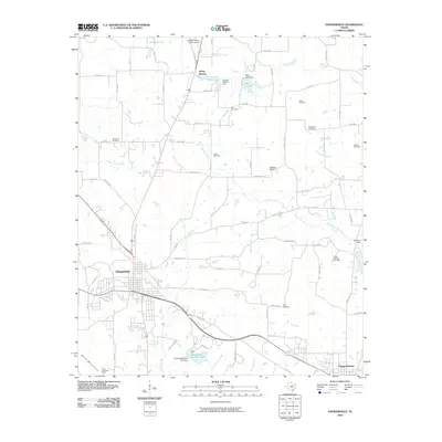 2010 Daingerfield2010 Print · USGSCovers Rocky Branch, including Daingerfield, Hughes Springs, and other nearby areas
 - 2013 Map of Daingerfield, 2013 Print
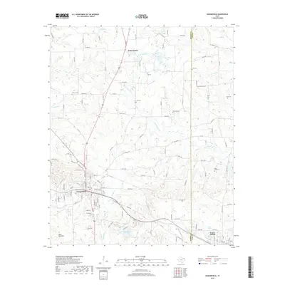
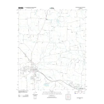 2013 Daingerfield2013 Print · USGSCovers Rocky Branch, including Daingerfield, Hughes Springs, and other nearby areas
 - 2016 Map of Daingerfield, 2016 Print
 2016 Daingerfield2016 Print · USGSCovers Rocky Branch, including Daingerfield, Hughes Springs, and other nearby areas
 - 2019 Map of Daingerfield, 2019 Print
 2019 Daingerfield2019 Print · USGSCovers Rocky Branch, including Daingerfield, Hughes Springs, and other nearby areas
 - 2022 Map of Daingerfield, 2022 Print
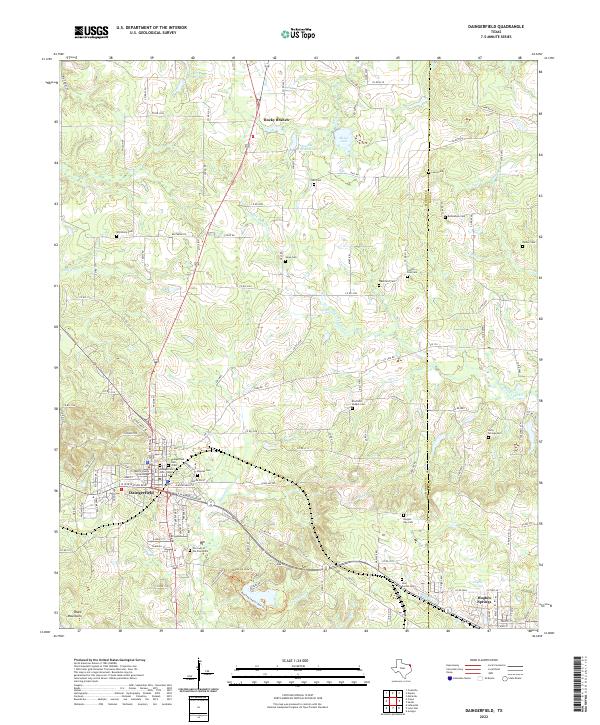 2022 Daingerfield2022 Print · USGSDaingerfield and the surrounding Morris County timberlands are captured here in the early twenty-first century. Researchers can trace local history through the Morris County Courthouse and a dense network of country burial grounds like Veal Switch Cem and Bradfield Chapel Cem.
End of results
Showing maps 1-11 of 11
Top cities near Rocky Branch
- Daingerfield historical maps
- Hughes Springs historical maps
- Lone Star historical maps
- Naples historical maps
- Omaha historical maps
- Avinger historical maps
See more
Frequently asked questions
- What are the different types of historical maps available for Rocky Branch?
- What is the oldest map of Rocky Branch?
- Where can I purchase historical maps of Rocky Branch for my home or office?
- Where can I download high-res historical maps of Rocky Branch?
- Are there historical topographic maps available for Rocky Branch?
- Is there historical aerial imagery available for Rocky Branch?
- Where are historical maps of Rocky Branch sourced from?