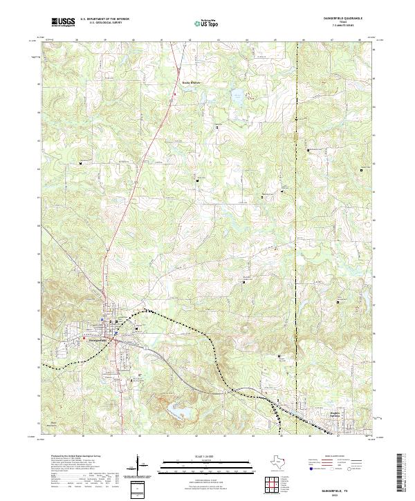
2022 Map of Daingerfield
USGS Topo · Published 2022About this map
Daingerfield serves as the focal point of this East Texas survey, situated at the junction of several critical regional thoroughfares. The town's historic core is anchored by the Morris County Courthouse, surrounded by established local landmarks like Our Lady of the Pines Cem and the twin Daingerfield Cem East and Daingerfield Cem West. The landscape is a network of water and timber, defined by the winding course of Black Cypress Cr and the heights of the Black Mountains to the southwest.
Find a feature on this map
132 named features on this map. Tap any name to fly to it.
Don’t see what you’re looking for? This feature index may not catch every label — zoom into the map to look around manually.
Map Details
Editions of this 2022 Daingerfield Map
This is the sole edition of this map. No revisions or reprints were ever made.
Other maps of this area

1914 · Daingerfield
USGS Topo · 1:62,500

1953 · Texarkana
USGS Topo · 1:250,000

1956 · Texarkana
USGS Topo · 1:250,000

1956 · Tyler
USGS Topo · 1:250,000

1960 · La Fayette
USGS Topo · 1:24,000

1962 · Avinger
USGS Topo · 1:24,000

1962 · Lone Star
USGS Topo · 1:24,000

1964 · Daingerfield
USGS Topo · 1:24,000

1964 · Cason
USGS Topo · 1:24,000

1965 · Marietta
USGS Topo · 1:24,000