Old Maps of Nacogdoches, Texas for Academic Research
Study the evolution of Nacogdoches with 30 high-resolution historic maps. Whether you're teaching, researching, or modeling changes in land use, these maps provide essential visual documentation of urban, environmental, and geographic change.
- Analyze long-term change: Track patterns in development, transportation, and natural features.
- Ideal for environmental or urban studies: Support academic projects with primary historical map data.
- Use in the classroom or lab: Educators and researchers rely on these maps to bring historical context to life.
These maps are a powerful tool for teaching, research, and visualizing how Nacogdoches has changed over the decades.
Nacogdoches, TX maps
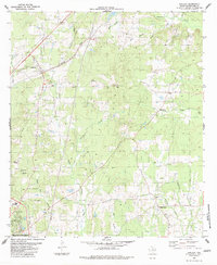
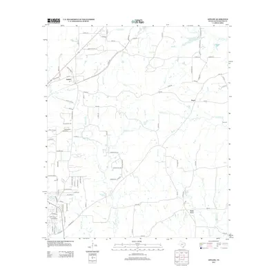
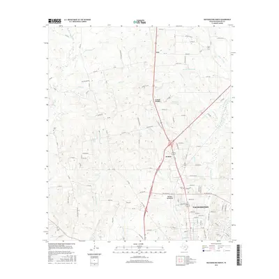
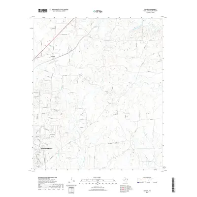
(30)- 1952 Map of Nacogdoches, 1953 Print
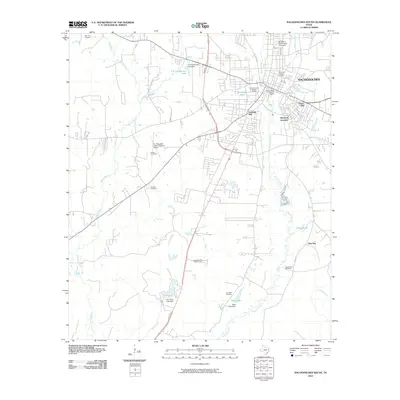
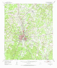 1952 Nacogdoches1953 Print · USGSNacogdoches and its surrounding piney woods communities are captured here in the early fifties as the region balanced its colonial roots with modern growth. Genealogists and local historians can trace family landmarks like the Old North Ch, Johnson Chapel, and Bonaldo Cem alongside the legendary path of the Old San Antonio Road.3 unique versions available
 - 1953 Map of Palestine, 1964 Print
 1953 Palestine1964 Print · USGSEast Texas was defined by its deep pine forests and burgeoning energy sector in the mid-1950s. Genealogists and historians can trace the rail-and-river economy through settlements like Tennessee Colony and Pollok or explore the early footprints of the Cayuga Oil Field and Davy Crockett National Forest.2 unique versions available
 - 1957 Map of Palestine
 1957 Palestine1957 Print · USGSEast Texas in the mid-fifties reveals a landscape of deep pine forests and winding river valleys before the era of massive reservoir construction. Researchers can trace the legacy of the timber and rail industries through labels for the Missouri Pacific RR, Davy Crockett National Forest, and Nacogdoches.
 - 1983 Map of Nacogdoches South
 1983 Nacogdoches South1983 Print · USGSNacogdoches and its southern outskirts are captured here in the early eighties, showing the city's growth alongside the university and bayous. Researchers can trace historic cemeteries like Old Union Cem and family landmarks near Goyene Hill.2 unique versions available
 - 1983 Map of Woden
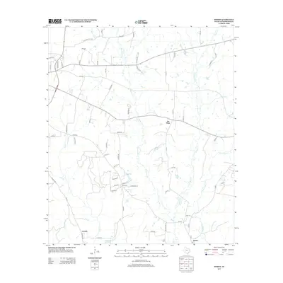
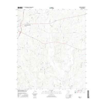
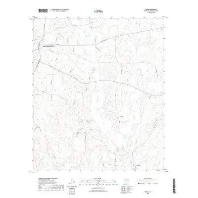
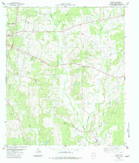 1983 Woden1983 Print · USGSSoutheast Texas in the late seventies and early eighties reveals a landscape of rural hamlets and deep creek bottoms. Trace the path of the Old Railroad Grade past Fellowship or locate family roots near Moroney Cem and Lacyville.
 - 1983 Map of Nacogdoches North
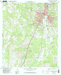
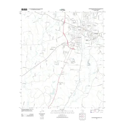
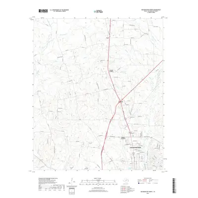
 1983 Nacogdoches North1983 Print · USGSNacogdoches and its northern timberlands are documented in the early eighties as the city expanded around the Stephen F Austin State University campus. Genealogists can locate numerous rural landmarks like Old North Cem, Mahl, and the Southern Pacific rail line.
 - 1983 Map of Appleby
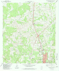
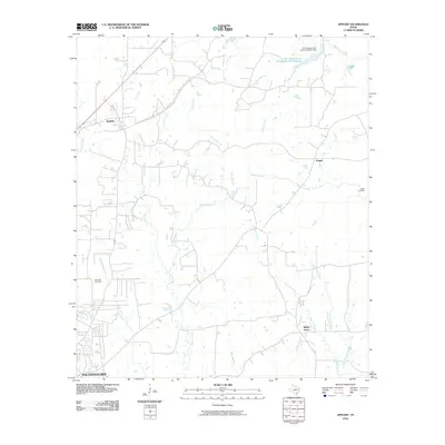
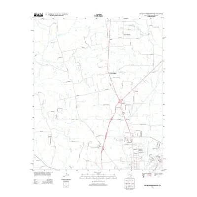
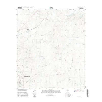
 1983 Appleby1983 Print · USGSNacogdoches County in the early eighties shows a landscape of rail-side towns and rural creek-valley settlements. Researchers can trace family history through sites like Bethel Cem, High Morning Ch, and the SOUTHERN PACIFIC line through Appleby.
 - 1984 Map of Palestine
 1984 Palestine1984 Print · USGSEast Texas in the mid-eighties reveals a landscape of massive reservoirs and protected timberlands between Palestine and Nacogdoches. Researchers can trace old routes like the Missouri Pacific RR and locate rural communities such as Tennessee Colony, Latexo, and Etoile.3 unique versions available
 - 1986 Map of Nacogdoches
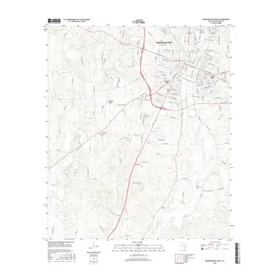
 1986 Nacogdoches1986 Print · USGSDeep in the East Texas Piney Woods during the mid-eighties, this landscape centers on Nacogdoches and the sprawling Toledo Bend Reservoir. Genealogists can trace family footprints at Sulphur Springs Cem, Oak Grove Ch, and the many small settlements like Reklaw and Sacul.
 - 1992 Map of Nacogdoches
 1992 Nacogdoches1992 Print · USGSEast Texas timberlands and river valleys are captured here in the early nineties, centered on the historic regional hub of Nacogdoches. Trace family roots and old rail lines through Cushing, San Augustine, and Logansport along the Southern Pacific RR.
 - 2010 Map of Nacogdoches North, 2010 Print
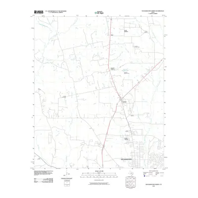 2010 Nacogdoches North2010 Print · USGSCovers Nacogdoches, including Redfield, Central Heights, and other nearby areas
 - 2010 Map of Woden, 2010 Print
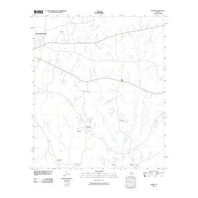 2010 Woden2010 Print · USGSCovers Nacogdoches, including Plainview, Lacyville, and other nearby areas
 - 2010 Map of Appleby, 2010 Print
 2010 Appleby2010 Print · USGSCovers Nacogdoches, including Appleby, Pisgah, and other nearby areas
 - 2010 Map of Nacogdoches South, 2010 Print
 2010 Nacogdoches South2010 Print · USGSCovers Nacogdoches, including Hayward Junction, Fredonia Hill, and other nearby areas
 - 2013 Map of Nacogdoches South, 2013 Print
 2013 Nacogdoches South2013 Print · USGSCovers Nacogdoches, including Hayward Junction, Fredonia Hill, and other nearby areas
 - 2013 Map of Woden, 2013 Print
 2013 Woden2013 Print · USGSCovers Nacogdoches, including Plainview, Lacyville, and other nearby areas
 - 2013 Map of Appleby, 2013 Print
 2013 Appleby2013 Print · USGSCovers Nacogdoches, including Appleby, Pisgah, and other nearby areas
 - 2013 Map of Nacogdoches North, 2013 Print
 2013 Nacogdoches North2013 Print · USGSCovers Nacogdoches, including Redfield, Central Heights, and other nearby areas
 - 2016 Map of Woden, 2016 Print
 2016 Woden2016 Print · USGSCovers Nacogdoches, including Plainview, Lacyville, and other nearby areas
 - 2016 Map of Appleby, 2016 Print
 2016 Appleby2016 Print · USGSCovers Nacogdoches, including Appleby, Pisgah, and other nearby areas
 - 2016 Map of Nacogdoches North, 2016 Print
 2016 Nacogdoches North2016 Print · USGSCovers Nacogdoches, including Redfield, Central Heights, and other nearby areas
 - 2016 Map of Nacogdoches South, 2016 Print
 2016 Nacogdoches South2016 Print · USGSCovers Nacogdoches, including Hayward Junction, Fredonia Hill, and other nearby areas
 - 2019 Map of Nacogdoches North, 2019 Print
 2019 Nacogdoches North2019 Print · USGSCovers Nacogdoches, including Redfield, Central Heights, and other nearby areas
 - 2019 Map of Woden, 2019 Print
 2019 Woden2019 Print · USGSCovers Nacogdoches, including Plainview, Lacyville, and other nearby areas
 - 2019 Map of Appleby, 2019 Print
 2019 Appleby2019 Print · USGSCovers Nacogdoches, including Appleby, Pisgah, and other nearby areas
Showing maps 1-25 of 30
Top cities near Nacogdoches
Top neighborhoods of Nacogdoches
Frequently asked questions
- What are the different types of historical maps available for Nacogdoches?
- What is the oldest map of Nacogdoches?
- Where can I purchase historical maps of Nacogdoches for my home or office?
- Where can I download high-res historical maps of Nacogdoches?
- Are there historical topographic maps available for Nacogdoches?
- Is there historical aerial imagery available for Nacogdoches?
- Where are historical maps of Nacogdoches sourced from?