Old Maps of Indian Hills, Texas for Hiking & Exploration
Hike through history with 11 historic maps of Indian Hills. Explore old trails, ghost towns, and forgotten backroads — perfect for outdoor adventurers and local explorers.
- Rediscover forgotten places: Map out old mining camps, roads, and footpaths that no longer exist on modern maps.
- Layer with modern tools: Combine with LiDAR or satellite views to plan hikes through historical terrain.
- Made for exploration: Popular among hikers, overlanders, and local history lovers.
Use these maps to find adventure and explore the hidden past of Indian Hills.
Indian Hills, TX maps
(11)- 1953 Map of Alexandria, 1963 Print
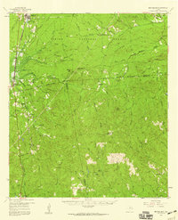
 1953 Alexandria1963 Print · USGSCentral Louisiana during the early fifties is mapped here at the intersection of the piney woods and the Red River valley. Genealogists and historians can trace the rail-and-river network connecting towns like Alexandria, Natchitoches, and the grounds of Camp Beauregard.3 unique versions available
 - 1955 Map of Alexandria
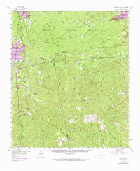
 1955 Alexandria1955 Print · USGSCentral Louisiana in the mid-fifties is a landscape of river-port cities, sprawling timberlands, and massive military reservations. Genealogists and historians can trace the rail networks of the Texas & Pacific RR and locate sites like Camp Polk Military Reservation and Natchitoches.
 - 1957 Map of Brookeland, 1959 Print
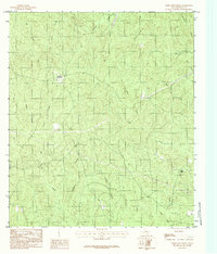
 1957 Brookeland1959 Print · USGSDeep in the Piney Woods during the late fifties, this area shows a landscape defined by timber, rail, and family settlements. Genealogists can trace rural roots at Weeks Settlement, Browndell, and the Low Cem (Historical Mon).2 unique versions available
 - 1969 Map of Brookeland, 1970 Print
 1969 Brookeland1970 Print · USGSEast Texas timberlands and rising reservoir waters meet in this late-sixties study of the Sabine National Forest. Trace the local genealogy of Brookeland through landmarks like Lowe Cem (Historical Mon) and Weeks Settlement.
 - 1984 Map of Weeks Settlement
 1984 Weeks Settlement1984 Print · USGSNewton County's rural timber and creek lands are captured here in the mid-1980s, documenting a landscape defined by its waterways. Researchers can locate the Weeks Settlement and trace local landmarks like the Lookout Tower and Indian Hills.
 - 1986 Map of Leesville, 1988 Print
 1986 Leesville1988 Print · USGSThe Louisiana-Texas borderlands in the mid-eighties centered on the vast Toledo Bend Reservoir and the timber-rich piney woods. Researchers can trace the Kansas City Southern RR corridor or locate old communities like Wiergate, Rosevine, and Sandel.
 - 2010 Map of Weeks Settlement, 2010 Print
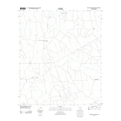
 2010 Weeks Settlement2010 Print · USGSCovers Indian Hills, including Weeks Settlement, Newton County, and other nearby areas
 - 2012 Map of Weeks Settlement, 2012 Print
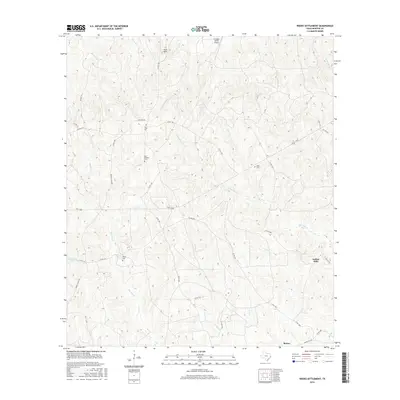
 2012 Weeks Settlement2012 Print · USGSCovers Indian Hills, including Weeks Settlement, Newton County, and other nearby areas
 - 2016 Map of Weeks Settlement, 2016 Print
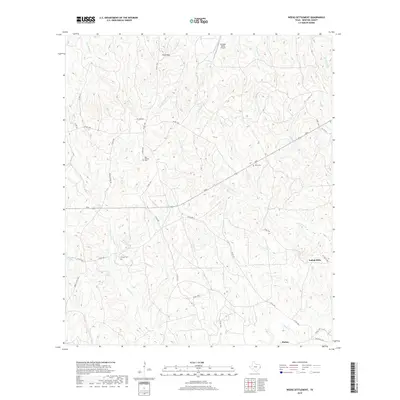
 2016 Weeks Settlement2016 Print · USGSCovers Indian Hills, including Weeks Settlement, Newton County, and other nearby areas
 - 2019 Map of Weeks Settlement, 2019 Print
 2019 Weeks Settlement2019 Print · USGSCovers Indian Hills, including Weeks Settlement, Newton County, and other nearby areas
 - 2022 Map of Weeks Settlement, 2022 Print
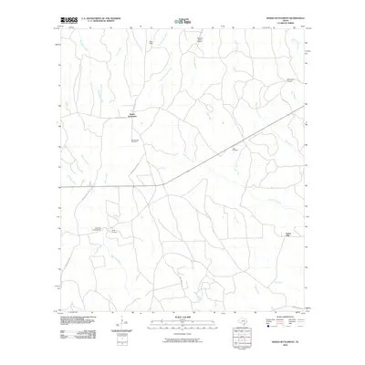
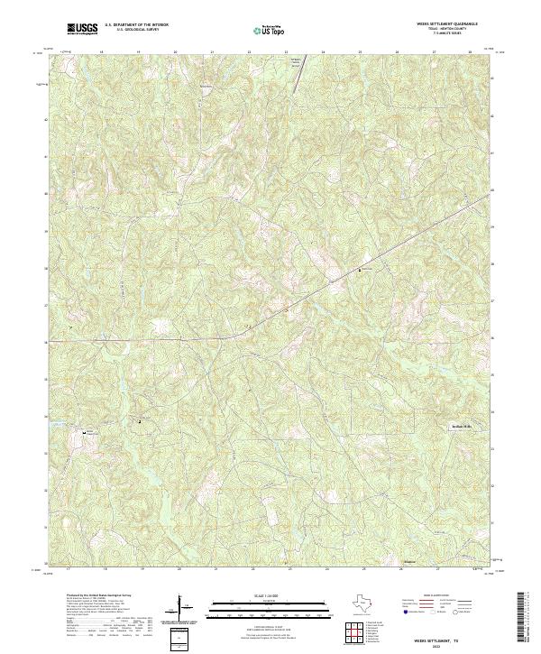 2022 Weeks Settlement2022 Print · USGSNewton County's creek-split timberlands are captured here in the early twenty-first century, showing a landscape shaped by water and tradition. Genealogists can trace family footprints at Hardy Cem and Weeks Chapel Cem near the banks of Big Cow Cr.
End of results
Showing maps 1-11 of 11
Top cities near Indian Hills
Frequently asked questions
- What are the different types of historical maps available for Indian Hills?
- What is the oldest map of Indian Hills?
- Where can I purchase historical maps of Indian Hills for my home or office?
- Where can I download high-res historical maps of Indian Hills?
- Are there historical topographic maps available for Indian Hills?
- Is there historical aerial imagery available for Indian Hills?
- Where are historical maps of Indian Hills sourced from?