2020s Maps of Ochiltree County, Texas
Explore 21 historic maps of Ochiltree County from the 2020s. These maps offer a rare glimpse into what life looked like during the 2020s — showing old roads, neighborhoods, homes, and landmarks that have changed or disappeared over time.
Whether you're researching your family's past, planning a metal detecting trip, or studying how Ochiltree County's landscape evolved across the 2020s, these high-resolution maps are a powerful tool for exploring the history of this region.
- Focus on a specific era: All maps on this page are from the 2020s, giving you a focused view of this time period.
- See what’s changed: Compare century-old streets, trails, and buildings to today's modern landscape using overlays and satellite layers.
- Research with precision: Use these maps for genealogy, historical research, land use analysis, or educational projects.
- View, download, or print: Maps are fully viewable online in high resolution, and can be downloaded or printed for your own records.
Start exploring Ochiltree County's history through authentic maps from the 2020s. This is your window into the past.
Ochiltree County, TX maps
(21)- 2022 Map of Elmwood, 2022 Print
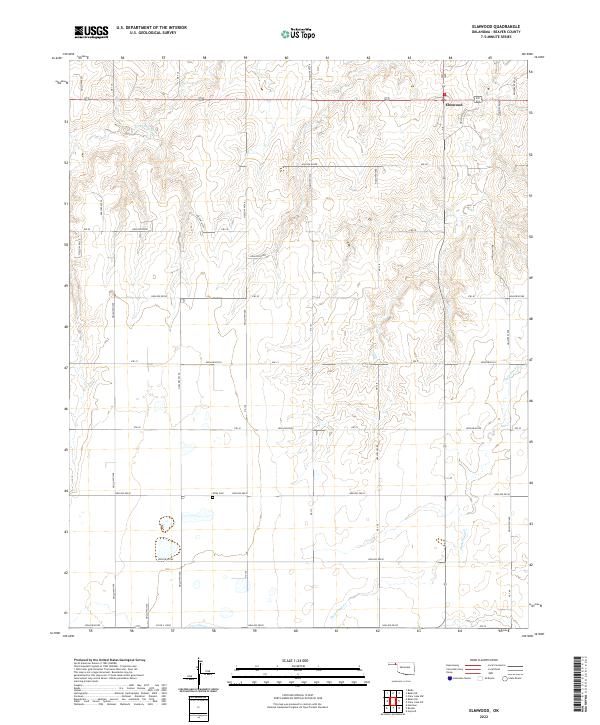 2022 Elmwood2022 Print · USGSSettlement in the Oklahoma Panhandle remains centered around the community of Elmwood in this recent survey of Beaver County. Researchers can locate family landmarks like Kirby Cem and trace the complex drainage patterns of Duck Pond Cr and its many named hollows.
 - 2022 Map of Waka, 2022 Print
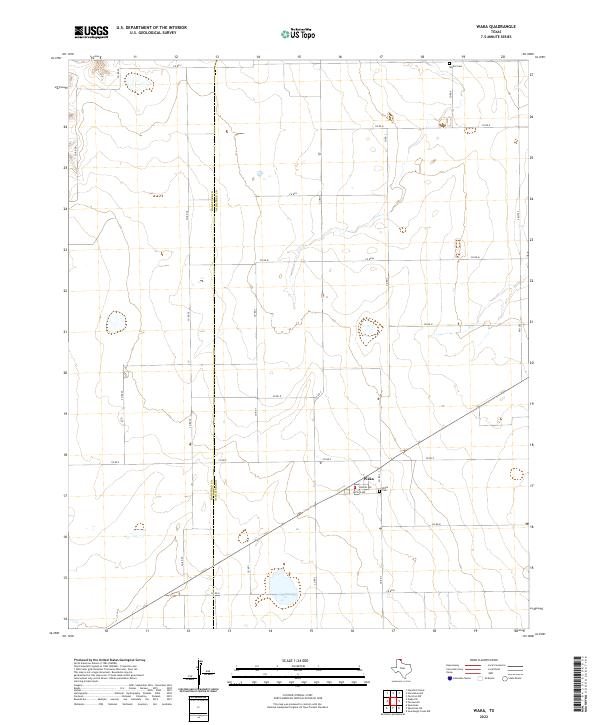 2022 Waka2022 Print · USGSTexas Panhandle ranching and farming lands are captured here in the early 2020s along the Hansford and Ochiltree county line. Researchers can locate the community of Waka, its central streets like Butler Ave, and rural burial sites including Bethel Cem.
 - 2022 Map of Spearman NE, 2022 Print
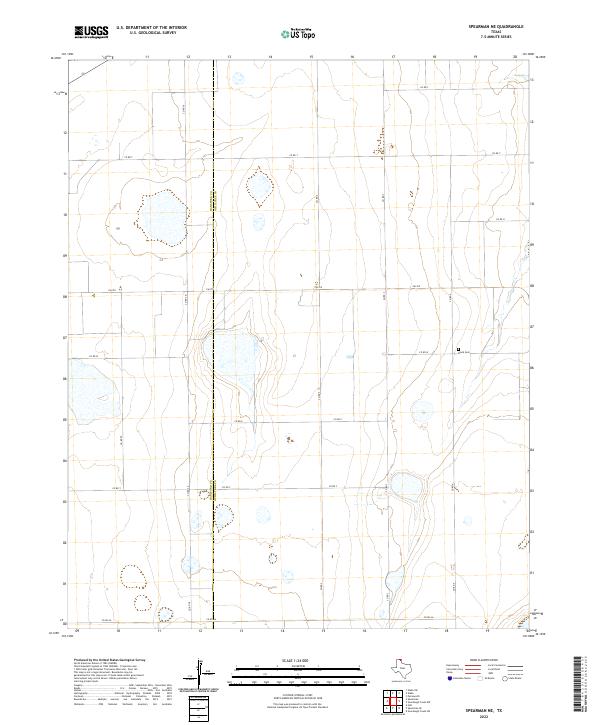 2022 Spearman NE2022 Print · USGSThe northern Panhandle plains come into focus in the early twenty-first century, showing the boundary between Hansford Co and Ochiltree Co. Researchers can locate the Black Cem and trace rural section lines along FM 759 or CO RD W.
 - 2022 Map of Horseshoe Hill, 2022 Print
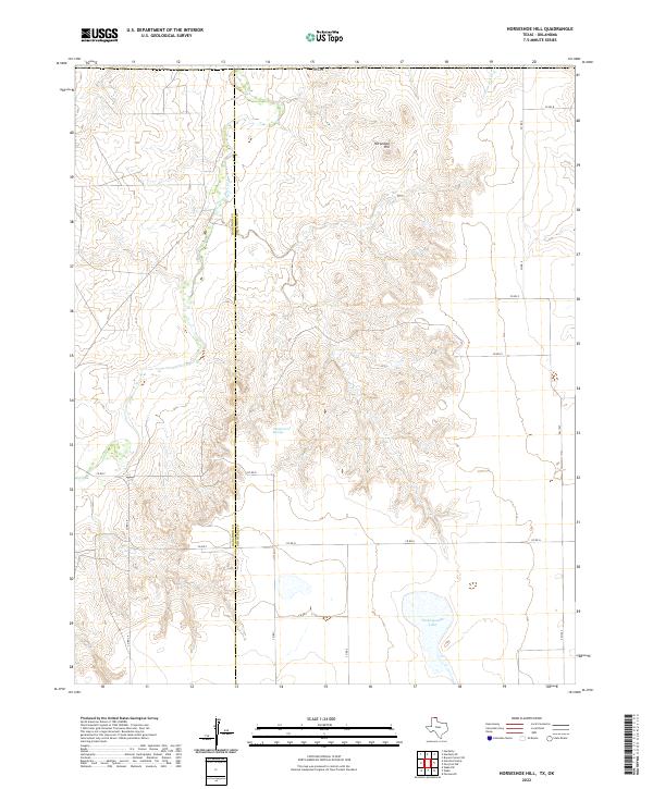 2022 Horseshoe Hill2022 Print · USGSThe northern Panhandle landscape along the Hansford Co Ochiltree Co line is documented in this modern survey. Researchers can trace the drainage of Palo Duro Cr and locate water sources like Wampus Cat Springs and Peckenpaugh Lake.
 - 2022 Map of Spearman SE, 2022 Print
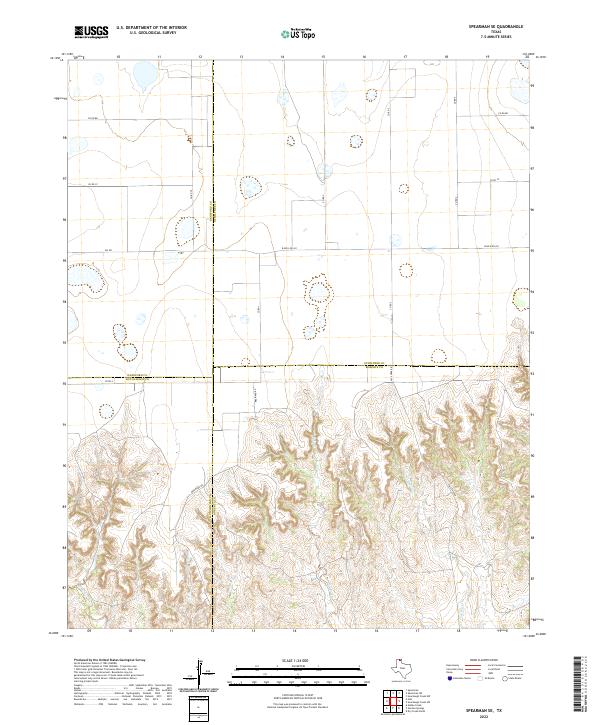 2022 Spearman SE2022 Print · USGSThe Texas Panhandle high plains meet the canyon breaks of the Canadian River watershed in this 2022 study. Genealogists and land researchers can trace property lines along Brainard Rd and the winding course of Pats Creek near the Ochiltree and Roberts county line.
 - 2022 Map of Perryton NW, 2022 Print
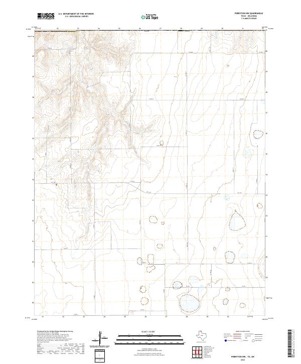 2022 Perryton NW2022 Print · USGSOchiltree County is captured in this modern survey of the high Texas Panhandle, showing the systematic grid of ranch roads and agricultural lands. Researchers can trace land boundaries and local infrastructure along FM 1267 and the drainages of Sand Cr.
 - 2022 Map of Perryton, 2022 Print
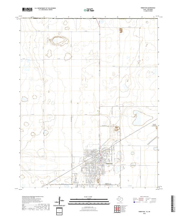 2022 Perryton2022 Print · USGSPerryton serves as a key agricultural and civic hub in the Texas Panhandle during the early twenty-first century. Researchers can trace the development of the city grid around the Ochiltree County Courthouse and the Perryton Ochiltree County Airport.
 - 2022 Map of Perryton SE, 2022 Print
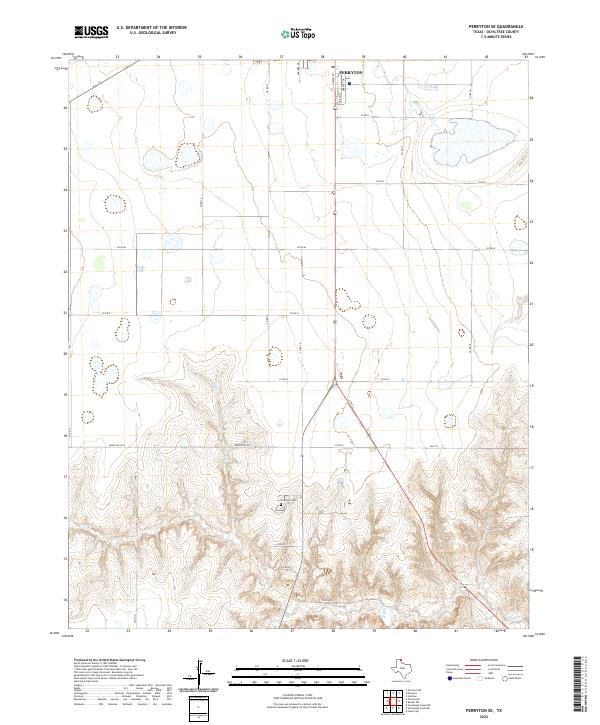 2022 Perryton SE2022 Print · USGSOchiltree County is shown here in the contemporary era, where the southern expansion of the county seat meets the breaks of the High Plains. Genealogists and local historians can locate Ochiltree Cem and trace the drainage of Wolf Cr south of Perryton.
 - 2022 Map of Booker SE, 2022 Print
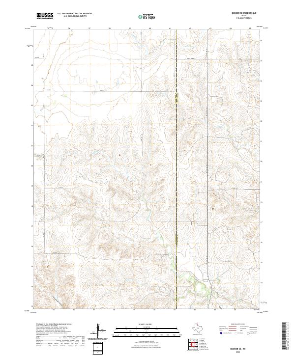 2022 Booker SE2022 Print · USGSThe High Plains of the Texas Panhandle are captured here in the early twenty-first century, showing the rugged breaks and ranchland along the Ochiltree Co Lipscomb Co line. Trace the winding paths of Kiowa Cr and Cottonwood Arroyo alongside rural routes like Uncle Sam Rd.
 - 2022 Map of Sourdough Creek NW, 2022 Print
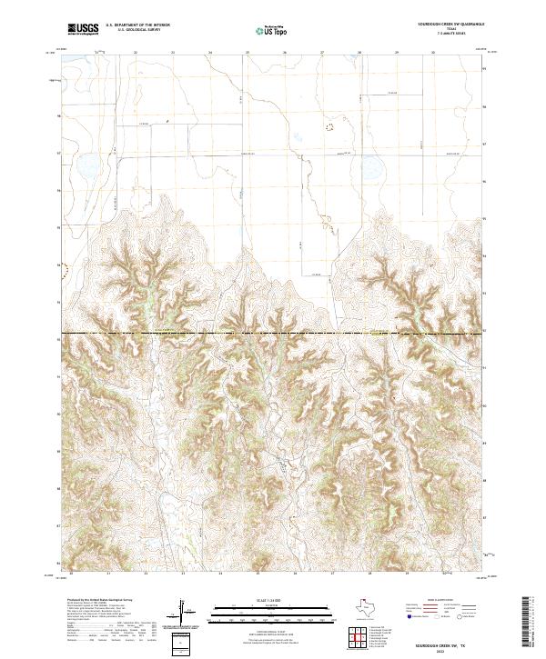
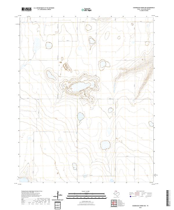 2022 Sourdough Creek NW2022 Print · USGSOchiltree County ranch lands and high plains draws are documented here in the early twenty-first century. Researchers can trace the path of Middle Prong Wolf Cr and follow the rural road network including Fm 759 and Ranch Rd 376.
 - 2022 Map of Sourdough Creek NE, 2022 Print
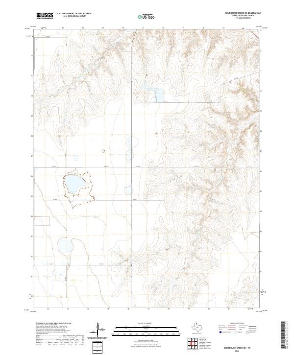 2022 Sourdough Creek NE2022 Print · USGSOchiltree County ranch lands are documented here in the early twenty-first century as the Wolf Creek drainage system shapes the local topography. Researchers can trace the layout of cattle industry infrastructure near Perryton Feeders Lake Number 2 and the paths of South Wolf Creek and Middle Prong Wolf Creek.
 - 2022 Map of Sourdough Creek, 2022 Print
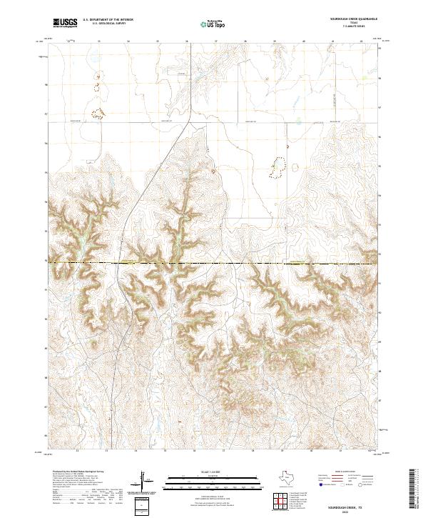 2022 Sourdough Creek2022 Print · USGSOchiltree and Roberts counties are captured here in the contemporary era, showing a landscape of deep-cut drainages and expansive ranch lands. Researchers can trace the courses of Sourdough Creek and Picketts Ranch Creek alongside Leslie Ranch Road.
 - 2022 Map of Pickett Ranch Creek, 2022 Print
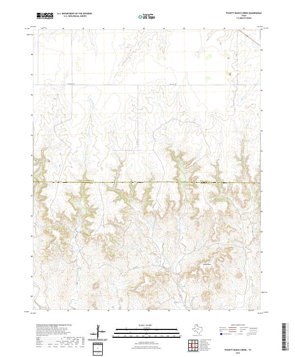 2022 Pickett Ranch Creek2022 Print · USGSThe High Plains of the Texas Panhandle are captured here in the early twenty-first century, showing the rural ranching landscape along the Ochiltree-Roberts county line. Researchers can trace the winding paths of Pickett Ranch Creek and Hackberry Creek as they cut through the terrain near Tandy Mesa.
 - 2022 Map of Barton Creek, 2022 Print
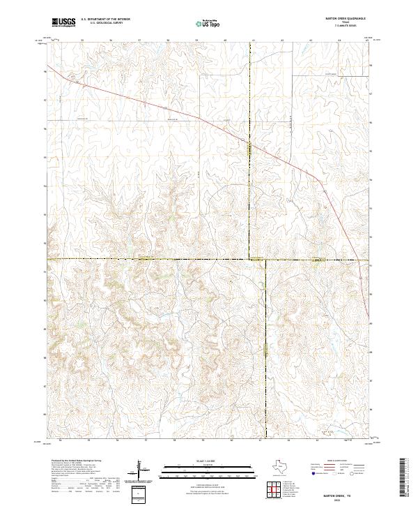 2022 Barton Creek2022 Print · USGSThe High Plains of the Texas Panhandle are captured here in the early twenty-first century, where four county lines converge. Researchers can trace rural road networks like Ranch Rd 281 and the drainage of Barton Creek near Locust Grove.
 - 2022 Map of Lake Fryer, 2022 Print
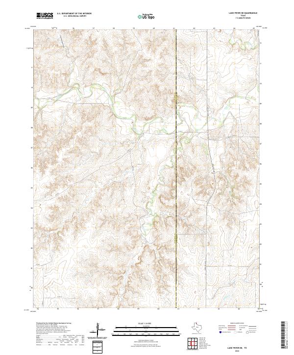
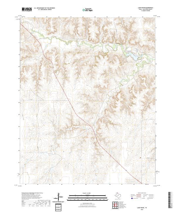 2022 Lake Fryer2022 Print · USGSOchiltree County in the early twenty-first century is defined by the canyon-like draws cutting through the high Texas plains. Researchers can trace the drainage patterns of Wolf Creek and Northup Cr as they converge near Lake Fryer.
 - 2022 Map of Sourdough Creek SW, 2022 Print
 2022 Sourdough Creek SW2022 Print · USGSThe rugged canyonlands of the Texas Panhandle are documented here during the early twenty-first century as the high plains descend into complex breaks. Local history researchers can trace ranching access roads like Mcgarraugh Rd and drainage systems including W Dugout Cr.
 - 2022 Map of Lake Fryer NE, 2022 Print
 2022 Lake Fryer NE2022 Print · USGSOchiltree and Lipscomb counties meet in this 2022 survey of the rural Panhandle ranchlands. Local researchers can trace the dendritic drainage of Wolf Cr and Gibson Cr alongside the path of Ranch RD 1265.
 - 2022 Map of Booker SW, 2022 Print
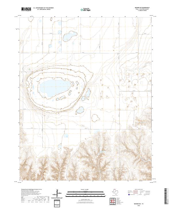 2022 Booker SW2022 Print · USGSThe High Plains of the Texas Panhandle appear here in the early twenty-first century, defined by seasonal water and section-line roads. Researchers can trace the drainage of Cottonwood Arroyo or locate water features like Wheatheart Feeders Lake.
 - 2022 Map of Booker, 2022 Print
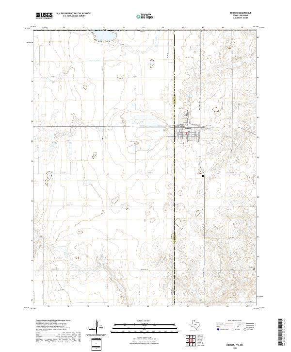 2022 Booker2022 Print · USGSThe northern Panhandle community of Booker is shown here in the early twenty-first century, positioned on the Texas and Oklahoma border. Genealogists and local historians can trace the town’s residential grid and locate nearby burial sites like Heart Cem and Kiowa Cem.
 - 2022 Map of Farnsworth, 2022 Print
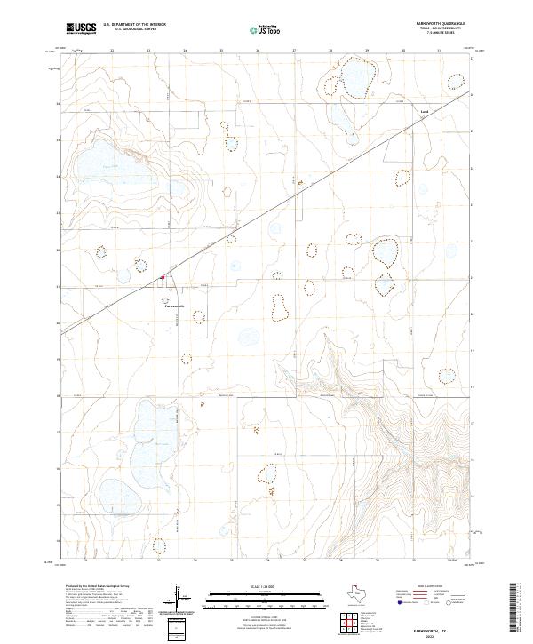 2022 Farnsworth2022 Print · USGSOchiltree County ranching and farming communities are documented here during the early 2020s. Researchers can trace rural development near the settlements of Farnsworth and Lord, or locate regional water sources like Deer Lake and Truax Lake.
 - 2022 Map of Huntoon, 2022 Print
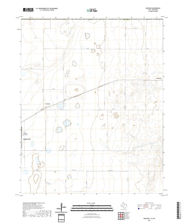 2022 Huntoon2022 Print · USGSThe High Plains of the Texas Panhandle are captured here in the early 2020s, centered on the ranching and agricultural lands of Ochiltree County. Genealogists and local historians can trace the road network around Perryton, from the remote grain stops of Huntoon and Twichell to the banks of Kiowa Cr.
End of results
Showing maps 1-21 of 21
Top cities of Ochiltree County
Frequently asked questions
- What are the different types of historical maps available for Ochiltree County?
- What is the oldest map of Ochiltree County?
- Where can I purchase historical maps of Ochiltree County for my home or office?
- Where can I download high-res historical maps of Ochiltree County?
- Are there historical topographic maps available for Ochiltree County?
- Is there historical aerial imagery available for Ochiltree County?
- Where are historical maps of Ochiltree County sourced from?