Old Maps of Knoblaw, Texas for Genealogy
Trace your family roots with 9 historic maps of Knoblaw. These high-res maps reveal old neighborhoods, homesites, landmarks, and streets — helping you uncover where your ancestors lived and how the area evolved over time.
- Explore historic neighborhoods: Identify where your relatives may have lived in the 1800s or 1900s.
- Compare maps over time: Trace the changes in streets, buildings, and landmarks for multi-generational research.
- Perfect for genealogy & ancestry research: Used by family historians and researchers to map out lineage and migration.
These maps are an incredible resource for exploring your personal connection to Knoblaw's past.
Knoblaw, TX maps
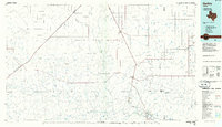
(9)- 1954 Map of Tucumcari, 1965 Print
 1954 Tucumcari1965 Print · USGSThe high plains along the New Mexico and Texas border come alive in this mid-century survey, just as the regional highway network was maturing. Trace the historic route of U.S. 66 through Glenrio and San Jon or locate remote rail sidings like Rehm Station and Obar.2 unique versions available
 - 1958 Map of Tucumcari
 1958 Tucumcari1958 Print · USGSEastern New Mexico and the Texas Panhandle meet in this mid-century survey of the high plains ranching and rail corridor. Researchers can trace the path of Mother Road travelers through Tucumcari and Glenrio or locate remote rail stops like Nara Visa Station and Hartley Station.
 - 1971 Map of Knoblaw, 1973 Print
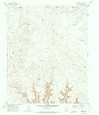 1971 Knoblaw1973 Print · USGSThe high plains of the Texas Panhandle were a landscape of managed water and vast ranches in the early 1970s. Researchers can trace land use through a network of named sites like Thousand Dollar Dam, Chisum Spring, and the Trujillo Well.2 unique versions available
 - 1985 Map of Hartley, 1986 Print
 1985 Hartley1986 Print · USGSThe Texas Panhandle in the mid-eighties was a land of sprawling cattle ranches and emerging energy fields linked by deep-rooted rail lines. Genealogists and historians can trace the paths of the Burlington Northern through Channing or locate riverside landmarks like Tascosa and Boys Ranch.2 unique versions available
 - 2010 Map of Knoblaw, 2010 Print
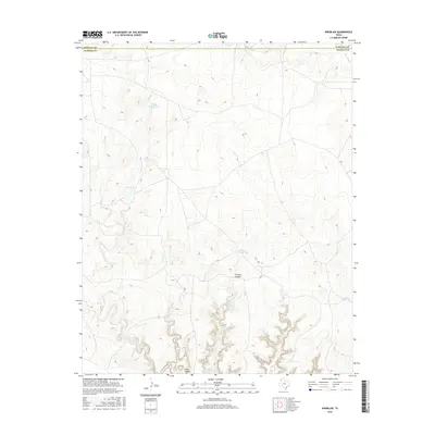
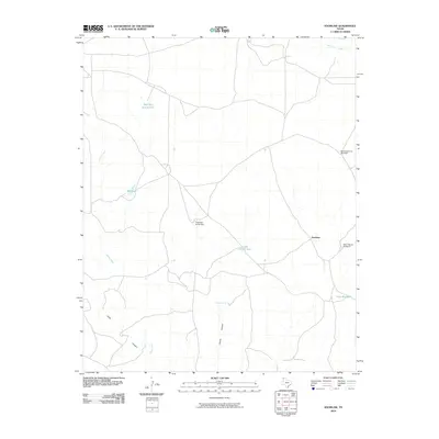 2010 Knoblaw2010 Print · USGSCovers Knoblaw, including Hartley County, Oldham County, and other nearby areas
 - 2012 Map of Knoblaw, 2012 Print
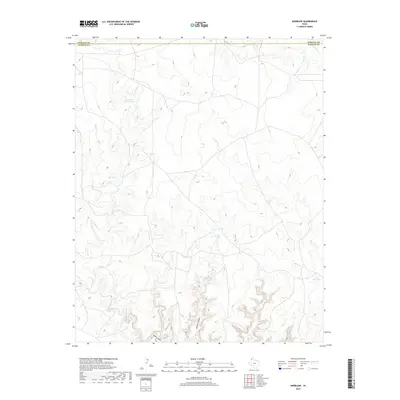
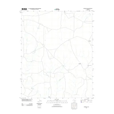 2012 Knoblaw2012 Print · USGSCovers Knoblaw, including Hartley County, Oldham County, and other nearby areas
 - 2016 Map of Knoblaw, 2016 Print
 2016 Knoblaw2016 Print · USGSCovers Knoblaw, including Hartley County, Oldham County, and other nearby areas
 - 2019 Map of Knoblaw, 2019 Print
 2019 Knoblaw2019 Print · USGSCovers Knoblaw, including Hartley County, Oldham County, and other nearby areas
 - 2022 Map of Knoblaw, 2022 Print
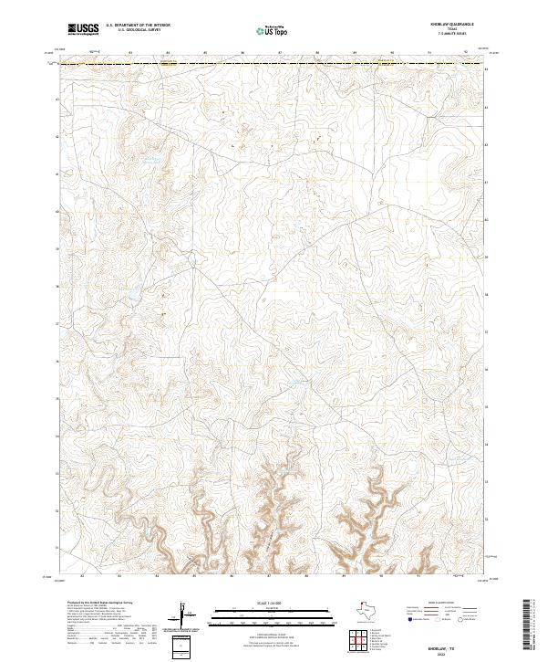 2022 Knoblaw2022 Print · USGSThe High Plains borderlands of Hartley and Oldham counties are captured here in the early twenty-first century. Researchers can trace the essential water-security network of the Panhandle through sites like Chisum Spring, Lake Windmill, and Red Tank.
End of results
Showing maps 1-9 of 9
Frequently asked questions
- What are the different types of historical maps available for Knoblaw?
- What is the oldest map of Knoblaw?
- Where can I purchase historical maps of Knoblaw for my home or office?
- Where can I download high-res historical maps of Knoblaw?
- Are there historical topographic maps available for Knoblaw?
- Is there historical aerial imagery available for Knoblaw?
- Where are historical maps of Knoblaw sourced from?