Old Maps of Bridge City, Texas for Metal Detecting
Plan your next treasure hunt with 36 historic maps of Bridge City. Find old homesites, ghost towns, trails, and gathering spots that may be lost to time — perfect for identifying promising metal detecting locations.
- Locate forgotten sites: Uncover places like long-lost settlements, abandoned rail lines, or gathering spots.
- Plan better hunts: Use map overlays combined with LiDAR or satellite views to narrow in on historically rich areas.
- Made for detectorists: Thousands of hobbyists use these maps to discover relics, coins, and hidden history.
Use these historic maps to boost your research and find new opportunities beneath the surface of Bridge City.
Bridge City, TX maps
(36)- 1926 Map of Terry
 1926 Terry1926 Print · USGSCoastal Orange County was a hub of energy and rail transit in the mid-twenties, centered on the Neches River wetlands. Researchers can trace early infrastructure like the Southern Pacific tracks and the Mansfield Gulf Ferry Road.
 - 1932 Map of Port Arthur NE
 1932 Port Arthur NE1932 Print · USGSThe Louisiana coast near the Texas border comes alive in this early Depression-era survey of the coastal marshes. Local historians can trace the foundations of Rosenthal-Brown Camp and the reach of the Willow Bayou Canal along the edges of Sabine Lake.
 - 1943 Map of West of Greens Bayou, 1952 Print
 1943 West of Greens Bayou1952 Print · USGSThe Gulf Coast at the height of the Second World War was a vital corridor of shipping and natural marshlands. Researchers can trace the industrial waterway through Sabine Lake and find remote family-named landmarks like Stewts Island and Marceaux Island.
 - 1943 Map of Orangefield, 1953 Print
 1943 Orangefield1953 Print · USGSSoutheastern Texas in the early 1940s reveals a landscape of industrial expansion and historic river crossings. Researchers can trace family sites like Jett Cemetery or locate early infrastructure such as oil wells and the Old Mansfield Ferry Rd.
 - 1943 Map of Terry, 1953 Print
 1943 Terry1953 Print · USGSCoastal Texas during the war years reveals a landscape of industrial waterways and remote rail outposts along the Orange and Jefferson County line. Researchers can trace the Southern Pacific line through Terry and locate historic sites like Wallace Cem and Evergreen Ch.
 - 1946 Map of Port Arthur NE
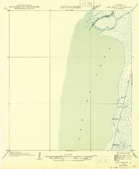 1946 Port Arthur NE1946 Print · USGSCoastal Cameron Parish at the state border shows a landscape of tidal marshes and seasonal outposts in the mid-1940s. Genealogists and historians can trace old camps and waterways like Rosenthal-Brown Camp, Willow Camp, and Pines Ridge.
 - 1952 Map of Lake Charles
 1952 Lake Charles1952 Print · USGSSouthwest Louisiana is captured here in the mid-fifties, showing a landscape defined by the rise of the petrochemical industry and deep-water navigation. Researchers can trace family roots through numerous small-town settlements and oil developments like Nibletts Bluff, the Lockport Oil Field, and Starks.
 - 1954 Map of Port Arthur
 1954 Port Arthur1954 Print · USGSThe Texas and Louisiana coastlines meet here in the mid-fifties, showing the industrial rise of Port Arthur alongside vast wildlife preserves. Researchers can trace remote coastal settlements and infrastructure like Pecan Island, the Sabine Pass Lighthouse, and the North Island School.
 - 1954 Map of Lake Charles, 1964 Print
 1954 Lake Charles1964 Print · USGSSouthwest Louisiana in the mid-fifties is defined by its massive petroleum industry and its complex network of bayous and rail lines. Researchers can trace the development of the Sulphur Mines Oil Field or locate historic settlements like Longville and De Quincy.3 unique versions available
 - 1956 Map of Port Arthur, 1965 Print
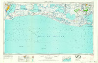 1956 Port Arthur1965 Print · USGSThe Texas and Louisiana coastlines meet here in the mid-fifties, showing a landscape of sprawling marshes and growing refinery towns. Genealogists and historians can trace ridge settlements like Grand Cheniere or find the Sabine Pass Lighthouse and Pecan Island.3 unique versions available
 - 1957 Map of Orangefield, 1958 Print
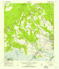 1957 Orangefield1958 Print · USGSSoutheast Texas at the peak of the mid-century oil boom is detailed here, showing the intricate intersection of rail lines and bayous. Genealogists can locate family landmarks such as Linscomb Cem, Winfree Ch, and the settlement of Mauriceville.2 unique versions available
 - 1957 Map of Terry, 1958 Print
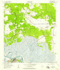 1957 Terry1958 Print · USGSThe Texas Gulf Coast comes into focus in the 1950s as a landscape of marshy bayous, rail-side hamlets, and rising oil industry. Researchers can trace family history through numerous small burial grounds like Thomas Cem or locate the old landing at Bessie Heights near the Neches River.6 unique versions available
 - 1957 Map of West of Greens Bayou, 1958 Print
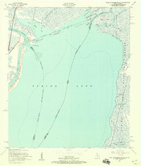 1957 West of Greens Bayou1958 Print · USGSThe maritime borderlands of Southeast Texas and Louisiana appear in the late fifties as a vast network of islands and industrial waterways. Researchers can trace the original paths of the Sabine River and Neches River around landmarks like Sydney Island and the marshes of the Sabine National Wildlife Refuge.4 unique versions available
 - 1957 Map of Port Arthur, 1958 Print
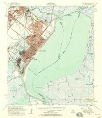 1957 Port Arthur1958 Print · USGSCoastal Texas and Louisiana are mapped during a period of rapid industrial expansion and shoreline change. Genealogists and local historians can trace the mid-century footprints of Groves, locate family plots at Johnson Cem, or explore the old docks at Johnsons Bayou Landing.2 unique versions available
 - 1957 Map of Orangefield, 1958 Print
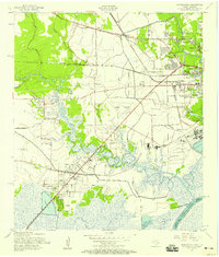 1957 Orangefield1958 Print · USGSThe coastal marshlands and oil-country settlements of Orange County are captured here in the late fifties as Bridge City and Orangefield began to expand. Genealogists can locate numerous family landmarks, including Winfree Ch, Jett Cem, and the old McLewis Sch.7 unique versions available
 - 1958 Map of Port Arthur
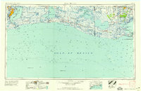 1958 Port Arthur1958 Print · USGSThe Texas and Louisiana coastlines meet in the late fifties at the busy industrial port of Port Arthur. Historians and genealogists can trace the early rail networks of the Southern Pacific and locate coastal settlements like Cameron, Pecan Island, and Abbeville.
 - 1959 Map of Port Arthur
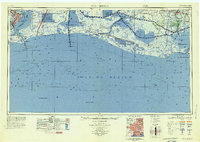 1959 Port Arthur1959 Print · USGSThe Texas and Louisiana coastlines meet in this late-fifties study of a landscape defined by industry and wildlife preserves. Trace the Intracoastal Waterway past Pecan Island and Abbeville, or locate the shipping channels at Sabine Pass.
 - 1973 Map of Port Arthur, 1974 Print
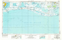 1973 Port Arthur1974 Print · USGSThe Texas-Louisiana borderlands in the early seventies reveal an intricate landscape of coastal marshes and heavy industry. Trace the growth of Port Arthur, the extent of the oil and gas fields, and old ridge settlements like Pecan Island.
 - 1983 Map of Port Arthur
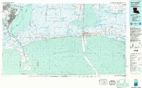 1983 Port Arthur1983 Print · USGSThe Texas and Louisiana coastline comes into sharp focus during the early 1980s, showcasing the industrial hubs of the Gulf. Trace the development of Port Arthur and Port Neches or locate specific facilities like St Gabriel Hospital and the West Hackberry Oil Field.
 - 1986 Map of Lake Charles
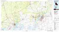 1986 Lake Charles1986 Print · USGSThe Louisiana-Texas borderlands are captured here in the mid-1980s, showcasing the industrial growth of the Lake Charles region and its rail-linked satellite towns. Trace the evolution of coastal settlements and family landmarks from Sulphur to the Highland Cem.2 unique versions available
 - 1993 Map of West of Greens Bayou
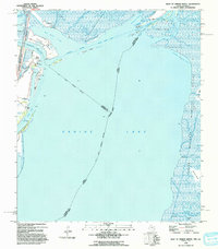 1993 West of Greens Bayou1993 Print · USGSCoastal Texas and Louisiana are mapped here in the early nineties, showing the industrial waterways and marshlands where the state borders meet. Researchers can trace the dredged paths of the Intracoastal Waterway past Humble Island and into the Sabine National Wildlife Refuge.
 - 2010 Map of Terry, 2010 Print
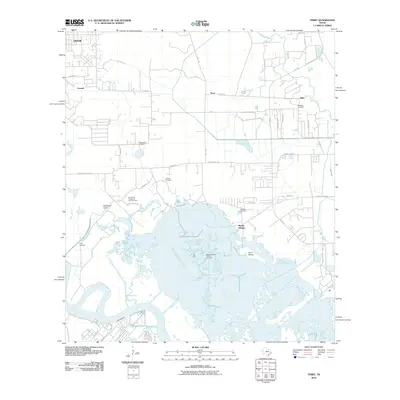 2010 Terry2010 Print · USGSThe Jefferson County coast at the start of the decade shows the intersection of industry and the bayou. Researchers can trace family history at Adcock Cemetery and Floyd Cemetery or locate the historic settlements of Oilla and Connell.
 - 2010 Map of Orangefield, 2010 Print
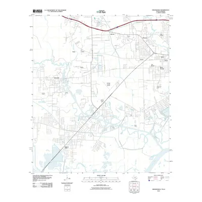 2010 Orangefield2010 Print · USGSSoutheast Texas at the turn of the decade shows a landscape where bayous and industry meet growing coastal communities. Genealogists and historians can locate numerous burial sites like Granger Cemetery and trace the paths of Cow Bayou and the Shell Canal.
 - 2010 Map of West of Greens Bayou, 2010 Print
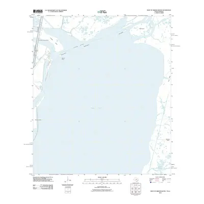 2010 West of Greens Bayou2010 Print · USGSThe Texas-Louisiana borderlands at the start of the 2010s are defined by the meeting of the Neches and Sabine rivers. Researchers can trace maritime infrastructure and coastal landforms from the Port Arthur-Orange Bridge to Marceaux Island and Rainbow Marina.
 - 2012 Map of Orangefield, 2012 Print
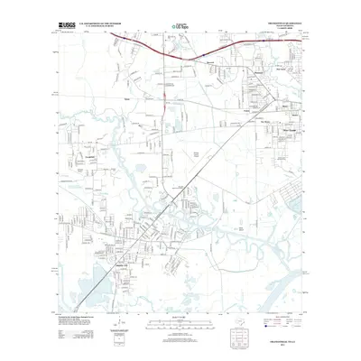 2012 Orangefield2012 Print · USGSCoastal Texas industry and marshland waterways meet in this early 21st-century study of the Bridge City and Orangefield area. Genealogists and local historians can trace family plots at Granger Cem and Dorman Cem or explore the aviation footprints of Chesson Airport.
Showing maps 1-25 of 36
Top cities near Bridge City
- Beaumont historical maps
- Port Arthur historical maps
- Orange historical maps
- Nederland historical maps
- Groves historical maps
- Port Neches historical maps
See more
Frequently asked questions
- What are the different types of historical maps available for Bridge City?
- What is the oldest map of Bridge City?
- Where can I purchase historical maps of Bridge City for my home or office?
- Where can I download high-res historical maps of Bridge City?
- Are there historical topographic maps available for Bridge City?
- Is there historical aerial imagery available for Bridge City?
- Where are historical maps of Bridge City sourced from?