Old Maps of Strawn, Texas for Genealogy
Trace your family roots with 19 historic maps of Strawn. These high-res maps reveal old neighborhoods, homesites, landmarks, and streets — helping you uncover where your ancestors lived and how the area evolved over time.
- Explore historic neighborhoods: Identify where your relatives may have lived in the 1800s or 1900s.
- Compare maps over time: Trace the changes in streets, buildings, and landmarks for multi-generational research.
- Perfect for genealogy & ancestry research: Used by family historians and researchers to map out lineage and migration.
These maps are an incredible resource for exploring your personal connection to Strawn's past.
Strawn, TX maps
(19)- 1890 Map of Breckenridge
 1890 Breckenridge1890 Print · USGSStephens County was a landscape of budding settlements and cattle country in the late nineteenth century. Genealogists can trace early homesteads near Breckenridge or follow the Texas and Pacific R.R. past peaks like Steal Easy Mt. and Gunsight Mt..6 unique versions available
 - 1891 Map of Palo Pinto
 1891 Palo Pinto1891 Print · USGSNorth Texas in the late nineteenth century was a landscape of winding river bends and emerging coal towns. Genealogists and historians can trace early river crossings at Oaks Ferry, the path of the Texas and Pacific Railroad, and the Coal Mines at Coalville.7 unique versions available
 - 1918 Map of Palo Pinto
 1918 Palo Pinto1918 Print · USGSPalo Pinto County and the Brazos River valley appear here in the final year of the Great War, showing a landscape shaped by coal and steam. Genealogists and historians can locate defunct river crossings like Oaks Ferry, early rural education at Marsden School, and the extensive Coal Mines that once powered the regional economy.
 - 1954 Map of Abilene, 1966 Print
 1954 Abilene1966 Print · USGSThe Texas Big Country comes into focus in the mid-1950s as petroleum and new water projects reshape the landscape. Local historians can trace the Butterfield Trail, find the Fort Phantom Hill Ruins, and locate numerous small communities along the Texas & Pacific line.2 unique versions available
 - 1958 Map of Abilene
 1958 Abilene1958 Print · USGSMid-century West Texas comes alive in this survey of the Abilene and Stephenville region during a period of steady oil expansion and military growth. Genealogists and local historians can trace the paths of the Texas & Pacific RR through historic towns, locate the Fort Griffin Ruins, and find smaller settlements like Desdemona and Lueders.
 - 1959 Map of Gordon, 1960 Print
 1959 Gordon1960 Print · USGSThe Palo Pinto hills in the late fifties show a landscape defined by the Texas and Pacific railroad and active coal and oil extraction. Local researchers can trace the locations of family burial sites like Thurber Cem and landmarks like Metcalf Gap.2 unique versions available
 - 1967 Map of Strawn West, 1971 Print
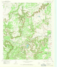 1967 Strawn West1971 Print · USGSIn the late 1960s, the Palo Pinto Mountains of North Central Texas supported a landscape of petroleum extraction and rail transport. Researchers can trace the legacy of Strawn along the Texas and Pacific railroad and locate the Copeland Ranch Landing Strip.
 - 1984 Map of Strawn East
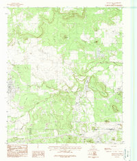 1984 Strawn East1984 Print · USGSThe Texas coal country near the Palo Pinto and Erath county lines comes into focus in the early eighties. Genealogists and historians can trace the foundations of Strawn, Mingus, and the industrial sites at Coal Mine Mountain.
 - 1985 Map of Mineral Wells
 1985 Mineral Wells1985 Print · USGSNorth-central Texas in the mid-eighties shows a landscape of deep river valleys and massive reservoirs. Genealogists and historians can trace the Missouri Pacific rail line and locate rural settlements like Thurber, Necessity, and Palo Pinto.2 unique versions available
 - 2010 Map of Strawn West, 2010 Print
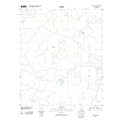 2010 Strawn West2010 Print · USGSThe western outskirts of Strawn, Texas, are captured here in the early twenty-first century, showing a landscape defined by ranch roads and water management. Local historians can trace family-named routes and landmarks like Evensville Peak, Tucker Lake, and Hohhertz Rd.
 - 2010 Map of Strawn East, 2010 Print
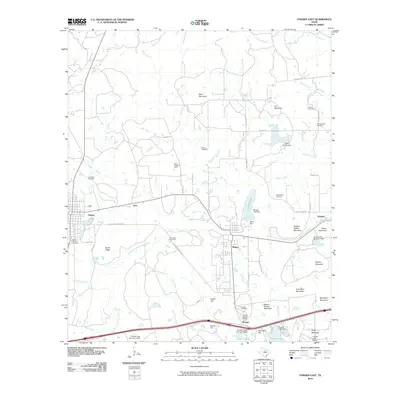 2010 Strawn East2010 Print · USGSThe industrial and social heritage of Palo Pinto County is preserved in this map of the corridor between Strawn and Gordon. Trace the legacy of company towns and family history through the Thurber Historic District, Boles Rector Oil Field, and McSpadden Cemetery.
 - 2012 Map of Strawn West, 2012 Print
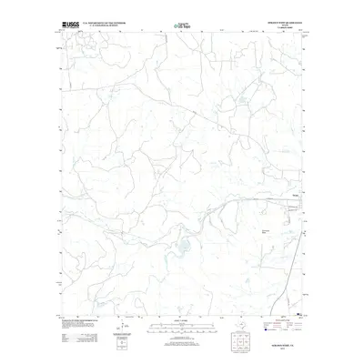 2012 Strawn West2012 Print · USGSThe western reaches of Strawn are captured here in the early twenty-first century, where the town grid meets the Palo Pinto ranchlands. Researchers can trace the drainage of Bills Cr and Cottonwood Cr or locate landmarks like Evensville Peak and Tucker Lake.
 - 2012 Map of Strawn East, 2012 Print
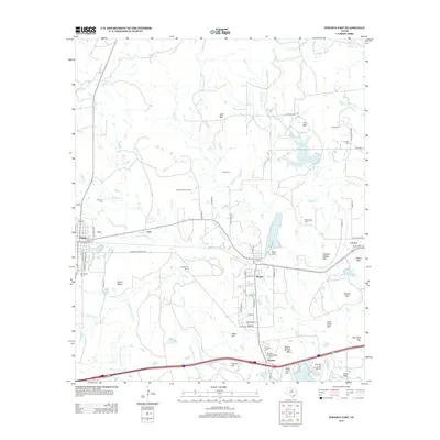 2012 Strawn East2012 Print · USGSStrawn and Thurber appear here during the early twenty-first century, showing a landscape shaped by coal mining and oil production. Researchers can trace historic company town roots through the Thurber Historic District and locate family sites at Hutchins Cem or McSpadden Cem.
 - 2016 Map of Strawn West, 2016 Print
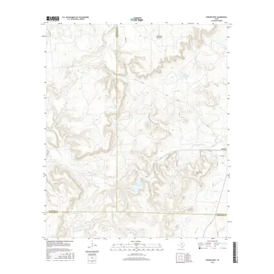 2016 Strawn West2016 Print · USGSThe rugged western edge of Palo Pinto County comes into focus in the mid-2010s, showing the high ridges and deep drainages near the tri-county line. Trace family land or local landmarks like Evensville Peak, Tucker Lake, and the outskirts of Strawn.
 - 2016 Map of Strawn East, 2016 Print
 2016 Strawn East2016 Print · USGSThe towns of Strawn, Mingus, and Thurber are documented here during a period of modern rural transition along the Palo Pinto county line. Genealogists and local historians can locate several remote burial sites like Thurber Cem and Hutchins Cem or trace industry-named landmarks like Coal Mine Mtn.
 - 2019 Map of Strawn West, 2019 Print
 2019 Strawn West2019 Print · USGSThe northern reaches of the Texas Hill Country meet the West Texas plains here as the decade ends. Researchers can trace the topography of the Palo Pinto Mountains and locate landmarks like Evensville Peak and Tucker Lake.
 - 2019 Map of Strawn East, 2019 Print
 2019 Strawn East2019 Print · USGSThe West Texas communities of Strawn and Thurber are documented here during a period of modern development over old industrial grounds. Researchers can trace family history through numerous burial sites like Mount Marion Cem and Guest Cem, or locate landmarks like Lake Mingus.
 - 2022 Map of Strawn West, 2022 Print
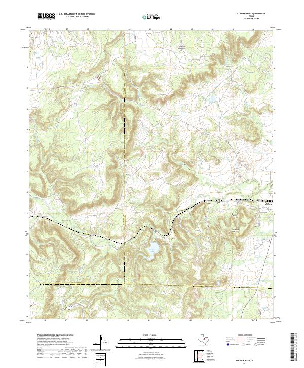 2022 Strawn West2022 Print · USGSModern West Texas terrain comes alive in this survey of the Palo Pinto highlands at the meeting point of three counties. Trace local landmarks like Evensville Peak and Tucker Lake, or follow the drainages of Bills Cr and Cottonwood Cr near Strawn.
 - 2022 Map of Strawn East, 2022 Print
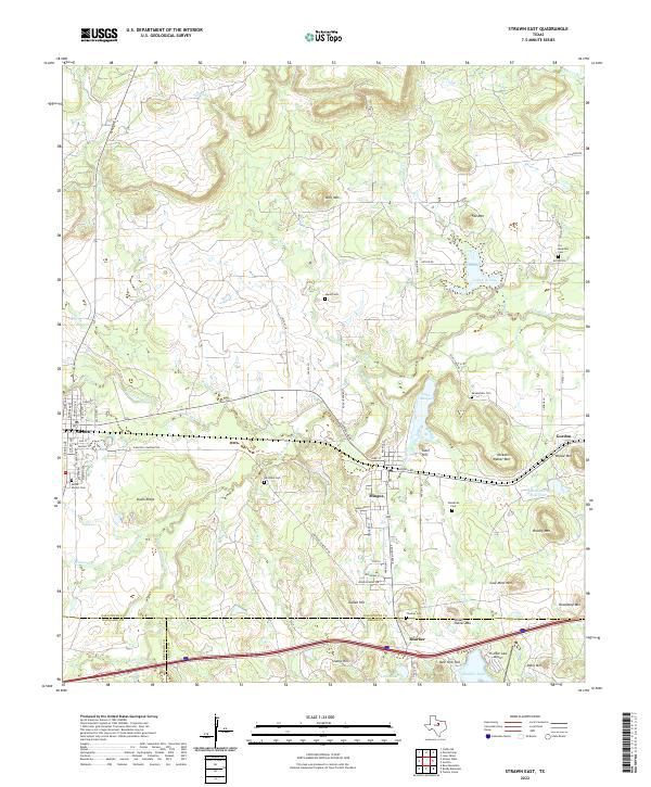 2022 Strawn East2022 Print · USGSThe rail-corridor towns of Strawn and Mingus are documented here in the contemporary era, highlighting a landscape rich in industrial and family history. Researchers can locate numerous burial grounds like McSpadden Cem or trace terrain features like Steam Shovel Mtn and the Union Pacific Railroad.
End of results
Showing maps 1-19 of 19
Top cities near Strawn
- Ranger historical maps
- Gordon historical maps
- Palo Pinto historical maps
- Mingus historical maps
- Thurber historical maps
Frequently asked questions
- What are the different types of historical maps available for Strawn?
- What is the oldest map of Strawn?
- Where can I purchase historical maps of Strawn for my home or office?
- Where can I download high-res historical maps of Strawn?
- Are there historical topographic maps available for Strawn?
- Is there historical aerial imagery available for Strawn?
- Where are historical maps of Strawn sourced from?