Old Maps of Iraan, Texas for Academic Research
Study the evolution of Iraan with 10 high-resolution historic maps. Whether you're teaching, researching, or modeling changes in land use, these maps provide essential visual documentation of urban, environmental, and geographic change.
- Analyze long-term change: Track patterns in development, transportation, and natural features.
- Ideal for environmental or urban studies: Support academic projects with primary historical map data.
- Use in the classroom or lab: Educators and researchers rely on these maps to bring historical context to life.
These maps are a powerful tool for teaching, research, and visualizing how Iraan has changed over the decades.
Iraan, TX maps
(10)- 1929 Map of Sheffield
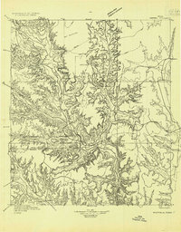 1929 Sheffield1929 Print · USGSWest Texas ranching and the early oil boom meet along the Pecos River in the late twenties. Researchers can trace the Old Spanish Trail through Sheffield or locate historical sites like Fort Lancaster and the Yates Oil Field.
 - 1954 Map of Sonora, 1965 Print
 1954 Sonora1965 Print · USGSThe Edwards Plateau and West Texas ranching country come alive in this mid-century survey of the canyons and plateaus. Genealogists and historians can trace the remote settlements of Pandale and Loma Alta or follow the path of the Panhandle and Santa Fe RR.2 unique versions available
 - 1958 Map of Sonora
 1958 Sonora1958 Print · USGSThe Edwards Plateau and Trans-Pecos region come alive in the late fifties, showing a landscape of remote ranchlands and historic frontier outposts. Trace the legacy of Fort Lancaster Ruins, the limestone depths of Devils Sinkhole Cavern, and the path of the Pecos River.
 - 1967 Map of Iraan, 1970 Print
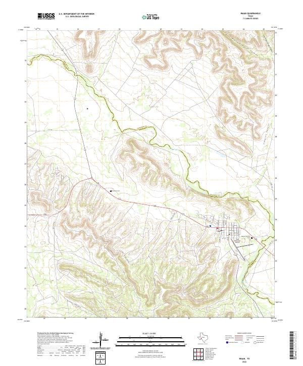
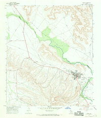 1967 Iraan1970 Print · USGSThe West Texas petroleum landscape comes to life in this mid-century survey of the Yates Oil Field and the town of Iraan. Genealogists and industrial historians can trace the development of local infrastructure including Restland Cemetery, the Municipal Airport, and the Gas Plant.
 - 1985 Map of Ozona
 1985 Ozona1985 Print · USGSCrockett County in the mid-eighties was a land of sprawling oil fields and high desert plateaus. Genealogists and local historians can trace the foundations of Fort Lancaster (Ruins) and follow the vital watercourse of the Pecos River near Sheffield.2 unique versions available
 - 2010 Map of Iraan, 2010 Print
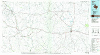
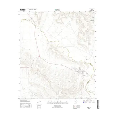
 2010 Iraan2010 Print · USGSCovers Iraan, including Pecos County, Crockett County, and other nearby areas
 - 2012 Map of Iraan, 2012 Print
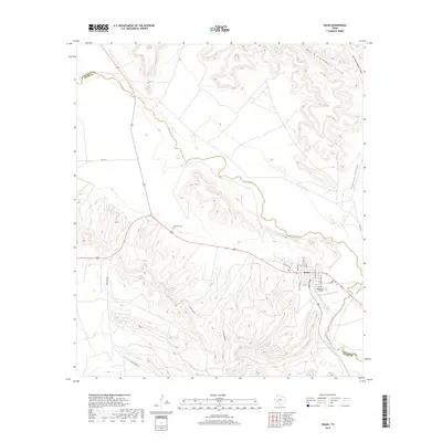
 2012 Iraan2012 Print · USGSCovers Iraan, including Pecos County, Crockett County, and other nearby areas
 - 2016 Map of Iraan, 2016 Print
 2016 Iraan2016 Print · USGSCovers Iraan, including Pecos County, Crockett County, and other nearby areas
 - 2019 Map of Iraan, 2019 Print
 2019 Iraan2019 Print · USGSCovers Iraan, including Pecos County, Crockett County, and other nearby areas
 - 2022 Map of Iraan, 2022 Print
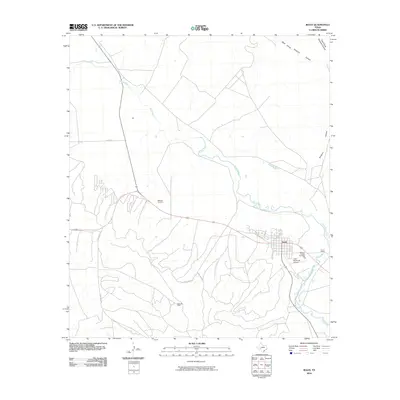
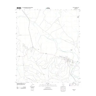
 2022 Iraan2022 Print · USGSThe town of Iraan and the winding Pecos River are documented here in the early twenty-first century. Genealogists and local historians can locate Memory Garden Cem, Restland Cem, and the rugged drainage patterns of Simpson Canyon.
End of results
Showing maps 1-10 of 10
Top cities near Iraan
Frequently asked questions
- What are the different types of historical maps available for Iraan?
- What is the oldest map of Iraan?
- Where can I purchase historical maps of Iraan for my home or office?
- Where can I download high-res historical maps of Iraan?
- Are there historical topographic maps available for Iraan?
- Is there historical aerial imagery available for Iraan?
- Where are historical maps of Iraan sourced from?