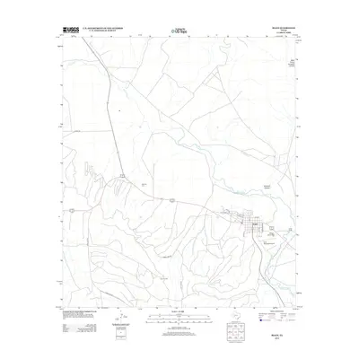
2012 Map of Iraan
USGS Topo · Published 2012About this map
The Pecos River snakes across this West Texas landscape, cutting through the arid terrain of Simpson Canyon and West Prong Simpson Canyon. The town of Iraan serves as the central hub of activity, where the grid of residential streets includes unique local names like Alley Oop Ln alongside more traditional thoroughfares such as Farr St and Harte St. The area's industrial foundation is clearly visible in the extensive network of roads like Long Loop Rd and Short Loop Rd that service the Yates Oil Field to the south.
Find a feature on this map
20 named features on this map. Tap any name to fly to it.
Don’t see what you’re looking for? This feature index may not catch every label — zoom into the map to look around manually.
Map Details
Editions of this 2012 Iraan Map
This is the sole edition of this map. No revisions or reprints were ever made.
Other maps of this area
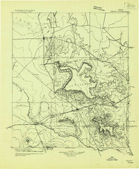
1928 · Crane
USGS Topo · 1:125,000
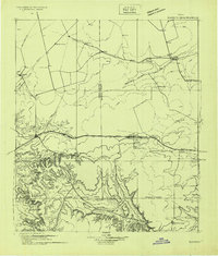
1928 · Rankin
USGS Topo · 1:125,000
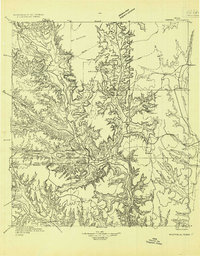
1929 · Sheffield
USGS Topo · 1:125,000
1929 · Independence Draw Quadrangle
USGS Topo · 1:125,000

1954 · Pecos
USGS Topo · 1:250,000

1954 · Fort Stockton
USGS Topo · 1:250,000

1954 · Sonora
USGS Topo · 1:250,000
1954 · San Angelo
USGS Topo · 1:250,000
1957 · Pecos
USGS Topo · 1:250,000

1958 · Sonora
USGS Topo · 1:250,000