Old Maps of Smith Place, Texas for Genealogy
Trace your family roots with 11 historic maps of Smith Place. These high-res maps reveal old neighborhoods, homesites, landmarks, and streets — helping you uncover where your ancestors lived and how the area evolved over time.
- Explore historic neighborhoods: Identify where your relatives may have lived in the 1800s or 1900s.
- Compare maps over time: Trace the changes in streets, buildings, and landmarks for multi-generational research.
- Perfect for genealogy & ancestry research: Used by family historians and researchers to map out lineage and migration.
These maps are an incredible resource for exploring your personal connection to Smith Place's past.
Smith Place, TX maps
(11)- 1929 Map of Hovey
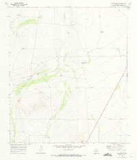
 1929 Hovey1929 Print · USGSIn the Trans-Pecos during the late twenties, the railroad and early motor trails dictated the rhythm of life across the mesa country. Researchers can trace the path of the Old Spanish Trail, locate rural stops like Chancellor, and identify family landmarks like Hayter and Williams.
 - 1954 Map of Fort Stockton, 1965 Print
 1954 Fort Stockton1965 Print · USGSWest Texas ranching and the early energy industry converge in this mid-century survey of the Trans-Pecos. Genealogists and historians can locate specific family lands like Graef Brothers Ranch and trace the paths of the Old Spanish Trail and the Southern Pacific railroad.3 unique versions available
 - 1958 Map of Fort Stockton
 1958 Fort Stockton1958 Print · USGSThe Trans-Pecos region of West Texas in the late fifties is a landscape of vast mesas and isolated ranching hubs. Genealogists and historians can trace the paths of the Texas and New Orleans RR through Alpine or locate early settlements like Bakersfield and Sanderson.
 - 1970 Map of Belding SW, 1973 Print
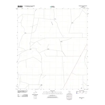
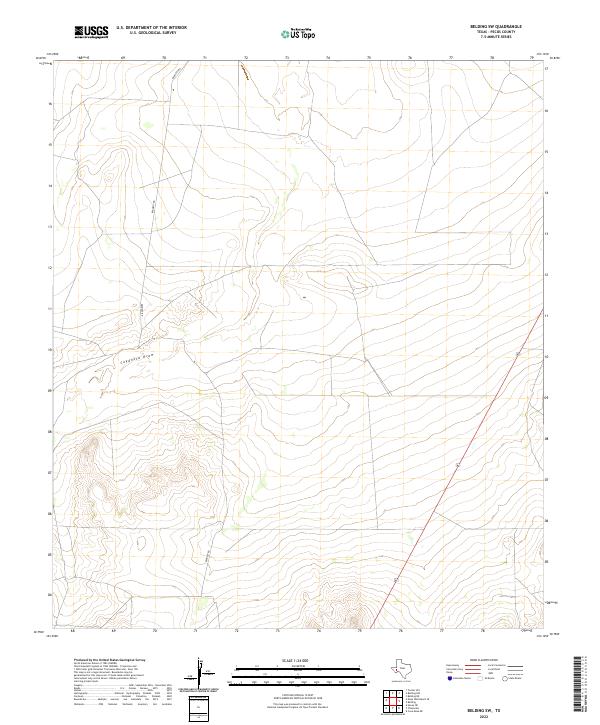
 1970 Belding SW1973 Print · USGSPecos County ranching life in the early 1970s is captured here, centered on the drainage of the Coyanosa Draw. Genealogists and researchers can trace family-named sites like Kennedy Ranch and the Smith Place alongside numerous named wells and windmills.
 - 1973 Map of Fort Stockton, 1974 Print
 1973 Fort Stockton1974 Print · USGSThe Trans-Pecos region of West Texas comes alive in the early seventies, from the desert flats of the Stockton Plateau to the heights of the Davis Mountains. Researchers can trace the legacy of frontier outposts and rail lines through Fort Davis Nat Hist Site, Alpine, and the Southern Pacific RR.
 - 1985 Map of Fort Davis, 1994 Print
 1985 Fort Davis1994 Print · USGSWest Texas in the mid-eighties shows a landscape of high desert peaks and vital spring-fed irrigation. Trace the development of Toyahvale and Balmorhea, or locate specific landmarks like the Fort Davis National Historic Site and Robbers Roost.2 unique versions available
 - 2010 Map of Belding SW, 2010 Print
 2010 Belding SW2010 Print · USGSCovers Smith Place, including Pecos County, United States, and other nearby areas
 - 2012 Map of Belding SW, 2012 Print
 2012 Belding SW2012 Print · USGSCovers Smith Place, including Pecos County, United States, and other nearby areas
 - 2016 Map of Belding SW, 2016 Print
 2016 Belding SW2016 Print · USGSCovers Smith Place, including Pecos County, United States, and other nearby areas
 - 2019 Map of Belding SW, 2019 Print
 2019 Belding SW2019 Print · USGSCovers Smith Place, including Pecos County, United States, and other nearby areas
 - 2022 Map of Belding SW, 2022 Print
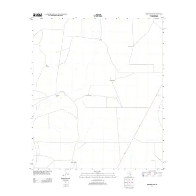
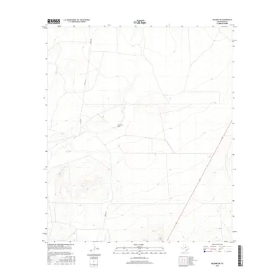
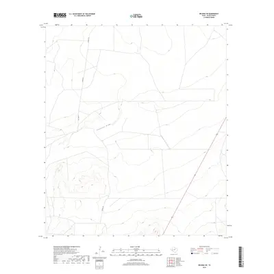
 2022 Belding SW2022 Print · USGSPecos County’s high-desert landscape is captured in the early twenty-first century, showing a terrain defined by natural drainage and limited transit corridors. Local history researchers can trace the course of Coyanosa Draw and the path of Highway 67 through this rural expanse.
End of results
Showing maps 1-11 of 11
Frequently asked questions
- What are the different types of historical maps available for Smith Place?
- What is the oldest map of Smith Place?
- Where can I purchase historical maps of Smith Place for my home or office?
- Where can I download high-res historical maps of Smith Place?
- Are there historical topographic maps available for Smith Place?
- Is there historical aerial imagery available for Smith Place?
- Where are historical maps of Smith Place sourced from?