Old Maps of Corrigan, Texas for Academic Research
Study the evolution of Corrigan with 23 high-resolution historic maps. Whether you're teaching, researching, or modeling changes in land use, these maps provide essential visual documentation of urban, environmental, and geographic change.
- Analyze long-term change: Track patterns in development, transportation, and natural features.
- Ideal for environmental or urban studies: Support academic projects with primary historical map data.
- Use in the classroom or lab: Educators and researchers rely on these maps to bring historical context to life.
These maps are a powerful tool for teaching, research, and visualizing how Corrigan has changed over the decades.
Corrigan, TX maps
(23)- 1953 Map of Palestine, 1964 Print
 1953 Palestine1964 Print · USGSEast Texas was defined by its deep pine forests and burgeoning energy sector in the mid-1950s. Genealogists and historians can trace the rail-and-river economy through settlements like Tennessee Colony and Pollok or explore the early footprints of the Cayuga Oil Field and Davy Crockett National Forest.2 unique versions available
 - 1954 Map of Beaumont, 1964 Print
 1954 Beaumont1964 Print · USGSSoutheast Texas in the mid-fifties reveals a landscape of massive national forests, emerging reservoirs, and a booming oil economy. Genealogists and researchers can trace rural settlements like Dallardsville and Village Mills or locate early drilling sites at Sour Lake Oil Field.3 unique versions available
 - 1955 Map of New Willard, 1957 Print
 1955 New Willard1957 Print · USGSPolk County at the height of the 1950s reveals a landscape of East Texas timber towns and essential rail corridors. Genealogists and historians can trace family roots through numerous rural sites like Bold Springs Ch, Seven Oaks, and the Leggett-Alexander Cem.3 unique versions available
 - 1957 Map of Beaumont
 1957 Beaumont1957 Print · USGSSoutheast Texas in the mid-fifties is defined by the timber-rich lands between the Trinity River and Beaumont. Trace the history of the Alabama and Coushatti Indian Reservation or locate early campus sites like Prairie View College.
 - 1957 Map of Palestine
 1957 Palestine1957 Print · USGSEast Texas in the mid-fifties reveals a landscape of deep pine forests and winding river valleys before the era of massive reservoir construction. Researchers can trace the legacy of the timber and rail industries through labels for the Missouri Pacific RR, Davy Crockett National Forest, and Nacogdoches.
 - 1963 Map of Wakefield, 1966 Print
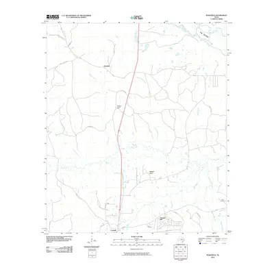
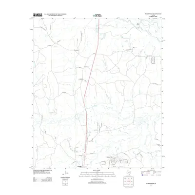
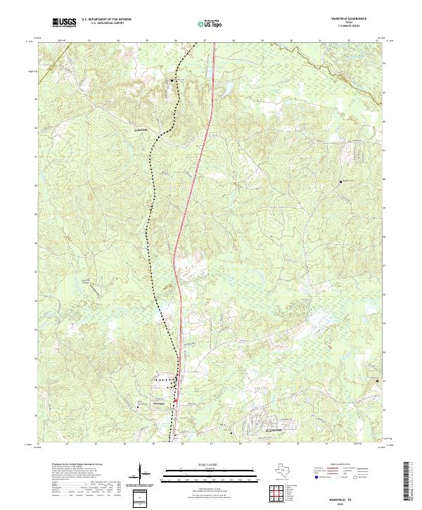
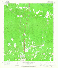 1963 Wakefield1966 Print · USGSPolk County timberlands and river bottoms are documented here in the early sixties, showing the transition from old rail corridors to modern transit. Researchers can find Wakefield family landmarks, Knox Cem, and the path of the Southern Pacific railroad.3 unique versions available
 - 1984 Map of Beaumont
 1984 Beaumont1984 Print · USGSSoutheast Texas in the late seventies and early eighties shows a landscape of expanding reservoirs and deep timber industry. Researchers can trace the development of the Sam Houston National Forest or locate regional landmarks like Grabbs Prairie and the Wynne State Prison Farm.3 unique versions available
 - 1984 Map of Corrigan
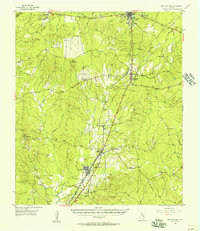
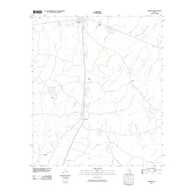
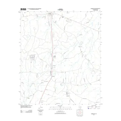
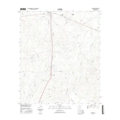
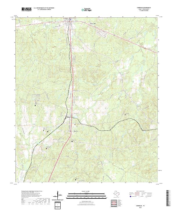
 1984 Corrigan1984 Print · USGSIn the mid-1980s, this pocket of Polk County shows a landscape built on the Southern Pacific railroad and timber interests. Genealogists can locate several family cemeteries like Watts and Jones Cem and rural centers such as Moscow and Bering.
 - 1984 Map of Palestine
 1984 Palestine1984 Print · USGSEast Texas in the mid-eighties reveals a landscape of massive reservoirs and protected timberlands between Palestine and Nacogdoches. Researchers can trace old routes like the Missouri Pacific RR and locate rural communities such as Tennessee Colony, Latexo, and Etoile.3 unique versions available
 - 1985 Map of Livingston
 1985 Livingston1985 Print · USGSEast Texas timber and oil country comes to life in the mid-eighties, showing the deep-set river valleys and forests of Polk and Tyler Counties. Researchers can locate family landmarks like Bold Springs Cem, the Alabama and Coushatta Indian Reservation, and the Livingston Oil Field.
 - 1986 Map of Lufkin
 1986 Lufkin1986 Print · USGSDeep in the Piney Woods during the mid-eighties, this map documents a landscape shaped by vast national forests and the waters of the Sam Rayburn Reservoir. Researchers can trace the legacy of timber and rail through settlements like Diboll, Herty, and Ewing alongside the St Louis Southwestern railroad.
 - 1992 Map of Livingston
 1992 Livingston1992 Print · USGSSoutheast Texas at the start of the nineties reveals a landscape of deep pine forests, oil fields, and historic rural communities. Researchers can locate family landmarks like Holly Grove Cem and Wildwood Sch, or trace the winding Angelina River near B A Steinhagen Lake.
 - 1992 Map of Lufkin
 1992 Lufkin1992 Print · USGSThe Piney Woods of East Texas are captured here in the early nineties, centered on the growing industrial hub of Lufkin. Local researchers can trace the rail networks of the Angelina & Neches River RR and locate rural landmarks like Shady Grove Ch and Manning.
 - 2010 Map of Corrigan, 2010 Print
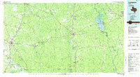
 2010 Corrigan2010 Print · USGSCovers Corrigan, including Asia, Moscow, and other nearby areas
 - 2010 Map of Wakefield, 2010 Print
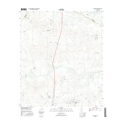
 2010 Wakefield2010 Print · USGSCovers Corrigan, including Pleasant Hill, Wakefield, and other nearby areas
 - 2013 Map of Corrigan, 2013 Print
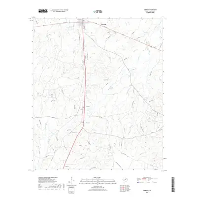
 2013 Corrigan2013 Print · USGSCovers Corrigan, including Asia, Moscow, and other nearby areas
 - 2013 Map of Wakefield, 2013 Print
 2013 Wakefield2013 Print · USGSCovers Corrigan, including Pleasant Hill, Wakefield, and other nearby areas
 - 2016 Map of Wakefield, 2016 Print
 2016 Wakefield2016 Print · USGSCovers Corrigan, including Pleasant Hill, Wakefield, and other nearby areas
 - 2016 Map of Corrigan, 2016 Print
 2016 Corrigan2016 Print · USGSCovers Corrigan, including Asia, Moscow, and other nearby areas
 - 2019 Map of Corrigan, 2019 Print
 2019 Corrigan2019 Print · USGSCovers Corrigan, including Asia, Moscow, and other nearby areas
 - 2019 Map of Wakefield, 2019 Print
 2019 Wakefield2019 Print · USGSCovers Corrigan, including Pleasant Hill, Wakefield, and other nearby areas
 - 2022 Map of Corrigan, 2022 Print
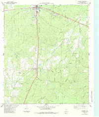
 2022 Corrigan2022 Print · USGSThe Piney Woods of Polk County come alive in this recent survey of the corridor between Corrigan and Moscow. Local historians can trace the sites of the Hardin Hideout and numerous family burial grounds like the Jones Watts Cem and Adams Cem.
 - 2022 Map of Wakefield, 2022 Print
 2022 Wakefield2022 Print · USGSThe Piney Woods of Polk County are documented here in the early 2020s, showing the intersection of river bottomlands and rural settlements. Researchers can locate family landmarks like Wheeler Cem, trace the Dollorhide Cutoff near the Neches River, or study the layout of Corrigan and Wakefield.
End of results
Showing maps 1-23 of 23
Top cities near Corrigan
Top neighborhoods of Corrigan
Frequently asked questions
- What are the different types of historical maps available for Corrigan?
- What is the oldest map of Corrigan?
- Where can I purchase historical maps of Corrigan for my home or office?
- Where can I download high-res historical maps of Corrigan?
- Are there historical topographic maps available for Corrigan?
- Is there historical aerial imagery available for Corrigan?
- Where are historical maps of Corrigan sourced from?