2000s (21st Century) Maps of Seven Oaks, Texas
Explore 10 historic maps of Seven Oaks from the 2000s (21st Century). These maps offer a rare glimpse into what life looked like during the 2000s — showing old roads, neighborhoods, homes, and landmarks that have changed or disappeared over time.
Whether you're researching your family's past, planning a metal detecting trip, or studying how Seven Oaks's landscape evolved across the 2000s, these high-resolution maps are a powerful tool for exploring the history of this region.
- Focus on a specific era: All maps on this page are from the 2000s, giving you a focused view of this time period.
- See what’s changed: Compare century-old streets, trails, and buildings to today's modern landscape using overlays and satellite layers.
- Research with precision: Use these maps for genealogy, historical research, land use analysis, or educational projects.
- View, download, or print: Maps are fully viewable online in high resolution, and can be downloaded or printed for your own records.
Start exploring Seven Oaks's history through authentic maps from the 2000s. This is your window into the past.
Seven Oaks, TX maps
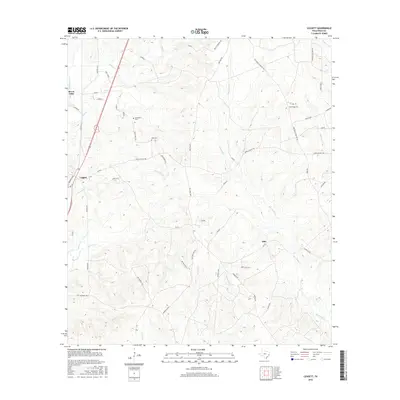
(10)- 2010 Map of Leggett, 2010 Print
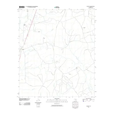 2010 Leggett2010 Print · USGSCovers Seven Oaks, including Walda, Leggett, and other nearby areas
 - 2010 Map of New Willard, 2010 Print
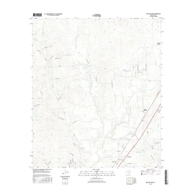
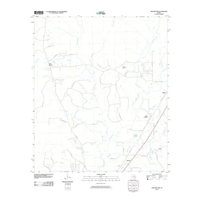 2010 New Willard2010 Print · USGSCovers Seven Oaks, including New Willard, Marston, and other nearby areas
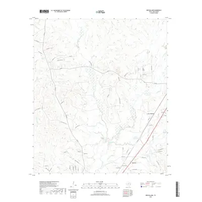
 - 2013 Map of New Willard, 2013 Print
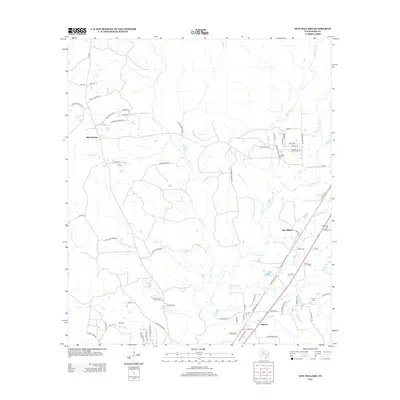 2013 New Willard2013 Print · USGSCovers Seven Oaks, including New Willard, Marston, and other nearby areas
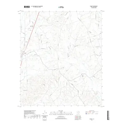
 - 2013 Map of Leggett, 2013 Print
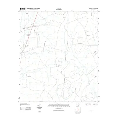 2013 Leggett2013 Print · USGSCovers Seven Oaks, including Walda, Leggett, and other nearby areas
 - 2016 Map of New Willard, 2016 Print
 2016 New Willard2016 Print · USGSCovers Seven Oaks, including New Willard, Marston, and other nearby areas
 - 2016 Map of Leggett, 2016 Print
 2016 Leggett2016 Print · USGSCovers Seven Oaks, including Walda, Leggett, and other nearby areas
 - 2019 Map of Leggett, 2019 Print
 2019 Leggett2019 Print · USGSCovers Seven Oaks, including Walda, Leggett, and other nearby areas
 - 2019 Map of New Willard, 2019 Print
 2019 New Willard2019 Print · USGSCovers Seven Oaks, including New Willard, Marston, and other nearby areas
 - 2022 Map of New Willard, 2022 Print
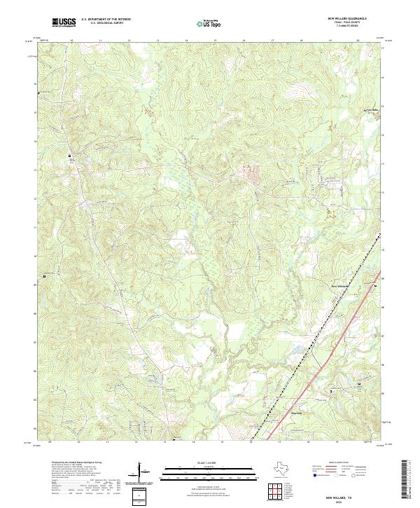 2022 New Willard2022 Print · USGSPolk County at the start of the 2020s shows a deeply rooted rural landscape of timberlands and creek-fed bottomlands. Researchers can locate numerous family and community burial grounds like Alexander Cem and Kibbie Field Cem tucked along the banks of Long Tom Creek.
 - 2022 Map of Leggett, 2022 Print
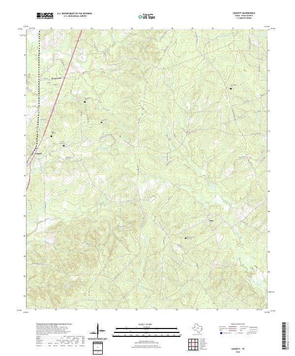 2022 Leggett2022 Print · USGSPolk County's deep piney woods are documented here in the early twenty-first century, showing a landscape of scattered settlements and ancestral landholdings. Researchers can locate numerous family burial sites including Pine Ridge Cem and Oats Cemetery near the banks of Big Sandy Cr.
End of results
Showing maps 1-10 of 10
Top cities near Seven Oaks
Frequently asked questions
- What are the different types of historical maps available for Seven Oaks?
- What is the oldest map of Seven Oaks?
- Where can I purchase historical maps of Seven Oaks for my home or office?
- Where can I download high-res historical maps of Seven Oaks?
- Are there historical topographic maps available for Seven Oaks?
- Is there historical aerial imagery available for Seven Oaks?
- Where are historical maps of Seven Oaks sourced from?