Old Maps of Las Lulas, Texas for Academic Research
Study the evolution of Las Lulas with 10 high-resolution historic maps. Whether you're teaching, researching, or modeling changes in land use, these maps provide essential visual documentation of urban, environmental, and geographic change.
- Analyze long-term change: Track patterns in development, transportation, and natural features.
- Ideal for environmental or urban studies: Support academic projects with primary historical map data.
- Use in the classroom or lab: Educators and researchers rely on these maps to bring historical context to life.
These maps are a powerful tool for teaching, research, and visualizing how Las Lulas has changed over the decades.
Las Lulas, TX maps
(10)- 1896 Map of San Carlos
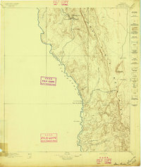 1896 San Carlos1896 Print · USGSPresidio County at the close of the nineteenth century was a frontier landscape of remote ranching outposts and vital desert springs. Researchers can trace early West Texas heritage through sites like Bright's Ranch, San Carlos, and the river camps at Upper San Antonio.5 unique versions available
 - 1959 Map of Marfa, 1976 Print
 1959 Marfa1976 Print · USGSThe Trans-Pecos frontier is captured here in the mid-twentieth century as cattle ranching and high-altitude science shaped the landscape. Researchers can trace the Southern Pacific rail line through Valentine or locate remote border outposts like Ruidosa and Indian Hot Springs Resort.2 unique versions available
 - 1965 Map of Marfa
 1965 Marfa1965 Print · USGSBig Bend ranching and high-desert rail travel come together in the 1960s along the Rio Grande and the southern reaches of the Davis Mountains. Researchers can trace the lineage of cattle outfits like Brite Ranch and historic stops like Valentine and Candelaria.
 - 1979 Map of Pueblo Nuevo, 1980 Print
 1979 Pueblo Nuevo1980 Print · USGSThe Chihuahuan Desert borderlands are captured here during the late 1970s, as the international boundary winds through a landscape of isolated ranchos and deep arroyos. Researchers can trace the riverfront settlements of Pueblo Nuevo and La Rata or locate the remote Cementerio and Hot Springs.2 unique versions available
 - 1985 Map of Marfa
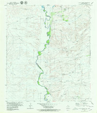
 1985 Marfa1985 Print · USGSPresidio County's high plains and river border are captured here in the mid-eighties as a remote ranching and rail landscape. Researchers can locate the Southern Pacific line through Marfa, the border settlement of Candelaria, and the Loma Plata Mine.2 unique versions available
 - 2010 Map of Pueblo Nuevo, 2010 Print
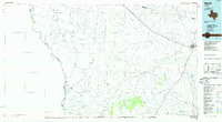
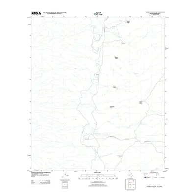
 2010 Pueblo Nuevo2010 Print · USGSCovers Las Lulas, including Pueblo Nuevo, Canta Recio, and other nearby areas
 - 2012 Map of Pueblo Nuevo, 2012 Print
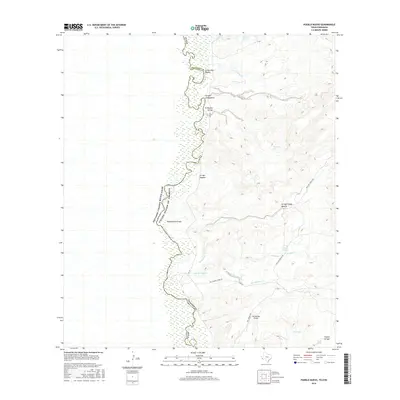
 2012 Pueblo Nuevo2012 Print · USGSCovers Las Lulas, including Pueblo Nuevo, Canta Recio, and other nearby areas
 - 2016 Map of Pueblo Nuevo, 2016 Print
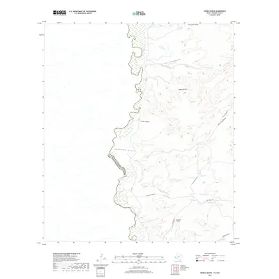
 2016 Pueblo Nuevo2016 Print · USGSCovers Las Lulas, including Pueblo Nuevo, Canta Recio, and other nearby areas
 - 2019 Map of Pueblo Nuevo, 2019 Print
 2019 Pueblo Nuevo2019 Print · USGSCovers Las Lulas, including Pueblo Nuevo, Canta Recio, and other nearby areas
 - 2022 Map of Pueblo Nuevo, 2022 Print
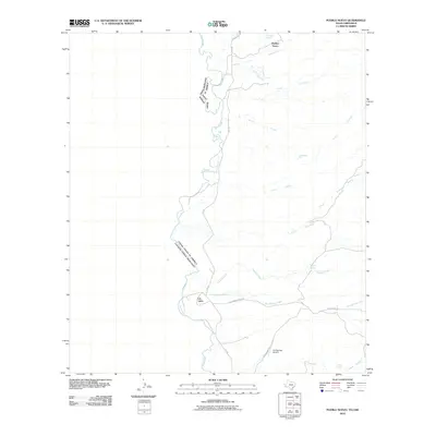
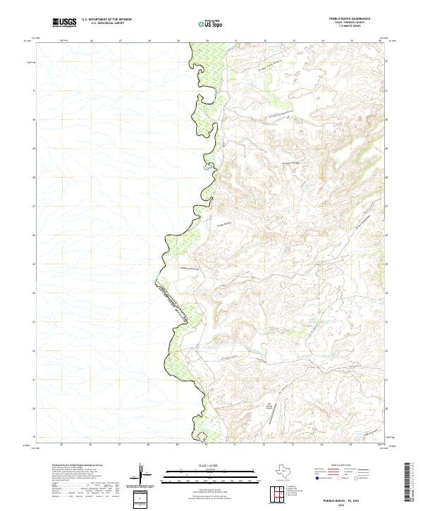 2022 Pueblo Nuevo2022 Print · USGSThe Texas-Mexico border along the Rio Grande is captured in this contemporary survey of Presidio County. Researchers can trace remote desert landmarks like Hot Springs Airport, Naegele Springs, and the winding Arroyo Chupaderos.
End of results
Showing maps 1-10 of 10
Top cities near Las Lulas
Frequently asked questions
- What are the different types of historical maps available for Las Lulas?
- What is the oldest map of Las Lulas?
- Where can I purchase historical maps of Las Lulas for my home or office?
- Where can I download high-res historical maps of Las Lulas?
- Are there historical topographic maps available for Las Lulas?
- Is there historical aerial imagery available for Las Lulas?
- Where are historical maps of Las Lulas sourced from?