Old Maps of Four Corner Windmill, Texas for Academic Research
Study the evolution of Four Corner Windmill with 11 high-resolution historic maps. Whether you're teaching, researching, or modeling changes in land use, these maps provide essential visual documentation of urban, environmental, and geographic change.
- Analyze long-term change: Track patterns in development, transportation, and natural features.
- Ideal for environmental or urban studies: Support academic projects with primary historical map data.
- Use in the classroom or lab: Educators and researchers rely on these maps to bring historical context to life.
These maps are a powerful tool for teaching, research, and visualizing how Four Corner Windmill has changed over the decades.
Four Corner Windmill, TX maps
(11)- 1928 Map of Rankin
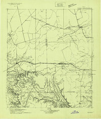 1928 Rankin1928 Print · USGSWest Texas is captured during the transformative oil boom of the late twenties, showing the rise of petroleum towns alongside older ranch outposts. Genealogists and historians can trace early Permian Basin settlements like Texon, Santa Rita, and the legendary boomtown of Best.
 - 1954 Map of San Angelo, 1967 Print
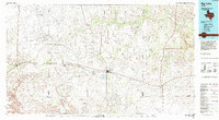
 1954 San Angelo1967 Print · USGSThe Concho Valley and eastern Permian Basin transition from ranching to a burgeoning oil economy during the mid-twentieth century. Trace the expansion of San Angelo near Goodfellow AFB and locate old crossroads like Stiles, Texon, and Barnhart along the SANTA FE railroad.2 unique versions available
 - 1958 Map of San Angelo
 1958 San Angelo1958 Print · USGSWest Texas in the late fifties centers on the growing hub of San Angelo and its vital river confluences. Genealogists and historians can trace the paths of the Santa Fe railroad to outposts like Fort Chadbourne, Big Lake, and the specialized community of Sanatorium.
 - 1965 Map of San Angelo
 1965 San Angelo1965 Print · USGSWest Texas in the mid-sixties reveals a landscape shaped by the petroleum industry and strategic water management. Genealogists and historians can trace the rail corridor through Texon and Big Lake, or locate military landmarks like Goodfellow AFB and Broome Air Force Auxiliary Airfield.
 - 1970 Map of Gardener Draw, 1973 Print
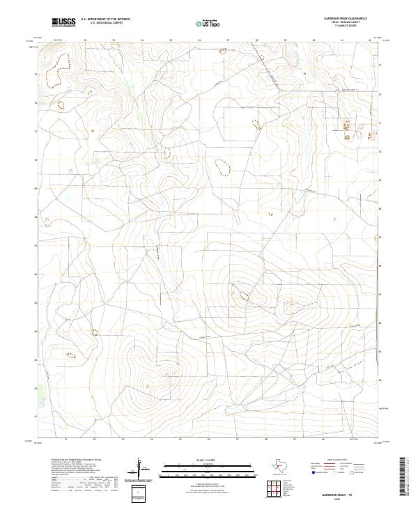
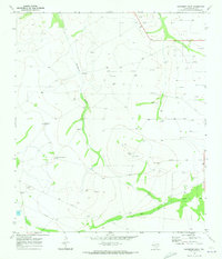 1970 Gardener Draw1973 Print · USGSThe Reagan County plains appear in the early seventies during a period of steady petroleum expansion. Researchers can trace the ranching and energy layout of the era through Gardener Windmill, the Stiles oil field, and Big Jim Draw.
 - 1986 Map of Big Lake, 1993 Print
 1986 Big Lake1993 Print · USGSReagan County in the mid-eighties was a landscape defined by the Permian Basin energy boom and the steel rails of the Santa Fe line. Researchers can trace the sprawling footprints of the Big Lake Oil Field and Stiles Oil Field alongside historic rail stops like Texon and Santa Rita.
 - 2010 Map of Gardener Draw, 2010 Print
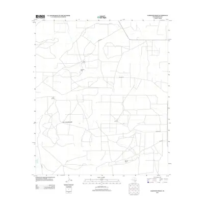
 2010 Gardener Draw2010 Print · USGSCovers Four Corner Windmill, including Reagan County, United States, and other nearby areas
 - 2013 Map of Gardener Draw, 2013 Print
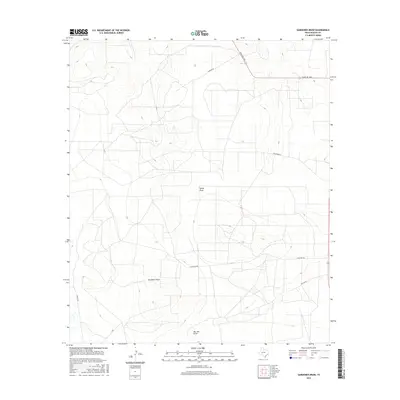
 2013 Gardener Draw2013 Print · USGSCovers Four Corner Windmill, including Reagan County, United States, and other nearby areas
 - 2016 Map of Gardener Draw, 2016 Print
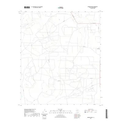
 2016 Gardener Draw2016 Print · USGSCovers Four Corner Windmill, including Reagan County, United States, and other nearby areas
 - 2019 Map of Gardener Draw, 2019 Print
 2019 Gardener Draw2019 Print · USGSCovers Four Corner Windmill, including Reagan County, United States, and other nearby areas
 - 2022 Map of Gardener Draw, 2022 Print
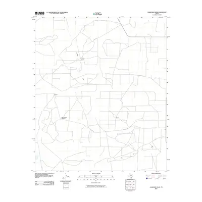
 2022 Gardener Draw2022 Print · USGSReagan County ranch lands are detailed in this modern survey of the high plains landscape. Genealogists and local historians can trace modern property access via Gardner Rd, Ranch Rd 1800, and the namesake Gardener Draw.
End of results
Showing maps 1-11 of 11
Top cities near Four Corner Windmill
Frequently asked questions
- What are the different types of historical maps available for Four Corner Windmill?
- What is the oldest map of Four Corner Windmill?
- Where can I purchase historical maps of Four Corner Windmill for my home or office?
- Where can I download high-res historical maps of Four Corner Windmill?
- Are there historical topographic maps available for Four Corner Windmill?
- Is there historical aerial imagery available for Four Corner Windmill?
- Where are historical maps of Four Corner Windmill sourced from?