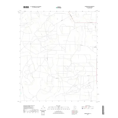
2019 Map of Gardener Draw
USGS Topo · Published 2019About this map
Gardener Draw cuts through this portion of Reagan County, defining a landscape of intermittent drainage patterns and rural Texas ranching infrastructure. This 2019 survey shows a network of named local roads and drives that provide access to the vast open country between Big Lake and Garden City. Significant geographic depressions including Big Jim Draw and Talley Draw are primary topographical markers in a region where elevation changes are subtle but critical for water management.
Find a feature on this map
11 named features on this map. Tap any name to fly to it.
Don’t see what you’re looking for? This feature index may not catch every label — zoom into the map to look around manually.
Map Details
Editions of this 2019 Gardener Draw Map
This is the sole edition of this map. No revisions or reprints were ever made.
Other maps of this area
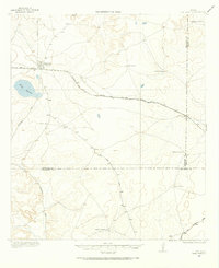
1920 · Big Lake
USGS Topo · 1:62,500
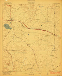
1922 · Big Lake
USGS Topo · 1:62,500
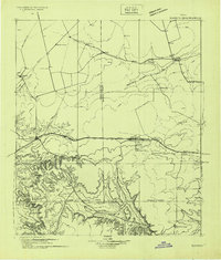
1928 · Rankin
USGS Topo · 1:125,000
1954 · San Angelo
USGS Topo · 1:250,000
1958 · San Angelo
USGS Topo · 1:250,000
1965 · San Angelo
USGS Topo · 1:250,000
1970 · Stiles NW
USGS Topo · 1:24,000
1970 · Moore Hill
USGS Topo · 1:24,000
1970 · Garrison Draw
USGS Topo · 1:24,000
1970 · Gardener Draw
USGS Topo · 1:24,000