
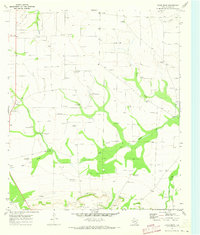
1970 Map of Gardener Draw
USGS Topo · Published 1973About this map
The Stiles oil field dominates this high plains landscape in Reagan County, showing the intersection of petroleum development and traditional ranching infrastructure at the start of the 1970s. The terrain is defined by dry watercourses such as Gardener Draw and Big Jim Draw, which are punctuated by numerous Oil Wells and an extensive network of access points labeled as Drill Hole.
Find a feature on this map
15 named features on this map. Tap any name to fly to it.
Don’t see what you’re looking for? This feature index may not catch every label — zoom into the map to look around manually.
Map Details
Editions of this 1970 Gardener Draw Map
This is the sole edition of this map. No revisions or reprints were ever made.
Other maps of this area

1920 · Big Lake
USGS Topo · 1:62,500

1922 · Big Lake
USGS Topo · 1:62,500

1928 · Rankin
USGS Topo · 1:125,000

1954 · San Angelo
USGS Topo · 1:250,000

1958 · San Angelo
USGS Topo · 1:250,000

1965 · San Angelo
USGS Topo · 1:250,000

1970 · Stiles NW
USGS Topo · 1:24,000

1970 · Moore Hill
USGS Topo · 1:24,000

1970 · Garrison Draw
USGS Topo · 1:24,000
1970 · Divide Draw
USGS Topo · 1:24,000