Old Maps of Riverton, Texas for Hiking & Exploration
Hike through history with 10 historic maps of Riverton. Explore old trails, ghost towns, and forgotten backroads — perfect for outdoor adventurers and local explorers.
- Rediscover forgotten places: Map out old mining camps, roads, and footpaths that no longer exist on modern maps.
- Layer with modern tools: Combine with LiDAR or satellite views to plan hikes through historical terrain.
- Made for exploration: Popular among hikers, overlanders, and local history lovers.
Use these maps to find adventure and explore the hidden past of Riverton.
Riverton, TX maps
(10)- 1931 Map of Orla
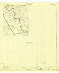 1931 Orla1931 Print · USGSThe Pecos River valley at the Texas-New Mexico border appears here in the early thirties. Trace the route of the Panhandle and Santa Fe railroad past Angeles and the ranching homestead at Olds Ranch.2 unique versions available
 - 1954 Map of Pecos, 1964 Print
 1954 Pecos1964 Print · USGSMid-century West Texas reveals a landscape of expanding oil fields and cattle ranching along the winding Pecos River. Local historians can trace family ranch lands like Goodrich Ranch, follow the Texas and Pacific rails, or locate the historic Horsehead Crossing.3 unique versions available
 - 1957 Map of Pecos
 1957 Pecos1957 Print · USGSWest Texas in the mid-fifties is a landscape of desert oil fields and vital rail corridors. Researchers can trace the sprawling Pyote Air Force Base, the historic Horsehead Crossing, and the rail stops at Mentone and Saragosa.
 - 1961 Map of Orla SE, 1963 Print
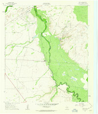 1961 Orla SE1963 Print · USGSThe Pecos Valley in the early 1960s reveals a West Texas landscape dominated by the petroleum industry and the winding river boundary. Researchers can trace the rail-and-oil economy through the Tunstill Oil Field, the river stop at Riverton, and the refinery near Mason Station.2 unique versions available
 - 1986 Map of Kermit
 1986 Kermit1986 Print · USGSWest Texas during the mid-eighties was a landscape defined by the energy industry and the winding Pecos River. Trace the development of Oil Field networks near Kermit, the historic Horsehead Crossing, and the rail lines of the Missouri Pacific.2 unique versions available
 - 2010 Map of Orla SE, 2010 Print
 2010 Orla SE2010 Print · USGSCovers Riverton, including Reeves County, Loving County, and other nearby areas
 - 2013 Map of Orla SE, 2013 Print
 2013 Orla SE2013 Print · USGSCovers Riverton, including Reeves County, Loving County, and other nearby areas
 - 2016 Map of Orla SE, 2016 Print
 2016 Orla SE2016 Print · USGSCovers Riverton, including Reeves County, Loving County, and other nearby areas
 - 2019 Map of Orla SE, 2019 Print
 2019 Orla SE2019 Print · USGSCovers Riverton, including Reeves County, Loving County, and other nearby areas
 - 2022 Map of Orla SE, 2022 Print
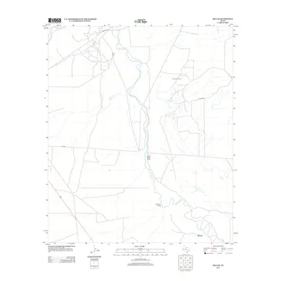
 2022 Orla SE2022 Print · USGSReeves and Loving Counties are documented here as they appeared in the early 2020s, centered on the winding path of the Pecos River. Researchers can trace the layout of the Riverton settlement and locate rural landmarks like Big Tank and Sand Bend Draw.
End of results
Showing maps 1-10 of 10
Top cities near Riverton
Frequently asked questions
- What are the different types of historical maps available for Riverton?
- What is the oldest map of Riverton?
- Where can I purchase historical maps of Riverton for my home or office?
- Where can I download high-res historical maps of Riverton?
- Are there historical topographic maps available for Riverton?
- Is there historical aerial imagery available for Riverton?
- Where are historical maps of Riverton sourced from?