Old Maps of Ryanville, Texas for Hiking & Exploration
Hike through history with 11 historic maps of Ryanville. Explore old trails, ghost towns, and forgotten backroads — perfect for outdoor adventurers and local explorers.
- Rediscover forgotten places: Map out old mining camps, roads, and footpaths that no longer exist on modern maps.
- Layer with modern tools: Combine with LiDAR or satellite views to plan hikes through historical terrain.
- Made for exploration: Popular among hikers, overlanders, and local history lovers.
Use these maps to find adventure and explore the hidden past of Ryanville.
Ryanville, TX maps
(11)- 1953 Map of Beeville
 1953 Beeville1953 Print · USGSThe Texas Coastal Bend in the early fifties shows a landscape of growing regional hubs and vital maritime corridors. Trace the rail-and-river economy through Goliad, locate the Matagorda Lighthouse, and explore the sprawling Aransas National Wildlife Refuge.
 - 1954 Map of Refugio, 1956 Print
 1954 Refugio1956 Print · USGSIn the mid-1950s, this portion of the Texas Coastal Bend was a landscape defined by the growing energy sector and deep-rooted ranching traditions. Researchers can trace family landmarks and rural infrastructure including Blanconia, the Refugio Oil Field, and McQuill Cem.
 - 1956 Map of Beeville
 1956 Beeville1956 Print · USGSCoastal Texas and the brush country interior are shown in the mid-fifties, from the coastal bays to the inland oil fields. Trace the old rail lines of the Southern Pacific RR or locate the historic Matagorda Lighthouse and the Aransas National Wildlife Refuge.2 unique versions available
 - 1960 Map of Beeville
 1960 Beeville1960 Print · USGSCoastal Texas in the mid-fifties reveals a landscape of growing towns and vital military outposts like Foster AFB. Researchers can trace old rail lines including the Missouri Pacific and explore the vast Aransas National Wildlife Refuge.
 - 1978 Map of Ryanville, 1979 Print
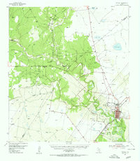
 1978 Ryanville1979 Print · USGSThe South Texas brush country at the Goliad and Refugio county line comes into focus in the late 1970s, showing a landscape defined by ranching and oil. Researchers can trace the development of Ryanville and find local landmarks like Willow Lake, Roadside Park, and Ninemile Flat.
 - 1985 Map of Beeville
 1985 Beeville1985 Print · USGSCoastal South Texas is captured here in the mid-1980s, from the inland plains of Beeville to the estuaries of the Gulf. Genealogists and researchers can trace local landmarks like Chase Field Naval Air Station or follow the historic Southern Pacific rail lines through Skidmore and Woodsboro.2 unique versions available
 - 2010 Map of Ryanville, 2010 Print
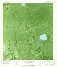
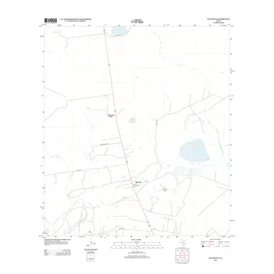
 2010 Ryanville2010 Print · USGSCovers Ryanville, including O'Donnell Place, Goliad County, and other nearby areas
 - 2013 Map of Ryanville, 2013 Print
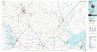
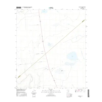
 2013 Ryanville2013 Print · USGSCovers Ryanville, including O'Donnell Place, Goliad County, and other nearby areas
 - 2016 Map of Ryanville, 2016 Print
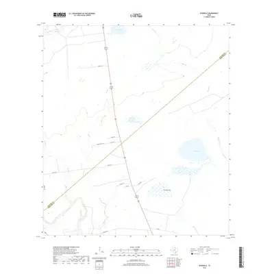
 2016 Ryanville2016 Print · USGSCovers Ryanville, including O'Donnell Place, Goliad County, and other nearby areas
 - 2019 Map of Ryanville, 2019 Print
 2019 Ryanville2019 Print · USGSCovers Ryanville, including O'Donnell Place, Goliad County, and other nearby areas
 - 2022 Map of Ryanville, 2022 Print
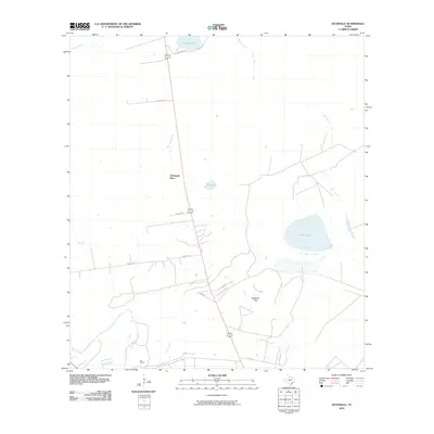
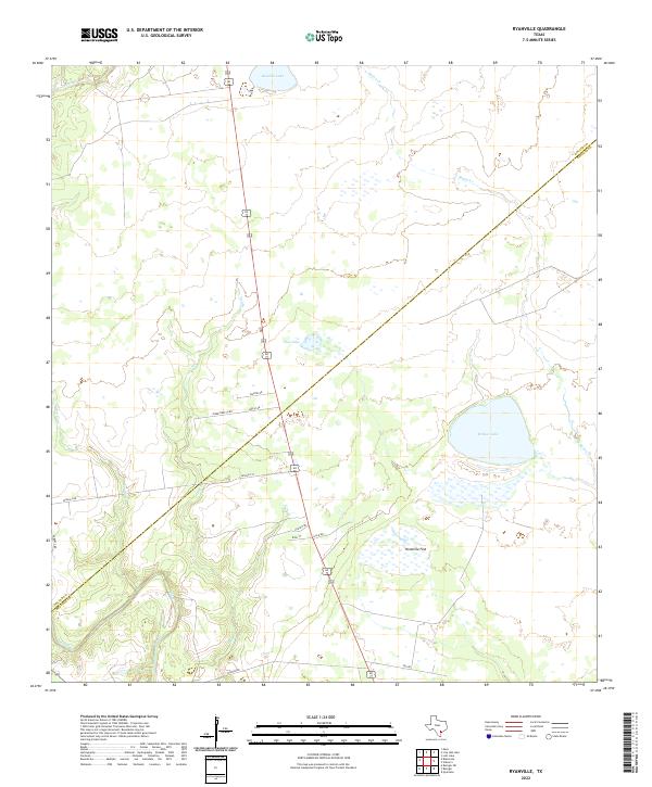 2022 Ryanville2022 Print · USGSCoastal Texas ranching country comes into focus in this recent survey of the Goliad and Refugio county line. Genealogists and land historians can trace rural family routes like Walton Rd and McGuill Rd near landmarks such as Willow Lake and Ninemile Flat.
End of results
Showing maps 1-11 of 11
Top cities near Ryanville
Frequently asked questions
- What are the different types of historical maps available for Ryanville?
- What is the oldest map of Ryanville?
- Where can I purchase historical maps of Ryanville for my home or office?
- Where can I download high-res historical maps of Ryanville?
- Are there historical topographic maps available for Ryanville?
- Is there historical aerial imagery available for Ryanville?
- Where are historical maps of Ryanville sourced from?