Old Maps of Salter, Texas for Genealogy
Trace your family roots with 9 historic maps of Salter. These high-res maps reveal old neighborhoods, homesites, landmarks, and streets — helping you uncover where your ancestors lived and how the area evolved over time.
- Explore historic neighborhoods: Identify where your relatives may have lived in the 1800s or 1900s.
- Compare maps over time: Trace the changes in streets, buildings, and landmarks for multi-generational research.
- Perfect for genealogy & ancestry research: Used by family historians and researchers to map out lineage and migration.
These maps are an incredible resource for exploring your personal connection to Salter's past.
Salter, TX maps
(9)- 1954 Map of Waco, 1964 Print
 1954 Waco1964 Print · USGSCentral Texas during the mid-fifties shows a landscape defined by the expansion of Fort Hood Military Reservation and the Brazos river system. Trace the rail lines and early airfields like James Connally Air Force Base and settlements like Temple or McGregor.2 unique versions available
 - 1955 Map of Waco
 1955 Waco1955 Print · USGSCentral Texas at the peak of the Cold War reveals a landscape defined by military expansion and major water projects. Researchers can trace the footprints of Fort Hood, the waters of Lake Waco, and regional hubs like Temple or Mexia.
 - 1962 Map of Hammond, 1964 Print
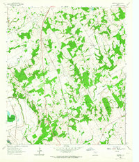 1962 Hammond1964 Print · USGSThe rural Robertson County landscape comes alive in this early 1960s survey, showing a time when small communities were still centered around their country schools and churches. Genealogists and historians can trace family roots through landmarks like Hammond High Sch, Bethlehem Cem, and Mt Moriah Ch.3 unique versions available
 - 1985 Map of Marlin
 1985 Marlin1985 Print · USGSMid-century Texas agriculture and transit converge here during the mid-1980s, centered on the Brazos River corridor. Genealogists can locate family sites near Tidwell Prairie or trace the Missouri Pacific RR through Bremond and Kosse.2 unique versions available
 - 2010 Map of Hammond, 2010 Print
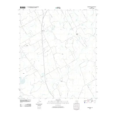 2010 Hammond2010 Print · USGSCovers Salter, including Tidwell Prairie, Hammond, and other nearby areas
 - 2013 Map of Hammond, 2013 Print
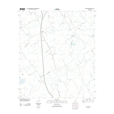 2013 Hammond2013 Print · USGSCovers Salter, including Tidwell Prairie, Hammond, and other nearby areas
 - 2016 Map of Hammond, 2016 Print
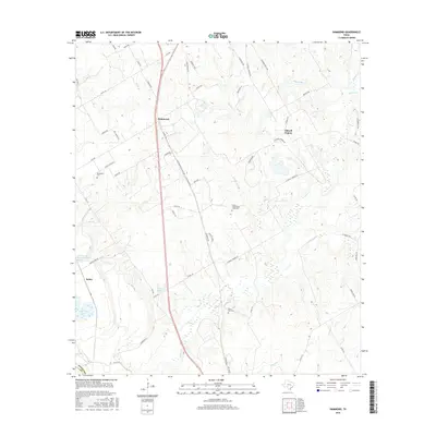 2016 Hammond2016 Print · USGSCovers Salter, including Tidwell Prairie, Hammond, and other nearby areas
 - 2019 Map of Hammond, 2019 Print
 2019 Hammond2019 Print · USGSCovers Salter, including Tidwell Prairie, Hammond, and other nearby areas
 - 2022 Map of Hammond, 2022 Print
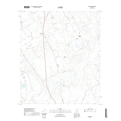
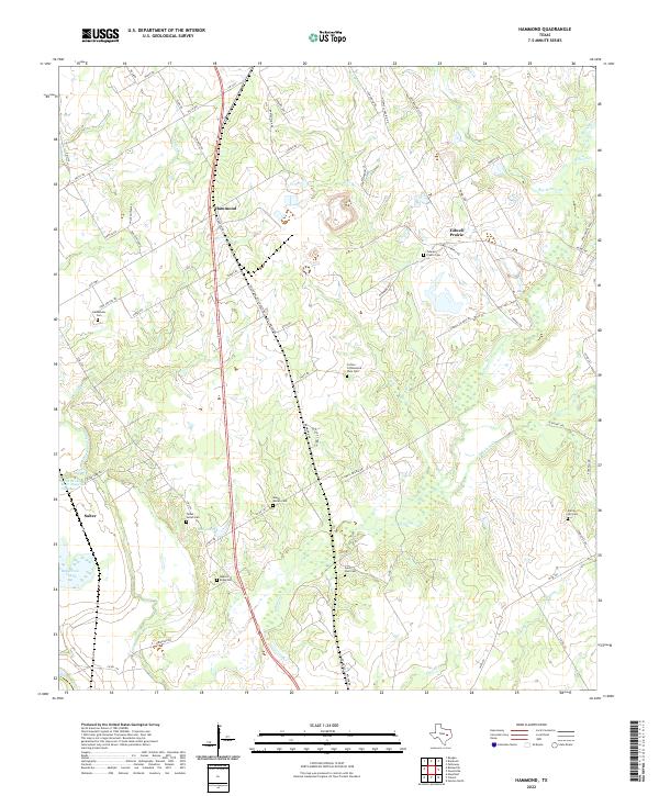 2022 Hammond2022 Print · USGSHammond and the surrounding Robertson County countryside appear here in the early twenty-first century, showing a landscape of family farms and creek-fed bottomlands. Genealogists can trace local roots through numerous burial sites like Saint Paul Cem, Bethlehem Cem, and the Talbot - Salter Cem.
End of results
Showing maps 1-9 of 9
Top cities near Salter
- Cameron historical maps
- Hearne historical maps
- Rosebud historical maps
- Calvert historical maps
- Bremond historical maps
Frequently asked questions
- What are the different types of historical maps available for Salter?
- What is the oldest map of Salter?
- Where can I purchase historical maps of Salter for my home or office?
- Where can I download high-res historical maps of Salter?
- Are there historical topographic maps available for Salter?
- Is there historical aerial imagery available for Salter?
- Where are historical maps of Salter sourced from?