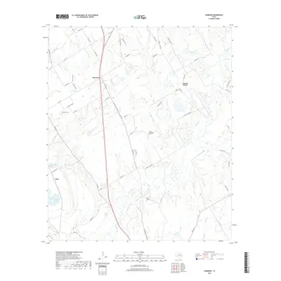
2019 Map of Hammond
USGS Topo · Published 2019About this map
The settlement of Hammond and the agricultural lands of Tidwell Prairie anchor this Robertson County landscape. Located north of the Brazos River, the area is defined by a dense network of seasonal drainages and creeks, including Barton Br, Big Willow Cr, and Walnut Cr. The western edge of the map features the Little Brazos River Diversion Channel, a significant engineering work that altered the hydrology of the river bottomlands near Salter.
Find a feature on this map
64 named features on this map. Tap any name to fly to it.
Don’t see what you’re looking for? This feature index may not catch every label — zoom into the map to look around manually.
Map Details
Editions of this 2019 Hammond Map
This is the sole edition of this map. No revisions or reprints were ever made.
Other maps of this area

1954 · Waco
USGS Topo · 1:250,000

1954 · Austin
USGS Topo · 1:250,000

1955 · Waco
USGS Topo · 1:250,000

1961 · Hearne North
USGS Topo · 1:24,000

1961 · Baileyville
USGS Topo · 1:24,000

1962 · Calvert
USGS Topo · 1:24,000

1962 · Maysfield
USGS Topo · 1:24,000

1962 · Hammond
USGS Topo · 1:24,000

1962 · Reagan
USGS Topo · 1:24,000

1962 · Bremond
USGS Topo · 1:24,000