Old Maps of Rowena, Texas for Hiking & Exploration
Hike through history with 14 historic maps of Rowena. Explore old trails, ghost towns, and forgotten backroads — perfect for outdoor adventurers and local explorers.
- Rediscover forgotten places: Map out old mining camps, roads, and footpaths that no longer exist on modern maps.
- Layer with modern tools: Combine with LiDAR or satellite views to plan hikes through historical terrain.
- Made for exploration: Popular among hikers, overlanders, and local history lovers.
Use these maps to find adventure and explore the hidden past of Rowena.
Rowena, TX maps
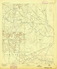
(14)- 1891 Map of Hayrick
 1891 Hayrick1891 Print · USGSTexas ranching country and the arrival of the iron horse meet in the 1890s as the Colorado River divides emerging frontier counties. Genealogists and historians can trace the early foundations of Hayrick and Rowena, or locate remote landmarks like Harris Ranch and the Rock Spring School House.
 - 1894 Map of Hayrick
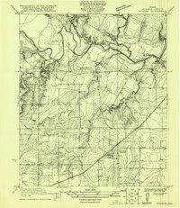
 1894 Hayrick1894 Print · USGSWest Texas ranching and rail life come into focus in the 1890s as the frontier gives way to established counties and communities. Researchers can trace early family outposts like Harris Ranch, rural education at Rock Spring School House, and the arrival of the Gulf Colorado and Santa Fe Railway.5 unique versions available
 - 1921 Map of Rowena
 1921 Rowena1921 Print · USGSRunnels County at the start of the 1920s is captured here as a landscape of rural schools and rail-side growth. Genealogists can locate family lands near Rowena and trace the paths to Cross Roads School or Valley Creek School.
 - 1954 Map of San Angelo, 1967 Print
 1954 San Angelo1967 Print · USGSThe Concho Valley and eastern Permian Basin transition from ranching to a burgeoning oil economy during the mid-twentieth century. Trace the expansion of San Angelo near Goodfellow AFB and locate old crossroads like Stiles, Texon, and Barnhart along the SANTA FE railroad.2 unique versions available
 - 1957 Map of Miles, 1958 Print
 1957 Miles1958 Print · USGSRunnels and Tom Green Counties are shown in the late fifties as the regional economy balanced between rail-side agriculture and a growing oil industry. Genealogists can locate several burial sites including Evergreen Cem and Protestant Cem, or trace early river crossings like 10 Mile Crossing.
 - 1958 Map of San Angelo
 1958 San Angelo1958 Print · USGSWest Texas in the late fifties centers on the growing hub of San Angelo and its vital river confluences. Genealogists and historians can trace the paths of the Santa Fe railroad to outposts like Fort Chadbourne, Big Lake, and the specialized community of Sanatorium.
 - 1965 Map of San Angelo
 1965 San Angelo1965 Print · USGSWest Texas in the mid-sixties reveals a landscape shaped by the petroleum industry and strategic water management. Genealogists and historians can trace the rail corridor through Texon and Big Lake, or locate military landmarks like Goodfellow AFB and Broome Air Force Auxiliary Airfield.
 - 1984 Map of Rowena
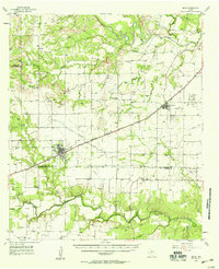
 1984 Rowena1984 Print · USGSRowena and the surrounding Runnels County prairie are captured here during the mid-eighties, centered on the Atchison Topeka and Santa Fe rail line. Researchers can trace the town's layout near Rowena and locate local landmarks such as the Caliche Grave and the Rowena Spire Rowena WT.
 - 1986 Map of Robert Lee
 1986 Robert Lee1986 Print · USGSWest Texas ranching and oil country come into focus in the mid-eighties as the E V Spence Reservoir reshapes the landscape near Robert Lee. Researchers can trace the path of the Atchison Topeka and Santa Fe railroad through Rowena or locate the historic Fort Chadbourne.2 unique versions available
 - 2010 Map of Rowena, 2010 Print
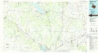
 2010 Rowena2010 Print · USGSCovers Rowena, including Runnels County, United States, and other nearby areas
 - 2012 Map of Rowena, 2012 Print
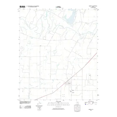
 2012 Rowena2012 Print · USGSCovers Rowena, including Runnels County, United States, and other nearby areas
 - 2016 Map of Rowena, 2016 Print
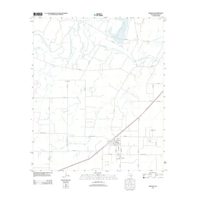
 2016 Rowena2016 Print · USGSCovers Rowena, including Runnels County, United States, and other nearby areas
 - 2019 Map of Rowena, 2019 Print
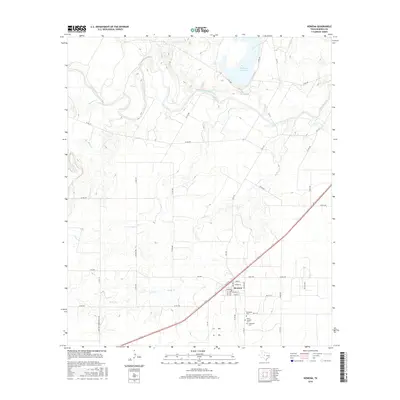
 2019 Rowena2019 Print · USGSCovers Rowena, including Runnels County, United States, and other nearby areas
 - 2022 Map of Rowena, 2022 Print
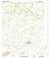
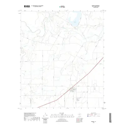
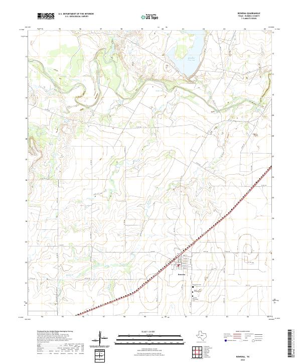 2022 Rowena2022 Print · USGSThe community of Rowena is shown in the early 2020s amidst the cotton and cattle lands of Runnels County. Family researchers can locate Evergreen Cem and Saint Josephs Cem, or trace the winding course of the Colorado River.
End of results
Showing maps 1-14 of 14
Top cities near Rowena
Frequently asked questions
- What are the different types of historical maps available for Rowena?
- What is the oldest map of Rowena?
- Where can I purchase historical maps of Rowena for my home or office?
- Where can I download high-res historical maps of Rowena?
- Are there historical topographic maps available for Rowena?
- Is there historical aerial imagery available for Rowena?
- Where are historical maps of Rowena sourced from?