2000s (21st Century) Maps of Clarktown, Texas
Explore 6 historic maps of Clarktown from the 2000s (21st Century). These maps offer a rare glimpse into what life looked like during the 2000s — showing old roads, neighborhoods, homes, and landmarks that have changed or disappeared over time.
Whether you're researching your family's past, planning a metal detecting trip, or studying how Clarktown's landscape evolved across the 2000s, these high-resolution maps are a powerful tool for exploring the history of this region.
- Focus on a specific era: All maps on this page are from the 2000s, giving you a focused view of this time period.
- See what’s changed: Compare century-old streets, trails, and buildings to today's modern landscape using overlays and satellite layers.
- Research with precision: Use these maps for genealogy, historical research, land use analysis, or educational projects.
- View, download, or print: Maps are fully viewable online in high resolution, and can be downloaded or printed for your own records.
Start exploring Clarktown's history through authentic maps from the 2000s. This is your window into the past.
Clarktown, TX maps
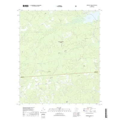
(6)- 2003 Map of Hurricane Creek, 2004 Print
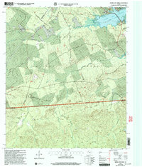 2003 Hurricane Creek2004 Print · USGSThe Sabine National Forest and the southern reaches of the Toledo Bend Reservoir define this East Texas terrain in the early 2000s. Researchers can locate family landmarks like Clark Cem, the Pleasant Hill Ch, and old routes like Ross Youngblood Road.
 - 2010 Map of Hurricane Creek, 2010 Print
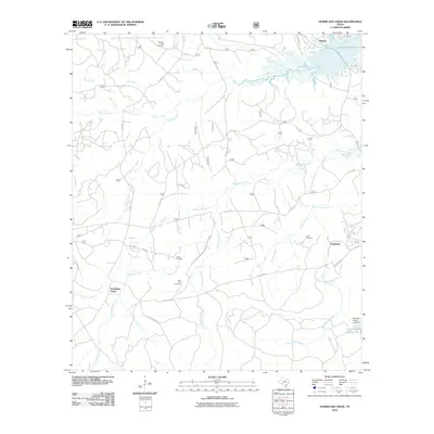 2010 Hurricane Creek2010 Print · USGSCovers Clarktown, including Scrapping Valley, Mason, and other nearby areas
 - 2012 Map of Hurricane Creek, 2012 Print
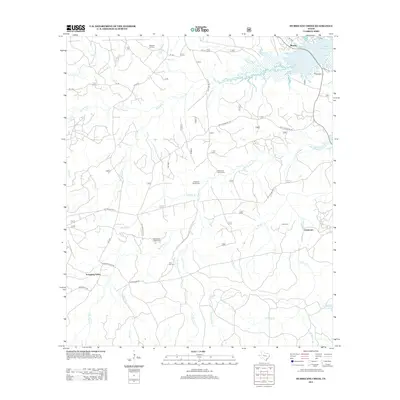 2012 Hurricane Creek2012 Print · USGSCovers Clarktown, including Scrapping Valley, Mason, and other nearby areas
 - 2016 Map of Hurricane Creek, 2016 Print
 2016 Hurricane Creek2016 Print · USGSCovers Clarktown, including Scrapping Valley, Mason, and other nearby areas
 - 2019 Map of Hurricane Creek, 2019 Print
 2019 Hurricane Creek2019 Print · USGSCovers Clarktown, including Scrapping Valley, Mason, and other nearby areas
 - 2022 Map of Hurricane Creek, 2022 Print
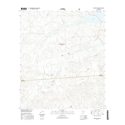
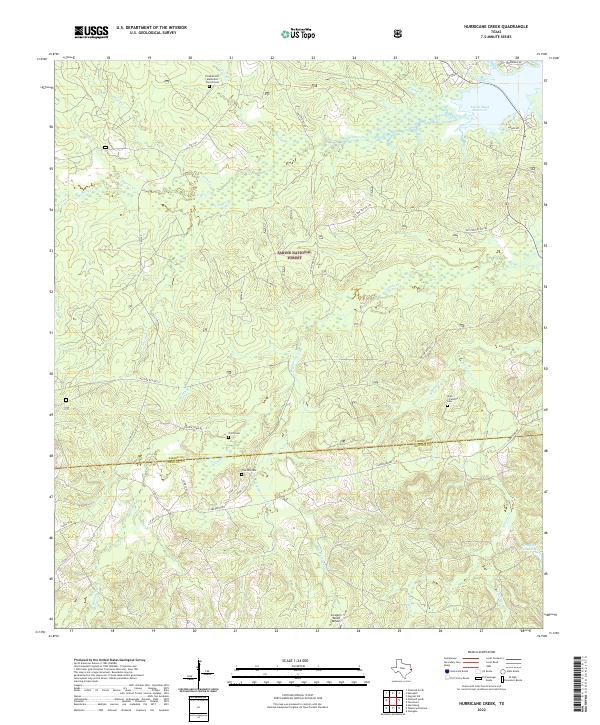 2022 Hurricane Creek2022 Print · USGSSabine and Newton Counties remain deeply forested in this modern survey of the East Texas Piney Woods. Researchers can pinpoint historic burial grounds and rural hubs like Smith Cemetery, the Pine Hill Cemetery, and the waterfront Six Mile Village.
End of results
Showing maps 1-6 of 6
Top cities near Clarktown
Frequently asked questions
- What are the different types of historical maps available for Clarktown?
- What is the oldest map of Clarktown?
- Where can I purchase historical maps of Clarktown for my home or office?
- Where can I download high-res historical maps of Clarktown?
- Are there historical topographic maps available for Clarktown?
- Is there historical aerial imagery available for Clarktown?
- Where are historical maps of Clarktown sourced from?