Old Maps of Hudd, Texas for Academic Research
Study the evolution of Hudd with 10 high-resolution historic maps. Whether you're teaching, researching, or modeling changes in land use, these maps provide essential visual documentation of urban, environmental, and geographic change.
- Analyze long-term change: Track patterns in development, transportation, and natural features.
- Ideal for environmental or urban studies: Support academic projects with primary historical map data.
- Use in the classroom or lab: Educators and researchers rely on these maps to bring historical context to life.
These maps are a powerful tool for teaching, research, and visualizing how Hudd has changed over the decades.
Hudd, TX maps
(10)- 1932 Map of Camp Springs
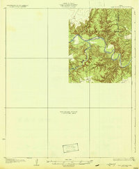 1932 Camp Springs1932 Print · USGSIn the 1930s, the borderlands of Kent and Fisher Counties featured a deeply dissected landscape carved by the Double Mountain Fork Brazos River. Local historians can trace the rural landscape of the era through landmarks like the County Line Sch and the expanse of Longhorn Valley.2 unique versions available
 - 1954 Map of Big Spring, 1965 Print
 1954 Big Spring1965 Print · USGSWest Texas in the mid-1950s shows a landscape of growing oil towns and vital rail links along the Texas and Pacific RR. Researchers can trace the development of Big Spring, find smaller settlements like Knott and Lomax, or locate landmarks such as Boyds Chapel and Signal Mountain.4 unique versions available
 - 1958 Map of Big Spring
 1958 Big Spring1958 Print · USGSThe West Texas oil boom was in full swing during the late fifties, transforming the landscape around Howard and Mitchell counties. Genealogists and historians can trace the growth of Big Spring and Snyder alongside industrial landmarks like the Kelly-Snyder Oil Field and the Santa Fe rail lines.
 - 1969 Map of Hudd, 1972 Print
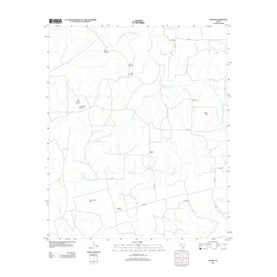
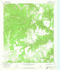 1969 Hudd1972 Print · USGSScurry County ranching and river breaks are documented here in the late sixties, showing the transition from canyonlands to agricultural flats. Researchers can locate the Cottonwood Flat Cem, Criswell Ranch, and landmarks like Sugar Loaf.
 - 1985 Map of Snyder
 1985 Snyder1985 Print · USGSMid-1980s Scurry and Fisher Counties are captured here as a landscape of rail-driven commerce and river-bottom agriculture. Researchers can trace the pathways of the Missouri Pacific railroad or locate family-named landmarks like Mc Caulley and Hermleigh.2 unique versions available
 - 2010 Map of Hudd, 2010 Print
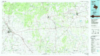
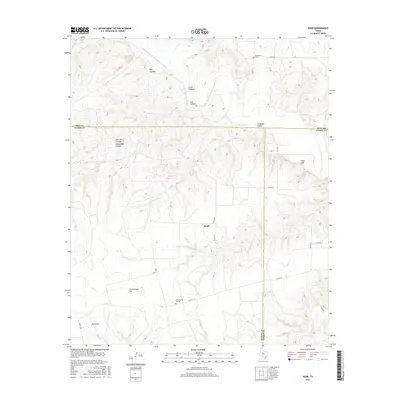
 2010 Hudd2010 Print · USGSCovers Hudd, including Scurry County, Kent County, and other nearby areas
 - 2012 Map of Hudd, 2012 Print
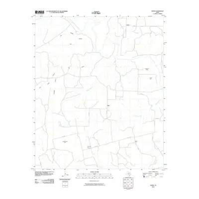
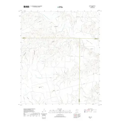
 2012 Hudd2012 Print · USGSCovers Hudd, including Scurry County, Kent County, and other nearby areas
 - 2016 Map of Hudd, 2016 Print
 2016 Hudd2016 Print · USGSCovers Hudd, including Scurry County, Kent County, and other nearby areas
 - 2019 Map of Hudd, 2019 Print
 2019 Hudd2019 Print · USGSCovers Hudd, including Scurry County, Kent County, and other nearby areas
 - 2022 Map of Hudd, 2022 Print
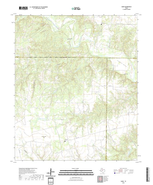 2022 Hudd2022 Print · USGSScurry County and its neighbors meet at the bend of the Brazos River in this recent survey of the West Texas breaks. Researchers can trace ancestral sites at Cottonwood Flat and find rural burial grounds like Riverdale Cem and Cottonwood Flat Cem.
End of results
Showing maps 1-10 of 10
Top cities near Hudd
Frequently asked questions
- What are the different types of historical maps available for Hudd?
- What is the oldest map of Hudd?
- Where can I purchase historical maps of Hudd for my home or office?
- Where can I download high-res historical maps of Hudd?
- Are there historical topographic maps available for Hudd?
- Is there historical aerial imagery available for Hudd?
- Where are historical maps of Hudd sourced from?