Old Maps of Hideaway, Texas for Metal Detecting
Plan your next treasure hunt with 20 historic maps of Hideaway. Find old homesites, ghost towns, trails, and gathering spots that may be lost to time — perfect for identifying promising metal detecting locations.
- Locate forgotten sites: Uncover places like long-lost settlements, abandoned rail lines, or gathering spots.
- Plan better hunts: Use map overlays combined with LiDAR or satellite views to narrow in on historically rich areas.
- Made for detectorists: Thousands of hobbyists use these maps to discover relics, coins, and hidden history.
Use these historic maps to boost your research and find new opportunities beneath the surface of Hideaway.
Hideaway, TX maps
(20)- 1948 Map of Tyler, 1964 Print
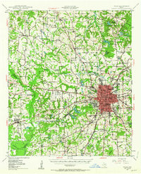 1948 Tyler1964 Print · USGSSmith County and the growing city of Tyler are captured here in the late 1940s, showing a landscape of rail-driven commerce and established rural communities. Local historians can trace family roots through numerous landmarks like Camp Ford, Pounds Field, and Texas College.2 unique versions available
 - 1949 Map of Tyler
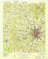 1949 Tyler1949 Print · USGSMid-century Smith County is captured here at a peak of rail and aviation development, centered on the growing hub of Tyler. Genealogists and historians can trace numerous country churches and schools like Lanes Chapel and Young Hill Sch, alongside the sprawling grounds of Camp Ford.
 - 1956 Map of Tyler
 1956 Tyler1956 Print · USGSEast Texas was a powerhouse of oil production and rail transport during the mid-fifties, centered on the sprawling East Texas Oil Field. Researchers can trace the heritage of industrial hubs like Kilgore, military sites such as the Longhorn Ordnance Works, and many rural landmarks like Mount Enterprise.5 unique versions available
 - 1960 Map of Lindale, 1962 Print
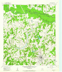 1960 Lindale1962 Print · USGSLindale and its East Texas surroundings are captured here at a moment of mid-century growth along the Missouri Pacific rail line. Genealogists and local historians can trace family roots through sites like Flewellen Cem, the Bragg Morris High Sch, and the community at Friendship.3 unique versions available
 - 1966 Map of Mount Sylvan, 1969 Print
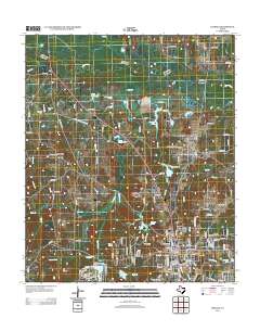
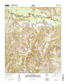
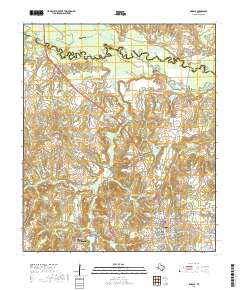
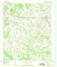 1966 Mount Sylvan1969 Print · USGSThe rural communities of Smith County are frozen in the mid-sixties, showing a landscape of oil wells, creek-fed farms, and country churches. Genealogists can trace family landmarks like Sitton Cem, Dixie Sch, and the settlements of Mount Sylvan and New Harmony.2 unique versions available
 - 1984 Map of Tyler
 1984 Tyler1984 Print · USGSEast Texas at the peak of its reservoir-building era shows a landscape defined by new lakes and established rail corridors. Trace the path of the St Louis Southwestern RR or locate industrial sites like the Longhorn Ordnance Works.3 unique versions available
 - 1985 Map of Tyler
 1985 Tyler1985 Print · USGSEast Texas in the mid-eighties centers on the growth of Tyler and the expansive waters of Lake Palestine. Genealogists and researchers can trace family landmarks like Henry's Chapel and Browning Cem alongside the routes of the Southern Pacific RR.
 - 1985 Map of Mineola
 1985 Mineola1985 Print · USGSUpper East Texas in the mid-eighties shows a region shaped by the Sabine River and large-scale water projects. Researchers can trace the rail heritage of the Missouri Pacific RR and locate rural landmarks like Ambassador College Res or the Oil Field.
 - 1991 Map of Tyler
 1991 Tyler1991 Print · USGSEast Texas in the early nineties centered on the expansion of Tyler and the recreational draw of Lake Palestine. Researchers can trace the layout of smaller communities like Ben Wheeler, Frankston, and Troup as they existed before modern suburban growth.
 - 1991 Map of Mineola
 1991 Mineola1991 Print · USGSEast Texas in the early nineties reveals a landscape shaped by large-scale water reservoirs and the enduring footprint of the oil industry. Genealogists and historians can trace rail-town development in Mineola or explore smaller settlements like Bright Star and Garden Valley.
 - 2010 Map of Lindale, 2010 Print
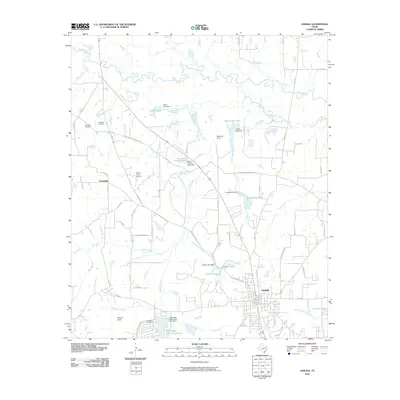 2010 Lindale2010 Print · USGSCovers Hideaway, including Lindale, Mineola, and other nearby areas
 - 2010 Map of Mount Sylvan, 2010 Print
 2010 Mount Sylvan2010 Print · USGSCovers Hideaway, including Tyler, Lindale, and other nearby areas
 - 2012 Map of Mount Sylvan, 2012 Print
 2012 Mount Sylvan2012 Print · USGSCovers Hideaway, including Tyler, Lindale, and other nearby areas
 - 2012 Map of Lindale, 2012 Print
 2012 Lindale2012 Print · USGSCovers Hideaway, including Lindale, Mineola, and other nearby areas
 - 2016 Map of Lindale, 2016 Print
 2016 Lindale2016 Print · USGSCovers Hideaway, including Lindale, Mineola, and other nearby areas
 - 2016 Map of Mount Sylvan, 2016 Print
 2016 Mount Sylvan2016 Print · USGSCovers Hideaway, including Tyler, Lindale, and other nearby areas
 - 2019 Map of Mount Sylvan, 2019 Print
 2019 Mount Sylvan2019 Print · USGSCovers Hideaway, including Tyler, Lindale, and other nearby areas
 - 2019 Map of Lindale, 2019 Print
 2019 Lindale2019 Print · USGSCovers Hideaway, including Lindale, Mineola, and other nearby areas
 - 2022 Map of Mount Sylvan, 2022 Print
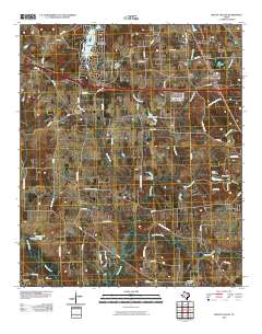
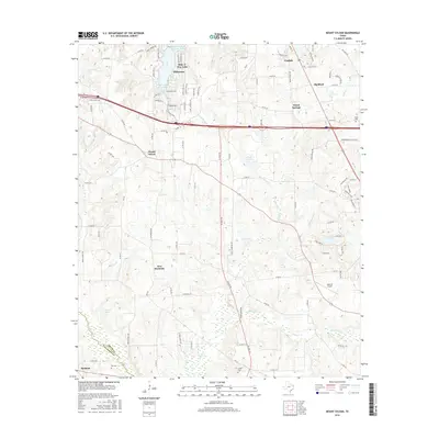
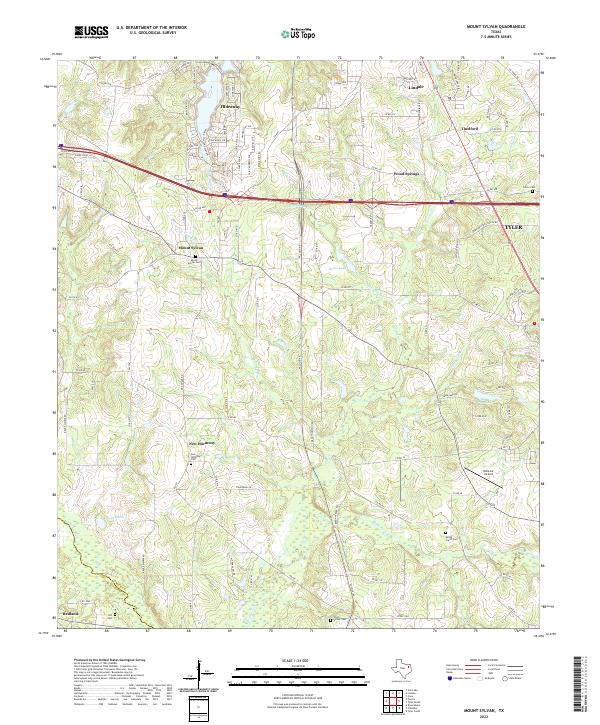 2022 Mount Sylvan2022 Print · USGSSmith County in the 2020s shows a landscape of established rural communities and evolving infrastructure north of Tyler. Genealogists can locate several family burial grounds, including Spring Creek Cem and Hill Cem, while tracing local landmarks like Walk-Air Airport and House Lake.
 - 2022 Map of Lindale, 2022 Print
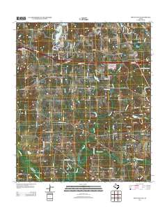
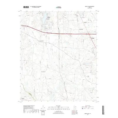
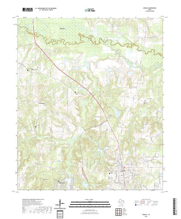 2022 Lindale2022 Print · USGSLindale and the Sabine River bottomlands are shown in this contemporary study of Smith County. Researchers can locate numerous family burial grounds like Flewellen Cem and Hubbard Cem or trace the drainage of Luckieble Br and Duck Cr.
End of results
Showing maps 1-20 of 20
Top cities near Hideaway
- Tyler historical maps
- Whitehouse historical maps
- Lindale historical maps
- Mineola historical maps
- Chandler historical maps
- Van historical maps
See more
Frequently asked questions
- What are the different types of historical maps available for Hideaway?
- What is the oldest map of Hideaway?
- Where can I purchase historical maps of Hideaway for my home or office?
- Where can I download high-res historical maps of Hideaway?
- Are there historical topographic maps available for Hideaway?
- Is there historical aerial imagery available for Hideaway?
- Where are historical maps of Hideaway sourced from?