Old Maps of Charnwood District, Tyler for Academic Research
Study the evolution of Charnwood District with 12 high-resolution historic maps. Whether you're teaching, researching, or modeling changes in land use, these maps provide essential visual documentation of urban, environmental, and geographic change.
- Analyze long-term change: Track patterns in development, transportation, and natural features.
- Ideal for environmental or urban studies: Support academic projects with primary historical map data.
- Use in the classroom or lab: Educators and researchers rely on these maps to bring historical context to life.
These maps are a powerful tool for teaching, research, and visualizing how Charnwood District has changed over the decades.
Charnwood District, Tyler maps
(12)- 1948 Map of Tyler, 1964 Print
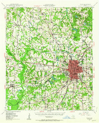 1948 Tyler1964 Print · USGSSmith County and the growing city of Tyler are captured here in the late 1940s, showing a landscape of rail-driven commerce and established rural communities. Local historians can trace family roots through numerous landmarks like Camp Ford, Pounds Field, and Texas College.2 unique versions available
 - 1949 Map of Tyler
 1949 Tyler1949 Print · USGSMid-century Smith County is captured here at a peak of rail and aviation development, centered on the growing hub of Tyler. Genealogists and historians can trace numerous country churches and schools like Lanes Chapel and Young Hill Sch, alongside the sprawling grounds of Camp Ford.
 - 1956 Map of Tyler
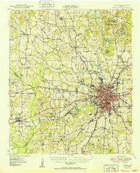
 1956 Tyler1956 Print · USGSEast Texas was a powerhouse of oil production and rail transport during the mid-fifties, centered on the sprawling East Texas Oil Field. Researchers can trace the heritage of industrial hubs like Kilgore, military sites such as the Longhorn Ordnance Works, and many rural landmarks like Mount Enterprise.5 unique versions available
 - 1966 Map of Tyler South, 1970 Print
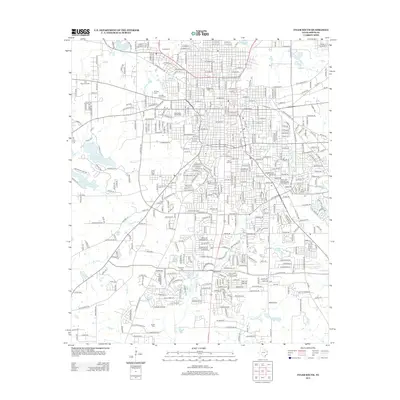
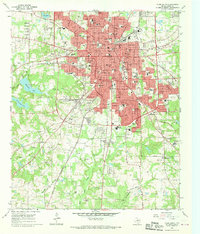 1966 Tyler South1970 Print · USGSTyler was experiencing a surge of post-war growth in the sixties, visible here through its expanding neighborhoods and civic institutions. Genealogists and local historians can trace family plots across a high concentration of cemeteries including Oakwood Cem and St Louis Cem, or locate landmarks like Caldwell Zoo and Tyler Jr College.3 unique versions available
 - 1984 Map of Tyler
 1984 Tyler1984 Print · USGSEast Texas at the peak of its reservoir-building era shows a landscape defined by new lakes and established rail corridors. Trace the path of the St Louis Southwestern RR or locate industrial sites like the Longhorn Ordnance Works.3 unique versions available
 - 1985 Map of Tyler
 1985 Tyler1985 Print · USGSEast Texas in the mid-eighties centers on the growth of Tyler and the expansive waters of Lake Palestine. Genealogists and researchers can trace family landmarks like Henry's Chapel and Browning Cem alongside the routes of the Southern Pacific RR.
 - 1991 Map of Tyler
 1991 Tyler1991 Print · USGSEast Texas in the early nineties centered on the expansion of Tyler and the recreational draw of Lake Palestine. Researchers can trace the layout of smaller communities like Ben Wheeler, Frankston, and Troup as they existed before modern suburban growth.
 - 2010 Map of Tyler South, 2010 Print
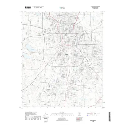
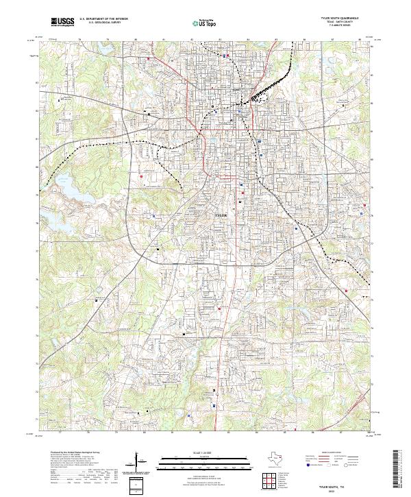
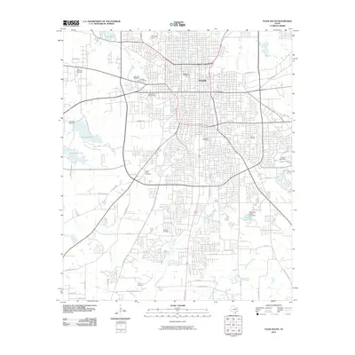 2010 Tyler South2010 Print · USGSCovers Charnwood District, including Tyler, Smith County, and other nearby areas
 - 2012 Map of Tyler South, 2012 Print
 2012 Tyler South2012 Print · USGSCovers Charnwood District, including Tyler, Smith County, and other nearby areas
 - 2016 Map of Tyler South, 2016 Print
 2016 Tyler South2016 Print · USGSCovers Charnwood District, including Tyler, Smith County, and other nearby areas
 - 2019 Map of Tyler South, 2019 Print
 2019 Tyler South2019 Print · USGSCovers Charnwood District, including Tyler, Smith County, and other nearby areas
 - 2022 Map of Tyler South, 2022 Print
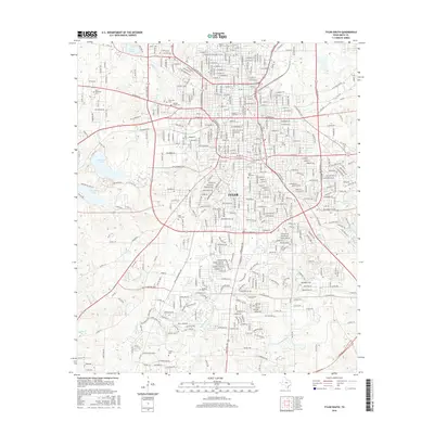
 2022 Tyler South2022 Print · USGSThe heart of Smith County comes into focus in this modern era survey of Tyler and its surrounding neighborhoods. Genealogists and local historians can trace legacy sites from the Smith County Courthouse to historic grounds like Oakwood Cem and Rose Hill Cem.
End of results
Showing maps 1-12 of 12
Frequently asked questions
- What are the different types of historical maps available for Charnwood District?
- What is the oldest map of Charnwood District?
- Where can I purchase historical maps of Charnwood District for my home or office?
- Where can I download high-res historical maps of Charnwood District?
- Are there historical topographic maps available for Charnwood District?
- Is there historical aerial imagery available for Charnwood District?
- Where are historical maps of Charnwood District sourced from?