Old Maps of Santa Catarina, Texas for Academic Research
Study the evolution of Santa Catarina with 14 high-resolution historic maps. Whether you're teaching, researching, or modeling changes in land use, these maps provide essential visual documentation of urban, environmental, and geographic change.
- Analyze long-term change: Track patterns in development, transportation, and natural features.
- Ideal for environmental or urban studies: Support academic projects with primary historical map data.
- Use in the classroom or lab: Educators and researchers rely on these maps to bring historical context to life.
These maps are a powerful tool for teaching, research, and visualizing how Santa Catarina has changed over the decades.
Santa Catarina, TX maps
(14)- 1938 Map of Sal Colorada, 1959 Print
 1938 Sal Colorada1959 Print · USGSStarr County ranching life in the late 1930s is captured here through a dense network of family-owned landholdings and early oil exploration. Genealogists can trace specific homesteads such as Gran Jenito Ranch, Santanita Ranch, and the Sal Colorada School.
 - 1949 Map of Mc Allen, 1954 Print
 1949 Mc Allen1954 Print · USGSThe Rio Grande Valley at mid-century reveals a bustling international corridor of citrus groves, rail lines, and growing border towns. Genealogists and historians can trace the Missouri Pacific RR through McAllen or locate rural landmarks like the Santa Fe School and Arkansas City.
 - 1954 Map of McAllen
 1954 McAllen1954 Print · USGSCovers Santa Catarina, including Reynosa, McAllen, and other nearby areas
 - 1957 Map of Mc Allen, 1962 Print
 1957 Mc Allen1962 Print · USGSThe South Texas borderlands emerge in the late fifties as a hub of energy production and military activity. Researchers can trace the river economy through Rio Grande City, find the Brewster School, and locate the Moore Air Force Base.2 unique versions available
 - 1962 Map of McAllen
 1962 McAllen1962 Print · USGSThe Lower Rio Grande Valley in the mid-twentieth century shows a complex landscape of irrigation, oil production, and border commerce. Genealogists and historians can trace family roots through riverside towns like Zapata, Roma-Los Saenz, and Hidalgo, or locate landmarks like Santa Elena Ch and Moore Air Force Base.
 - 1972 Map of La Gloria, 1993 Print
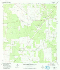 1972 La Gloria1993 Print · USGSStarr County ranching and energy production intersect in the early 1970s as oil fields expand across the South Texas brush. Researchers can trace rural lineages through the Diamond O Ranch and family-named sites like Santa Catarina or the Tangue Allegre Cem.
 - 1983 Map of Mc Allen, 1984 Print
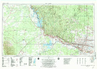 1983 Mc Allen1984 Print · USGSThe Lower Rio Grande Valley is captured here during the early 1980s, showcasing the intense cross-border connectivity and agricultural expansion of the era. Researchers can trace the sprawling irrigation networks around Mc Allen and Mission, or locate landmarks like the Zapata Aircraft Control and Warning Station and Falcon State Park.
 - 1985 Map of Encino
 1985 Encino1985 Print · USGSThe ranching and oil country of South Texas comes to life in the mid-1980s as the energy industry expanded across Starr and Brooks Counties. Family historians can trace ancestral lands near San Antonio Viejo, old rail stops like Encino, and the sprawling Alta Mesa Oil Field.
 - 1992 Map of Encino
 1992 Encino1992 Print · USGSThe South Texas brush country comes into focus in the early nineties, showing a landscape defined by ranching heritage and the energy industry. Genealogists and historians can trace family-named sites like San Antonio Viejo, Agua Nueva, and the rail stop at Linn Siding.
 - 2010 Map of La Gloria, 2010 Print
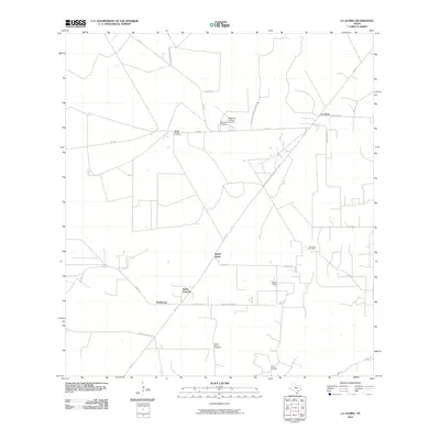 2010 La Gloria2010 Print · USGSCovers Santa Catarina, including Robberson, La Gloria, and other nearby areas
 - 2012 Map of La Gloria, 2012 Print
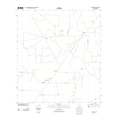 2012 La Gloria2012 Print · USGSCovers Santa Catarina, including Robberson, La Gloria, and other nearby areas
 - 2016 Map of La Gloria, 2016 Print
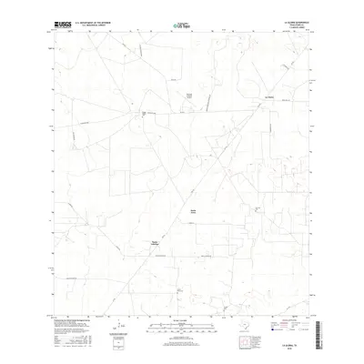 2016 La Gloria2016 Print · USGSCovers Santa Catarina, including Robberson, La Gloria, and other nearby areas
 - 2019 Map of La Gloria, 2019 Print
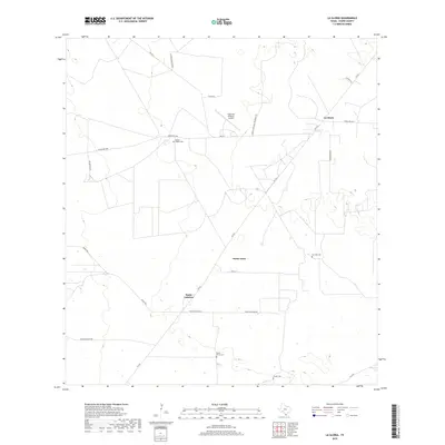 2019 La Gloria2019 Print · USGSCovers Santa Catarina, including Robberson, La Gloria, and other nearby areas
 - 2022 Map of La Gloria, 2022 Print
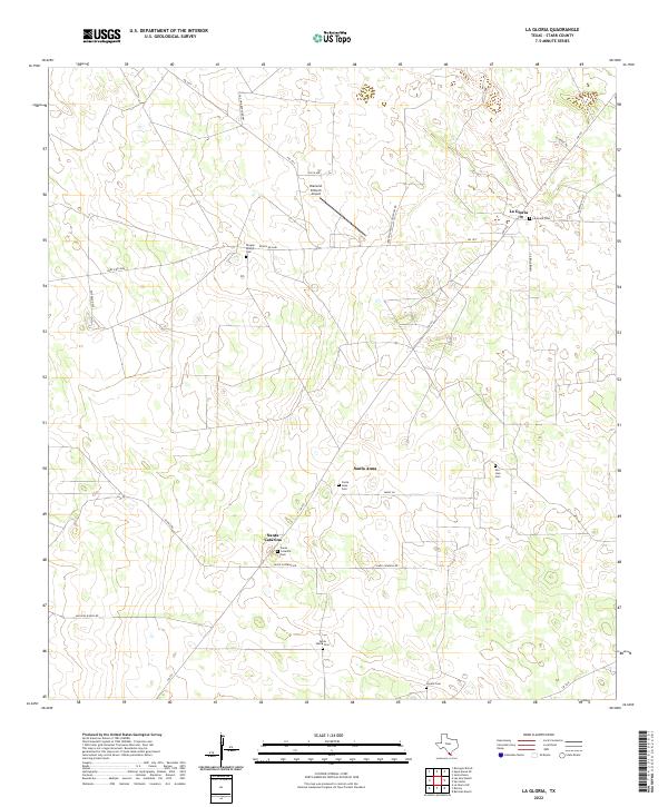 2022 La Gloria2022 Print · USGSThe ranching country of Starr County is depicted here in the early twenty-first century, revealing a landscape of remote settlements and family heritage. Researchers can locate numerous historical burial sites like La Gloria Cem and Coyote Cem along routes such as Ranch Rd 2686.
End of results
Showing maps 1-14 of 14
Top cities near Santa Catarina
Frequently asked questions
- What are the different types of historical maps available for Santa Catarina?
- What is the oldest map of Santa Catarina?
- Where can I purchase historical maps of Santa Catarina for my home or office?
- Where can I download high-res historical maps of Santa Catarina?
- Are there historical topographic maps available for Santa Catarina?
- Is there historical aerial imagery available for Santa Catarina?
- Where are historical maps of Santa Catarina sourced from?