2000s (21st Century) Maps of Valle Vista Number 1 Colonia, Texas
Explore 6 historic maps of Valle Vista Number 1 Colonia from the 2000s (21st Century). These maps offer a rare glimpse into what life looked like during the 2000s — showing old roads, neighborhoods, homes, and landmarks that have changed or disappeared over time.
Whether you're researching your family's past, planning a metal detecting trip, or studying how Valle Vista Number 1 Colonia's landscape evolved across the 2000s, these high-resolution maps are a powerful tool for exploring the history of this region.
- Focus on a specific era: All maps on this page are from the 2000s, giving you a focused view of this time period.
- See what’s changed: Compare century-old streets, trails, and buildings to today's modern landscape using overlays and satellite layers.
- Research with precision: Use these maps for genealogy, historical research, land use analysis, or educational projects.
- View, download, or print: Maps are fully viewable online in high resolution, and can be downloaded or printed for your own records.
Start exploring Valle Vista Number 1 Colonia's history through authentic maps from the 2000s. This is your window into the past.
Valle Vista Number 1 Colonia, TX maps
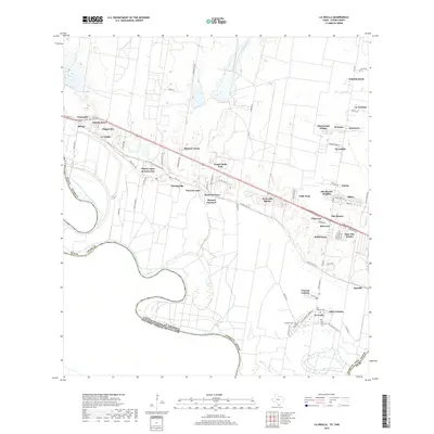
(6)- 2002 Map of La Grulla, 2003 Print
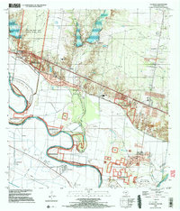 2002 La Grulla2003 Print · USGSThe Rio Grande Valley comes into sharp focus at the turn of the millennium, revealing a landscape defined by river meanders and historic cross-border settlements. Genealogists can trace family footprints through Solizes Cem, Longoria Cem, and the community hub at La Grulla.
 - 2010 Map of La Grulla, 2010 Print
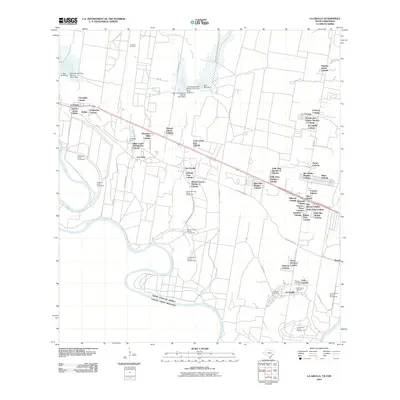 2010 La Grulla2010 Print · USGSCovers Valle Vista Number 1 Colonia, including La Grulla, San Francisco, and other nearby areas
 - 2013 Map of La Grulla, 2013 Print
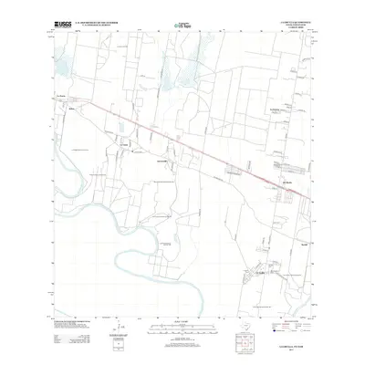 2013 La Grulla2013 Print · USGSCovers Valle Vista Number 1 Colonia, including La Grulla, San Francisco, and other nearby areas
 - 2016 Map of La Grulla, 2016 Print
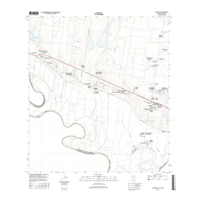 2016 La Grulla2016 Print · USGSCovers Valle Vista Number 1 Colonia, including La Grulla, San Francisco, and other nearby areas
 - 2019 Map of La Grulla, 2019 Print
 2019 La Grulla2019 Print · USGSCovers Valle Vista Number 1 Colonia, including La Grulla, San Francisco, and other nearby areas
 - 2022 Map of La Grulla, 2022 Print
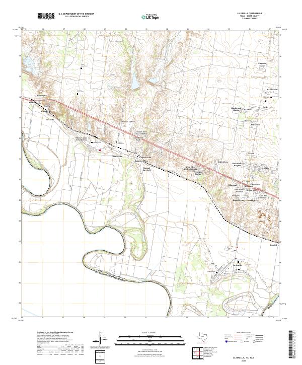 2022 La Grulla2022 Print · USGSStarr County settlements cluster along the Rio Grande corridor in this 2020s study of the Texas-Mexico borderlands. Family historians can trace local heritage through numerous burial sites like Longoria Cem and San Vicente Cem, alongside rural colonias like Garciasville.
End of results
Showing maps 1-6 of 6
Top cities near Valle Vista Number 1 Colonia
- Rio Grande City historical maps
- La Joya historical maps
- Sullivan City historical maps
- La Grulla historical maps
- Peñitas historical maps
- Los Ebanos historical maps
Frequently asked questions
- What are the different types of historical maps available for Valle Vista Number 1 Colonia?
- What is the oldest map of Valle Vista Number 1 Colonia?
- Where can I purchase historical maps of Valle Vista Number 1 Colonia for my home or office?
- Where can I download high-res historical maps of Valle Vista Number 1 Colonia?
- Are there historical topographic maps available for Valle Vista Number 1 Colonia?
- Is there historical aerial imagery available for Valle Vista Number 1 Colonia?
- Where are historical maps of Valle Vista Number 1 Colonia sourced from?