2002 Map of La Grulla
USGS Topo · Published 2003About this map
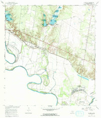
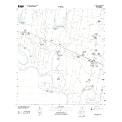
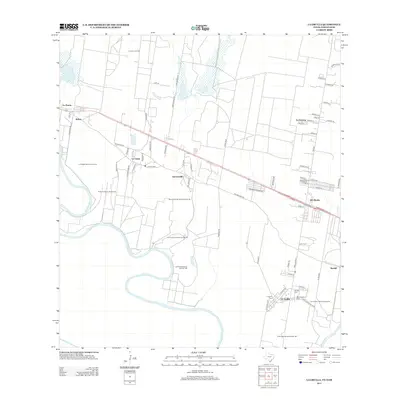
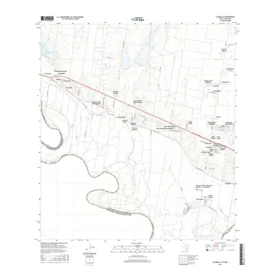
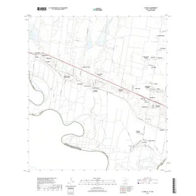
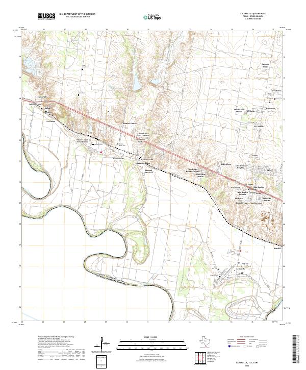
The Rio Grande Rio Bravo carves a complex international boundary through this Starr County landscape, where the meandering river has created a series of distinct land pockets known as bancos, such as Santo Domingo Banco No 55 and Los Fresnos Banco No 145. This map captures the region's unique binational geography, showing Mexican settlements like San Francisco and Puertecitos directly across the water from Texas communities. Transportation and land use are defined by the Old Military Road, which links a string of Rio Grande Valley towns including Garciasville and La Casita. Family and community history are deeply rooted here, evidenced by landmarks like the San Ignacio de Loyola church and several localized burial grounds such as Solizes Cem and San Vicente Cem. Much of the riparian corridor is preserved within the Lower Rio Grande Valley National Wildlife Refuge, contrasting with the active Oil Field developments to the north.
Find a feature on this map
39 named features on this map. Tap any name to fly to it.
Don’t see what you’re looking for? This feature index may not catch every label — zoom into the map to look around manually.
Map Details
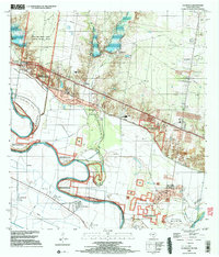
Editions of this 2002 La Grulla Map
This is the sole edition of this map. No revisions or reprints were ever made.
Historical Maps of La Grulla Through Time
7 maps found