Old Maps of Kress, Texas for Genealogy
Trace your family roots with 15 historic maps of Kress. These high-res maps reveal old neighborhoods, homesites, landmarks, and streets — helping you uncover where your ancestors lived and how the area evolved over time.
- Explore historic neighborhoods: Identify where your relatives may have lived in the 1800s or 1900s.
- Compare maps over time: Trace the changes in streets, buildings, and landmarks for multi-generational research.
- Perfect for genealogy & ancestry research: Used by family historians and researchers to map out lineage and migration.
These maps are an incredible resource for exploring your personal connection to Kress's past.
Kress, TX maps
(15)- 1954 Map of Plainview, 1966 Print
 1954 Plainview1966 Print · USGSThe Texas Panhandle and the rugged Caprock Escarpment appear in detail as the region's agricultural and rail networks reached their mid-century peak. Trace family roots and old land patterns through the canyons and plains near Plainview, Palo Duro State Park, and Childress.3 unique versions available
 - 1958 Map of Plainview
 1958 Plainview1958 Print · USGSThe High Plains and Caprock Escarpment meet in the late fifties, showcasing the ranching and rail networks of the Texas Panhandle. Trace family roots and vanished stops along the Panhandle and Santa Fe railroad through Plainview, Silverton, and Matador.
 - 1965 Map of Kress West, 1968 Print
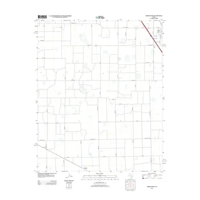
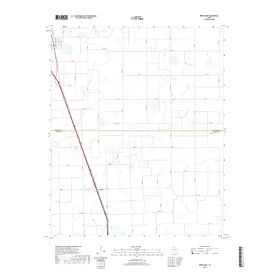
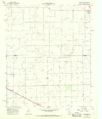 1965 Kress West1968 Print · USGSThe High Plains landscape of Swisher and Hale counties is captured in the mid-1960s, showing a vital agricultural rail corridor. Researchers can trace family roots at Running Water Cem and follow the Fort Worth and Denver line through Farmers Spur.
 - 1969 Map of Kress East, 1971 Print
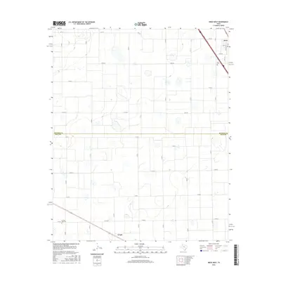
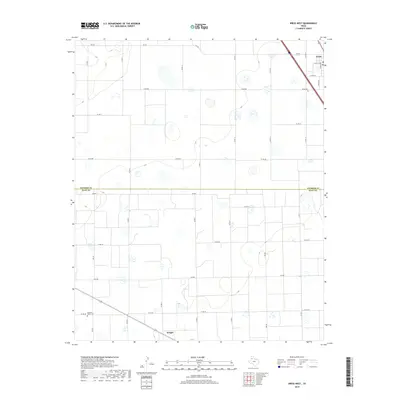
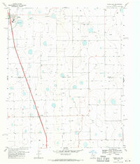 1969 Kress East1971 Print · USGSThe Texas Panhandle at the end of the sixties shows a landscape of intensive irrigation and rail-based commerce. Trace the path of the Atchison Topeka and Santa Fe railroad through Kress and Finney or locate numerous historic wells.
 - 1985 Map of Plainview
 1985 Plainview1985 Print · USGSThe Texas Panhandle's agricultural heartland and the dramatic escarpment are captured here in the mid-eighties. Genealogists and local historians can trace the rail-side growth of Lockney, the layout of Plainview, and the rugged breaks of Caprock Canyon State Park.2 unique versions available
 - 2010 Map of Kress West, 2010 Print
 2010 Kress West2010 Print · USGSCovers Kress, including Wright, Hale County, and other nearby areas
 - 2010 Map of Kress East, 2010 Print
 2010 Kress East2010 Print · USGSCovers Kress, including Finney, Hale County, and other nearby areas
 - 2012 Map of Kress West, 2012 Print
 2012 Kress West2012 Print · USGSCovers Kress, including Wright, Hale County, and other nearby areas
 - 2012 Map of Kress East, 2012 Print
 2012 Kress East2012 Print · USGSCovers Kress, including Finney, Hale County, and other nearby areas
 - 2016 Map of Kress East, 2016 Print
 2016 Kress East2016 Print · USGSCovers Kress, including Finney, Hale County, and other nearby areas
 - 2016 Map of Kress West, 2016 Print
 2016 Kress West2016 Print · USGSCovers Kress, including Wright, Hale County, and other nearby areas
 - 2019 Map of Kress East, 2019 Print
 2019 Kress East2019 Print · USGSCovers Kress, including Finney, Hale County, and other nearby areas
 - 2019 Map of Kress West, 2019 Print
 2019 Kress West2019 Print · USGSCovers Kress, including Wright, Hale County, and other nearby areas
 - 2022 Map of Kress West, 2022 Print
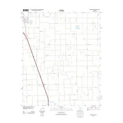
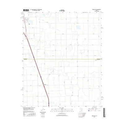
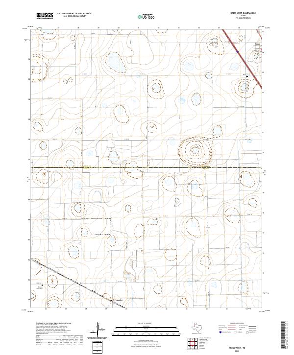 2022 Kress West2022 Print · USGSThe High Plains of West Texas are captured here at the county line between Swisher and Hale, showing the agricultural grids and small settlements of the region. Local historians can trace the roads around Kress and Wright, or locate family sites at Kress Cem and Running Water Cem.
 - 2022 Map of Kress East, 2022 Print
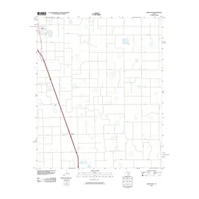
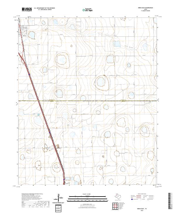 2022 Kress East2022 Print · USGSThe High Plains of the Texas Panhandle are captured here in the early twenty-first century, showing the rural landscape across the Swisher and Hale county line. Genealogists and local historians can trace the streets of Kress, the small settlement of Finney, and the winding path of Rock Draw.
End of results
Showing maps 1-15 of 15
Top cities near Kress
Frequently asked questions
- What are the different types of historical maps available for Kress?
- What is the oldest map of Kress?
- Where can I purchase historical maps of Kress for my home or office?
- Where can I download high-res historical maps of Kress?
- Are there historical topographic maps available for Kress?
- Is there historical aerial imagery available for Kress?
- Where are historical maps of Kress sourced from?