2000s (21st Century) Maps of Allandale, Austin
Explore 10 historic maps of Allandale from the 2000s (21st Century). These maps offer a rare glimpse into what life looked like during the 2000s — showing old roads, neighborhoods, homes, and landmarks that have changed or disappeared over time.
Whether you're researching your family's past, planning a metal detecting trip, or studying how Allandale's landscape evolved across the 2000s, these high-resolution maps are a powerful tool for exploring the history of this region.
- Focus on a specific era: All maps on this page are from the 2000s, giving you a focused view of this time period.
- See what’s changed: Compare century-old streets, trails, and buildings to today's modern landscape using overlays and satellite layers.
- Research with precision: Use these maps for genealogy, historical research, land use analysis, or educational projects.
- View, download, or print: Maps are fully viewable online in high resolution, and can be downloaded or printed for your own records.
Start exploring Allandale's history through authentic maps from the 2000s. This is your window into the past.
Allandale, Austin maps
(10)- 2010 Map of Austin East, 2010 Print
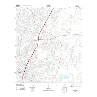 2010 Austin East2010 Print · USGSAustin at the dawn of the 2010s shows a complex urban landscape where historic districts and major university infrastructure meet expanding suburban outskirts. Genealogists and historians can trace significant burial sites like Oakwood Cemetery and Plummers Cemetery or explore the boundaries of the Hyde Park Historic District.
- 2010 Map of Austin West, 2010 Print
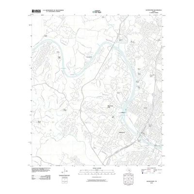 2010 Austin West2010 Print · USGSThe Texas capital's western hills and riverfront are meticulously documented in the decade following the millennium. Genealogists and historians can trace the Camp Mabry Historic District, the Tom Miller Dam, and family sites like McNeil Cemetery.
- 2013 Map of Austin East, 2013 Print
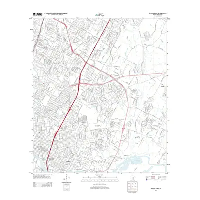 2013 Austin East2013 Print · USGSAustin's eastern expansion and historic core are meticulously detailed in this early 21st-century survey. Genealogists and researchers can trace lineage through the Oakwood Cem and Evergreen Cem or explore established districts like Sprinkle and Daffan.
- 2013 Map of Austin West, 2013 Print
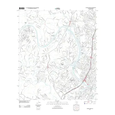 2013 Austin West2013 Print · USGSWestern Austin and the Colorado River corridor are detailed here during a period of modern growth. Genealogists and local historians can trace family-named sites like McNeil Cem and landmarks such as the Camp Mabry Historic District or Mormon Spring.
- 2016 Map of Austin East, 2016 Print
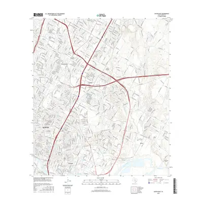 2016 Austin East2016 Print · USGSAustin during the mid-2010s shows a city deeply rooted in its academic and civic history while managing rapid modern growth. Trace the footprints of the Texas State Cem, neighborhoods like Pershing, and landmarks such as Lady Bird Lake.
- 2016 Map of Austin West, 2016 Print
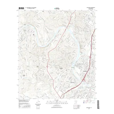 2016 Austin West2016 Print · USGSThe hills of western Travis County are captured here during a period of rapid suburban growth along the Colorado River. Genealogists and local historians can trace the topography of the Jollyville Plateau and locate historic sites like McNeil Cem and Barton Springs.
- 2019 Map of Austin East, 2019 Print
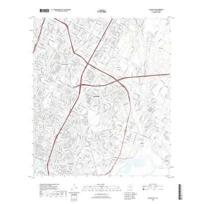 2019 Austin East2019 Print · USGSEastern Austin at the end of the 2010s reveals a cityscape where established neighborhoods meet significant civic landmarks and winding creek beds. Researchers can trace family history at Oakwood Cem or Evergreen Cem, and locate the historic Bud Dryden Airport near the Colorado River.
- 2019 Map of Austin West, 2019 Print
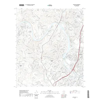 2019 Austin West2019 Print · USGSWestern Austin and the Travis County hill country appear in high detail during this contemporary era of suburban growth. Genealogists and researchers can trace local landmarks like McNeil Cem, the iconic Barton Springs, and the prominent heights of Mt Bonnell.
- 2022 Map of Austin West, 2022 Print
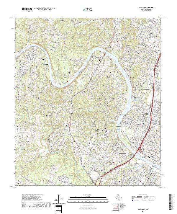 2022 Austin West2022 Print · USGSThe hill country west of Austin comes into focus in this recent survey of the Colorado River corridor. Genealogists can trace family landmarks at Austin Memorial Park Cem and Brown Cem, or locate historic water sources like Deep Eddy Spring and Barton Springs.
- 2022 Map of Austin East, 2022 Print
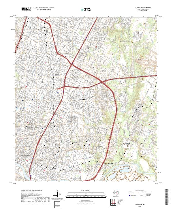 2022 Austin East2022 Print · USGSEast Austin at the start of the 2020s shows a landscape of deep-rooted neighborhoods and major institutional centers. Researchers can trace historic burial sites like Oakwood Cem and Evergreen Cem or locate the campuses of Huston Tillotson University and The University of Texas at Austin.
End of results
Showing maps 1-10 of 10
Frequently asked questions
- What are the different types of historical maps available for Allandale?
- What is the oldest map of Allandale?
- Where can I purchase historical maps of Allandale for my home or office?
- Where can I download high-res historical maps of Allandale?
- Are there historical topographic maps available for Allandale?
- Is there historical aerial imagery available for Allandale?
- Where are historical maps of Allandale sourced from?