Old Maps of East Cesar Chavez, Austin for Metal Detecting
Plan your next treasure hunt with 24 historic maps of East Cesar Chavez. Find old homesites, ghost towns, trails, and gathering spots that may be lost to time — perfect for identifying promising metal detecting locations.
- Locate forgotten sites: Uncover places like long-lost settlements, abandoned rail lines, or gathering spots.
- Plan better hunts: Use map overlays combined with LiDAR or satellite views to narrow in on historically rich areas.
- Made for detectorists: Thousands of hobbyists use these maps to discover relics, coins, and hidden history.
Use these historic maps to boost your research and find new opportunities beneath the surface of East Cesar Chavez.
East Cesar Chavez, Austin maps
(24)- 1896 Map of Austin
 1896 Austin1896 Print · USGSAustin and its surrounding counties are shown in the mid-1890s, capturing the transition from frontier river crossings to a rail-centered regional hub. Researchers can trace historic river access points like Cameron Ferry alongside vanished landmarks such as Johnson's Institute and Moore & Berry's Store.
 - 1897 Map of Austin
 1897 Austin1897 Print · USGSTexas in the late 1890s reveals a capital city defined by its river and an expanding railroad network. Genealogists and historians can trace family-named landmarks and early centers of learning like Saint Edward's College, Johnson's Institute, and Anderson Mill.
 - 1910 Map of Austin
 1910 Austin1910 Print · USGSAustin and the surrounding Travis County hill country are captured here at the start of the twentieth century. Genealogists and researchers can locate pioneer landmarks like Anderson Mill, Mc.Kinney Falls, and numerous river crossings including Lohmann Ford.3 unique versions available
 - 1954 Map of Austin East, 1956 Print
 1954 Austin East1956 Print · USGSMid-century Austin is captured here during a time of significant institutional and residential growth. Genealogists and researchers can trace family landmarks like Oakwood Cemetery, the Fiskville Cemetery, and old schools like Anderson High Sch.
 - 1954 Map of Austin, 1964 Print
 1954 Austin1964 Print · USGSCentral Texas is captured during a period of steady growth as the capital city and its neighboring farm towns began to modernize. Researchers can trace historic rail corridors like the Southern Pacific RR or locate landmarks such as Bergstrom Air Force Base and Pilot Knob.4 unique versions available
 - 1955 Map of Montopolis, 1956 Print
 1955 Montopolis1956 Print · USGSSoutheast Travis County shows its rural roots in the mid-fifties as the capital begins to expand toward the Colorado River. Genealogy researchers can locate family landmarks like Moores Crossing, Pilot Knob Sch, and the historic Salem Ch.2 unique versions available
 - 1955 Map of Montopolis, 1956 Print
 1955 Montopolis1956 Print · USGSThe area southeast of Austin in the mid-fifties reveals a transition from river-bottom farming to active resource extraction. Researchers can locate family landmarks such as Assumption Cemetery, the Elroy Oil Field, and rural centers like Moores Crossing.2 unique versions available
 - 1955 Map of Austin, 1956 Print
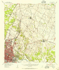 1955 Austin1956 Print · USGSAustin and its northern Travis County neighbors appear here in the mid-1950s, just as suburban growth began to reach toward the Williamson County line. Researchers can trace historic family locations and vanished institutions like the Travis County Tuberculosis Sanitarium, McNeil, and New Sweden.
 - 1966 Map of Austin East, 1969 Print
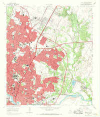 1966 Austin East1969 Print · USGSMid-century Austin is captured here during a season of significant urban growth and institutional expansion. Local researchers can trace the historic grounds of the University of Texas, the former Robert Mueller Municipal Airport, and the French Embassy.3 unique versions available
 - 1966 Map of Montopolis, 1970 Print
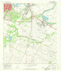 1966 Montopolis1970 Print · USGSSoutheast Austin and the Colorado River corridor are captured here during the mid-sixties as the city began to edge toward the surrounding farmland. Genealogists and local historians can locate early landmarks such as Burdett Prairie Cem, Moores Crossing, and the sprawling Bergstrom Air Force Base.
 - 1973 Map of Montopolis, 1975 Print
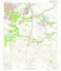 1973 Montopolis1975 Print · USGSSoutheast Austin and the Del Valle area are captured here during the 1970s, as the city expanded toward the massive Bergstrom Air Force Base. Trace family roots and local landmarks from Montopolis to Moores Crossing, including Burdett Prairie Cem and the distinctive Pilot Knob.2 unique versions available
 - 1985 Map of Austin
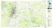 1985 Austin1985 Print · USGSCentral Texas in the mid-eighties reveals a region in transition, balancing rapid urban growth in Austin with deep-rooted rural landscapes. Genealogists and historians can trace family locations near St Johns Ch, the Science Hall schoolhouse, and long-standing communities like Webberville and Manchaca.3 unique versions available
 - 1988 Map of Austin East
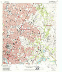 1988 Austin East1988 Print · USGSAustin and its eastern environs are captured during a period of significant growth in the late eighties. Researchers can trace the layout of Huston-Tillotson College, find family markers in Oakwood Cemetery, or locate the rural crossroads of Sprinkle.2 unique versions available
 - 1988 Map of Montopolis
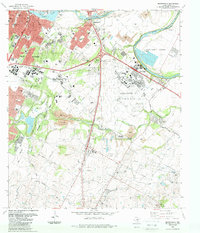 1988 Montopolis1988 Print · USGSSoutheast Travis County in the late eighties shows the expansion of the state capital toward its massive military neighbor. Local historians can trace the development of Montopolis and Del Valle alongside landmarks like Pilot Knob and Mc Kinney Falls.
 - 2010 Map of Montopolis, 2010 Print
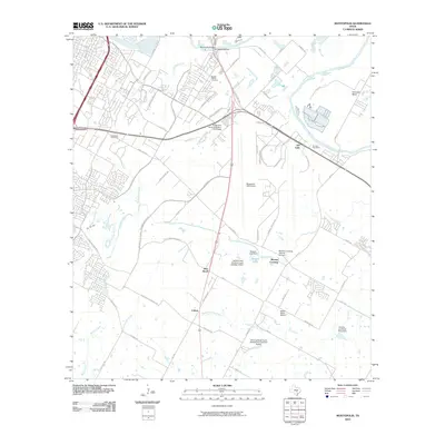 2010 Montopolis2010 Print · USGSSoutheast Austin and the Colorado River bottomlands are captured here in the early 21st century, showing a mix of historic homesteads and major infrastructure. Trace family roots at the Burdett Prairie Cemetery or explore landmarks like Moores Crossing and Pilot Knob.
 - 2010 Map of Austin East, 2010 Print
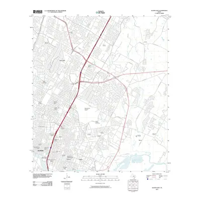 2010 Austin East2010 Print · USGSAustin at the dawn of the 2010s shows a complex urban landscape where historic districts and major university infrastructure meet expanding suburban outskirts. Genealogists and historians can trace significant burial sites like Oakwood Cemetery and Plummers Cemetery or explore the boundaries of the Hyde Park Historic District.
 - 2013 Map of Montopolis, 2013 Print
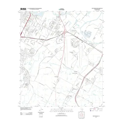 2013 Montopolis2013 Print · USGSSoutheast Austin and the Colorado River corridor are shown here in the early twenty-first century as urban growth meets historic farmsteads. Researchers can locate the Moores Crossing Historic District, the Burdett Prairie Cem, and the prominent Pilot Knob.
 - 2013 Map of Austin East, 2013 Print
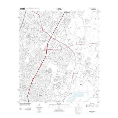 2013 Austin East2013 Print · USGSAustin's eastern expansion and historic core are meticulously detailed in this early 21st-century survey. Genealogists and researchers can trace lineage through the Oakwood Cem and Evergreen Cem or explore established districts like Sprinkle and Daffan.
 - 2016 Map of Austin East, 2016 Print
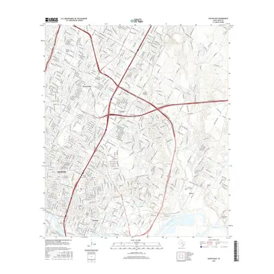 2016 Austin East2016 Print · USGSAustin during the mid-2010s shows a city deeply rooted in its academic and civic history while managing rapid modern growth. Trace the footprints of the Texas State Cem, neighborhoods like Pershing, and landmarks such as Lady Bird Lake.
 - 2016 Map of Montopolis, 2016 Print
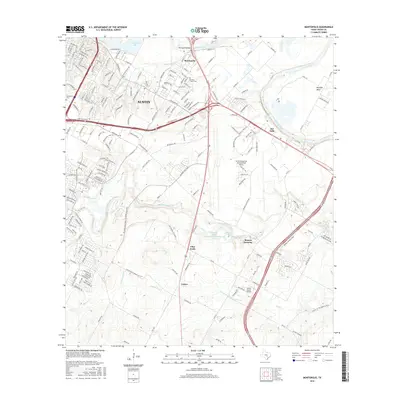 2016 Montopolis2016 Print · USGSSoutheast Austin and Travis County are captured in this mid-2010s survey as the city's urban reach expands toward the Colorado River. Researchers can trace local landmarks like Pilot Knob, the historic Burdett Prairie Cem, and the rural junction at Moores Crossing.
 - 2019 Map of Austin East, 2019 Print
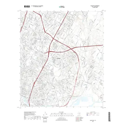 2019 Austin East2019 Print · USGSEastern Austin at the end of the 2010s reveals a cityscape where established neighborhoods meet significant civic landmarks and winding creek beds. Researchers can trace family history at Oakwood Cem or Evergreen Cem, and locate the historic Bud Dryden Airport near the Colorado River.
 - 2019 Map of Montopolis, 2019 Print
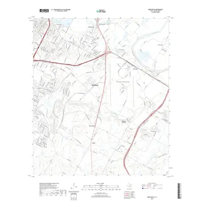 2019 Montopolis2019 Print · USGSSoutheast Austin and the Colorado River corridor are shown here in the late 2010s as suburban expansion meets historical prairie land. Researchers can trace the local landscape from Montopolis and Burdett Prairie Cem to the landmark Pilot Knob.
 - 2022 Map of Austin East, 2022 Print
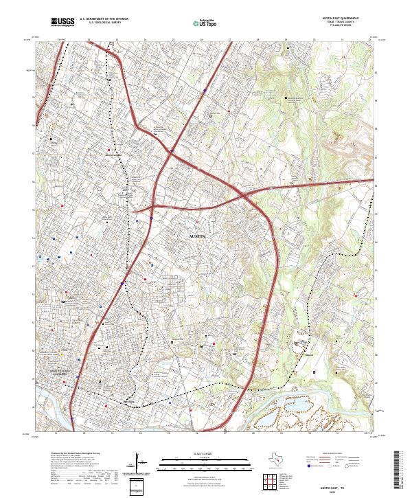 2022 Austin East2022 Print · USGSEast Austin at the start of the 2020s shows a landscape of deep-rooted neighborhoods and major institutional centers. Researchers can trace historic burial sites like Oakwood Cem and Evergreen Cem or locate the campuses of Huston Tillotson University and The University of Texas at Austin.
 - 2022 Map of Montopolis, 2022 Print
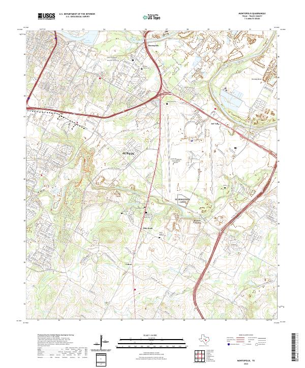 2022 Montopolis2022 Print · USGSSoutheast Austin and the Colorado River corridor are captured here in a period of intense growth and modernization. Genealogists and historians can trace older settlement roots at Moores Crossing and several burial grounds like Burdett Prairie Cem and Waters Cem.
End of results
Showing maps 1-24 of 24
Frequently asked questions
- What are the different types of historical maps available for East Cesar Chavez?
- What is the oldest map of East Cesar Chavez?
- Where can I purchase historical maps of East Cesar Chavez for my home or office?
- Where can I download high-res historical maps of East Cesar Chavez?
- Are there historical topographic maps available for East Cesar Chavez?
- Is there historical aerial imagery available for East Cesar Chavez?
- Where are historical maps of East Cesar Chavez sourced from?