2020s Maps of East Mountain, Texas
Explore 4 historic maps of East Mountain from the 2020s. These maps offer a rare glimpse into what life looked like during the 2020s — showing old roads, neighborhoods, homes, and landmarks that have changed or disappeared over time.
Whether you're researching your family's past, planning a metal detecting trip, or studying how East Mountain's landscape evolved across the 2020s, these high-resolution maps are a powerful tool for exploring the history of this region.
- Focus on a specific era: All maps on this page are from the 2020s, giving you a focused view of this time period.
- See what’s changed: Compare century-old streets, trails, and buildings to today's modern landscape using overlays and satellite layers.
- Research with precision: Use these maps for genealogy, historical research, land use analysis, or educational projects.
- View, download, or print: Maps are fully viewable online in high resolution, and can be downloaded or printed for your own records.
Start exploring East Mountain's history through authentic maps from the 2020s. This is your window into the past.
East Mountain, TX maps
(4)- 2022 Map of White Oak, 2022 Print
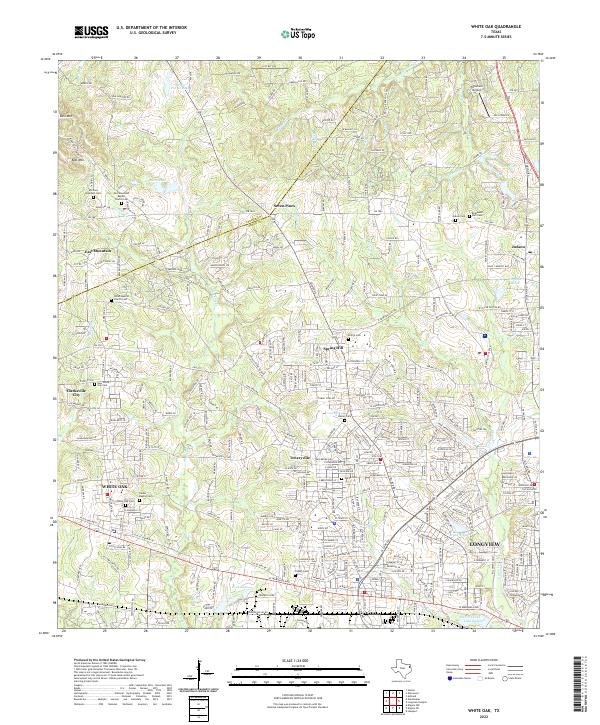 2022 White Oak2022 Print · USGSThe Gregg and Upshur County line area comes alive in this survey, showcasing the growth of White Oak and Longview. Researchers can find numerous family and community sites like White Oak Cem, Teneryville, and Tailwheel Airport.
 - 2022 Map of Gilmer, 2022 Print
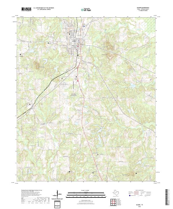 2022 Gilmer2022 Print · USGSUpshur County at the start of the 2020s shows a landscape where civic life in Gilmer meets a dense network of family-named landmarks. Researchers can locate historic burial sites like Old Gilmer Cem or trace the geography of Underwood Mtn and Shelton Lake.
 - 2022 Map of Glenwood, 2022 Print
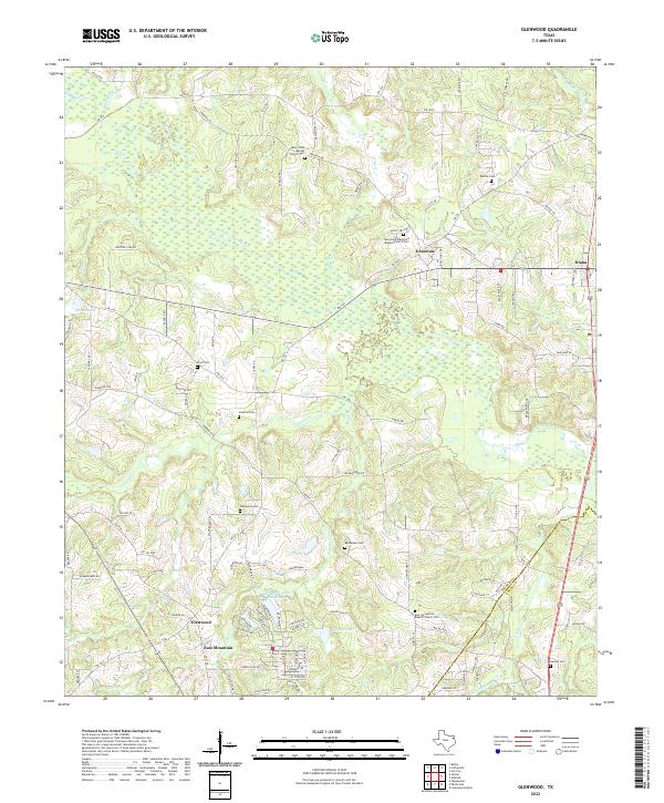 2022 Glenwood2022 Print · USGSUpshur and Gregg counties come together in these East Texas bottomlands during the early twenty-first century. Researchers can trace rural lineages through numerous burial grounds like Floyd Cem, Mattox Cem, and Glenwood Cem.
 - 2022 Map of Gladewater, 2022 Print
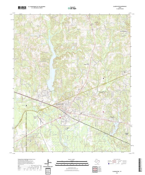 2022 Gladewater2022 Print · USGSThe Gladewater area in the modern era shows a landscape where industrial infrastructure and quiet creek valleys meet. Genealogists can locate family burial grounds at Red Rock Cem, Union Grove Cem, and Rosedale Cem.
End of results
Showing maps 1-4 of 4
Top cities near East Mountain
- Longview historical maps
- Kilgore historical maps
- White Oak historical maps
- Gladewater historical maps
- Gilmer historical maps
- Liberty City historical maps
See more
Top neighborhoods of East Mountain
Frequently asked questions
- What are the different types of historical maps available for East Mountain?
- What is the oldest map of East Mountain?
- Where can I purchase historical maps of East Mountain for my home or office?
- Where can I download high-res historical maps of East Mountain?
- Are there historical topographic maps available for East Mountain?
- Is there historical aerial imagery available for East Mountain?
- Where are historical maps of East Mountain sourced from?