Old Maps of East Mountain, Texas for Academic Research
Study the evolution of East Mountain with 27 high-resolution historic maps. Whether you're teaching, researching, or modeling changes in land use, these maps provide essential visual documentation of urban, environmental, and geographic change.
- Analyze long-term change: Track patterns in development, transportation, and natural features.
- Ideal for environmental or urban studies: Support academic projects with primary historical map data.
- Use in the classroom or lab: Educators and researchers rely on these maps to bring historical context to life.
These maps are a powerful tool for teaching, research, and visualizing how East Mountain has changed over the decades.
East Mountain, TX maps
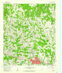
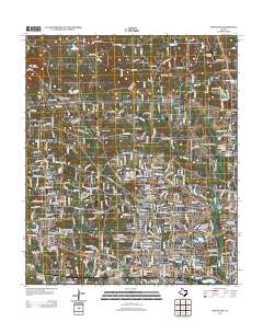
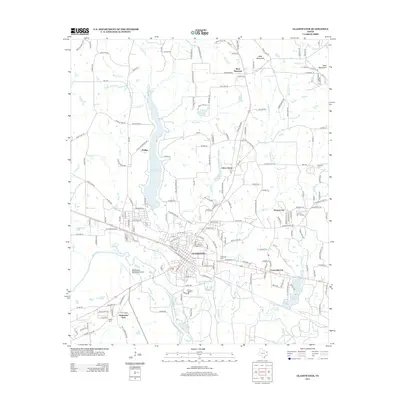
(27)- 1956 Map of Tyler
 1956 Tyler1956 Print · USGSEast Texas was a powerhouse of oil production and rail transport during the mid-fifties, centered on the sprawling East Texas Oil Field. Researchers can trace the heritage of industrial hubs like Kilgore, military sites such as the Longhorn Ordnance Works, and many rural landmarks like Mount Enterprise.5 unique versions available
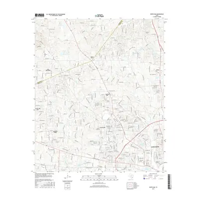
 - 1960 Map of White Oak, 1962 Print
 1960 White Oak1962 Print · USGSMid-century East Texas reveals an economy driven by petroleum and the Texas and Pacific rail line. Researchers can trace company outposts like Amerada Camp or locate community centers like Sherman Chapel and Pine Tree Sch.3 unique versions available
 - 1960 Map of Gilmer, 1962 Print
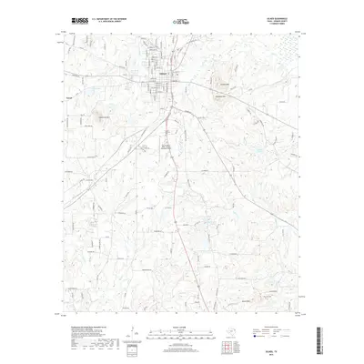
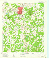 1960 Gilmer1962 Print · USGSUpshur County in the early sixties centers on the town of Gilmer during a period of steady community growth. Researchers can trace local heritage through numerous rural landmarks like Mings Chapel, Morris Cem, and the St Louis Southwestern Railroad Grade.2 unique versions available
 - 1960 Map of Glenwood, 1962 Print
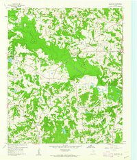 1960 Glenwood1962 Print · USGSEastern Upshur County is captured here at the height of its mid-century oil production. Researchers can trace rural lineages through family landmarks like Mattox Cem or locate community centers such as Valley View Sch and the Lake Providence Ch.2 unique versions available
 - 1960 Map of Gladewater, 1962 Print
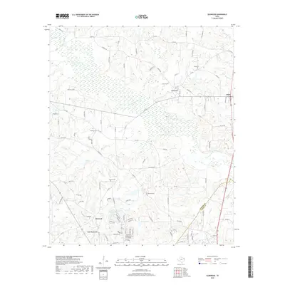
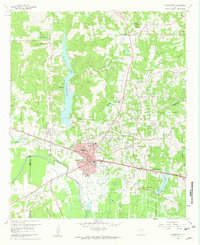 1960 Gladewater1962 Print · USGSEast Texas at the start of the 1960s reveals a landscape of oil production and rural communities centered on the Sabine River. Researchers can trace the Texas and Pacific rail line through Gladewater and locate local landmarks like the Edwards Cem and Warren City.2 unique versions available
 - 1984 Map of Tyler
 1984 Tyler1984 Print · USGSEast Texas at the peak of its reservoir-building era shows a landscape defined by new lakes and established rail corridors. Trace the path of the St Louis Southwestern RR or locate industrial sites like the Longhorn Ordnance Works.3 unique versions available
 - 1986 Map of Marshall
 1986 Marshall1986 Print · USGSEast Texas and the Louisiana borderlands are shown in the mid-1980s during a period of sustained industrial and energy production. Researchers can trace family roots through settlements like Ebenezer or study the impact of the Longhorn Army Ammunition Plant and Rodessa Oil Field.2 unique versions available
 - 2010 Map of White Oak, 2010 Print
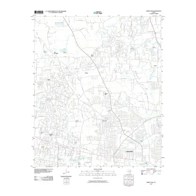 2010 White Oak2010 Print · USGSCovers East Mountain, including Longview, White Oak, and other nearby areas
 - 2010 Map of Gilmer, 2010 Print
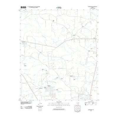
 2010 Gilmer2010 Print · USGSCovers East Mountain, including Gilmer, Piedmont, and other nearby areas
 - 2010 Map of Gladewater, 2010 Print
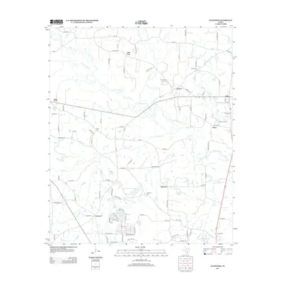
 2010 Gladewater2010 Print · USGSCovers East Mountain, including White Oak, Gladewater, and other nearby areas
 - 2010 Map of Glenwood, 2010 Print
 2010 Glenwood2010 Print · USGSCovers East Mountain, including Indian Rock, Valley View, and other nearby areas
 - 2013 Map of Gilmer, 2013 Print
 2013 Gilmer2013 Print · USGSCovers East Mountain, including Gilmer, Piedmont, and other nearby areas
 - 2013 Map of Glenwood, 2013 Print
 2013 Glenwood2013 Print · USGSCovers East Mountain, including Indian Rock, Valley View, and other nearby areas
 - 2013 Map of White Oak, 2013 Print
 2013 White Oak2013 Print · USGSCovers East Mountain, including Longview, White Oak, and other nearby areas
 - 2013 Map of Gladewater, 2013 Print
 2013 Gladewater2013 Print · USGSCovers East Mountain, including White Oak, Gladewater, and other nearby areas
 - 2016 Map of Glenwood, 2016 Print
 2016 Glenwood2016 Print · USGSCovers East Mountain, including Indian Rock, Valley View, and other nearby areas
 - 2016 Map of Gladewater, 2016 Print
 2016 Gladewater2016 Print · USGSCovers East Mountain, including White Oak, Gladewater, and other nearby areas
 - 2016 Map of Gilmer, 2016 Print
 2016 Gilmer2016 Print · USGSCovers East Mountain, including Gilmer, Piedmont, and other nearby areas
 - 2016 Map of White Oak, 2016 Print
 2016 White Oak2016 Print · USGSCovers East Mountain, including Longview, White Oak, and other nearby areas
 - 2019 Map of Gilmer, 2019 Print
 2019 Gilmer2019 Print · USGSCovers East Mountain, including Gilmer, Piedmont, and other nearby areas
 - 2019 Map of Glenwood, 2019 Print
 2019 Glenwood2019 Print · USGSCovers East Mountain, including Indian Rock, Valley View, and other nearby areas
 - 2019 Map of Gladewater, 2019 Print
 2019 Gladewater2019 Print · USGSCovers East Mountain, including White Oak, Gladewater, and other nearby areas
 - 2019 Map of White Oak, 2019 Print
 2019 White Oak2019 Print · USGSCovers East Mountain, including Longview, White Oak, and other nearby areas
 - 2022 Map of White Oak, 2022 Print
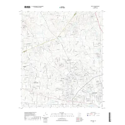
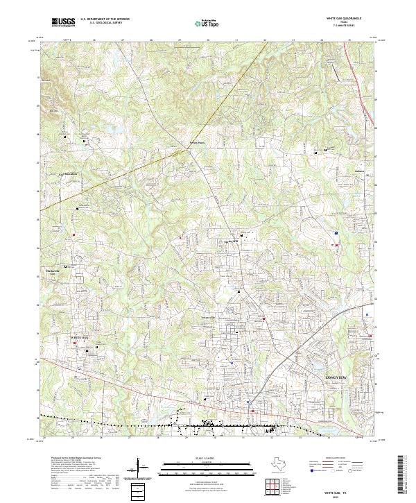 2022 White Oak2022 Print · USGSThe Gregg and Upshur County line area comes alive in this survey, showcasing the growth of White Oak and Longview. Researchers can find numerous family and community sites like White Oak Cem, Teneryville, and Tailwheel Airport.
 - 2022 Map of Gilmer, 2022 Print
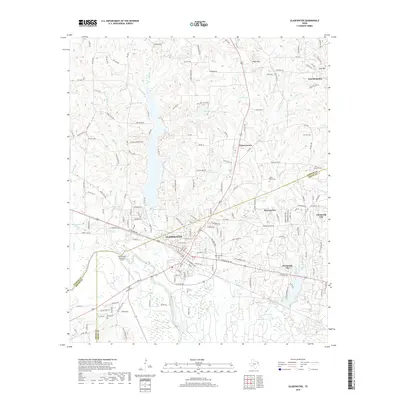
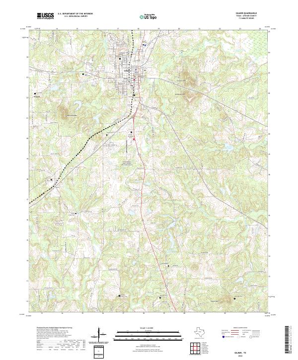 2022 Gilmer2022 Print · USGSUpshur County at the start of the 2020s shows a landscape where civic life in Gilmer meets a dense network of family-named landmarks. Researchers can locate historic burial sites like Old Gilmer Cem or trace the geography of Underwood Mtn and Shelton Lake.
Showing maps 1-25 of 27
Top cities near East Mountain
- Longview historical maps
- Kilgore historical maps
- White Oak historical maps
- Gladewater historical maps
- Gilmer historical maps
- Liberty City historical maps
See more
Top neighborhoods of East Mountain
Frequently asked questions
- What are the different types of historical maps available for East Mountain?
- What is the oldest map of East Mountain?
- Where can I purchase historical maps of East Mountain for my home or office?
- Where can I download high-res historical maps of East Mountain?
- Are there historical topographic maps available for East Mountain?
- Is there historical aerial imagery available for East Mountain?
- Where are historical maps of East Mountain sourced from?