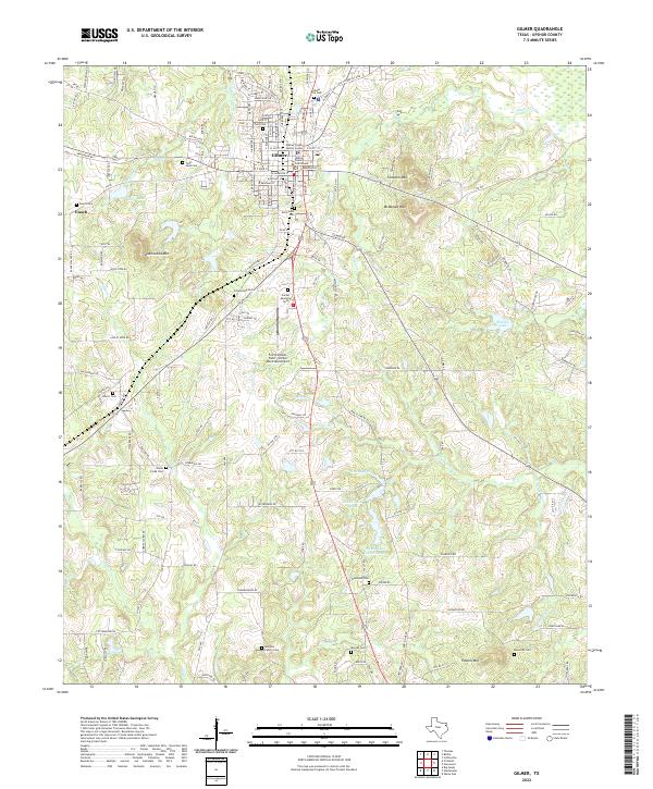
2022 Map of Gilmer
USGS Topo · Published 2022About this map
Gilmer serves as the focal point of this East Texas survey, where the Upshur County Courthouse and Upshur County Justice Center anchor the town's central grid. The surrounding landscape is defined by its numerous family and municipal burial grounds, such as the Old Gilmer Cem, Ford Cem, and the more distant Mitchell Family Cem to the south. These sites provide a localized record of the area's residents and historical land ownership patterns.
Find a feature on this map
151 named features on this map. Tap any name to fly to it.
Don’t see what you’re looking for? This feature index may not catch every label — zoom into the map to look around manually.
Map Details
Editions of this 2022 Gilmer Map
This is the sole edition of this map. No revisions or reprints were ever made.
Other maps of this area

1956 · Tyler
USGS Topo · 1:250,000
1960 · Big Sandy
USGS Topo · 1:24,000
1960 · Pritchett
USGS Topo · 1:24,000
1960 · Bettie
USGS Topo · 1:24,000
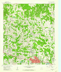
1960 · White Oak
USGS Topo · 1:24,000
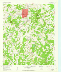
1960 · Gilmer
USGS Topo · 1:24,000
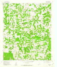
1960 · Thomas
USGS Topo · 1:24,000
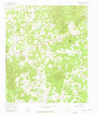
1960 · Coffeeville
USGS Topo · 1:24,000
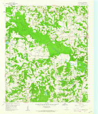
1960 · Glenwood
USGS Topo · 1:24,000
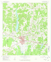
1960 · Gladewater
USGS Topo · 1:24,000