Old Maps of Ore City, Texas for Genealogy
Trace your family roots with 9 historic maps of Ore City. These high-res maps reveal old neighborhoods, homesites, landmarks, and streets — helping you uncover where your ancestors lived and how the area evolved over time.
- Explore historic neighborhoods: Identify where your relatives may have lived in the 1800s or 1900s.
- Compare maps over time: Trace the changes in streets, buildings, and landmarks for multi-generational research.
- Perfect for genealogy & ancestry research: Used by family historians and researchers to map out lineage and migration.
These maps are an incredible resource for exploring your personal connection to Ore City's past.
Ore City, TX maps
(9)- 1956 Map of Tyler
 1956 Tyler1956 Print · USGSEast Texas was a powerhouse of oil production and rail transport during the mid-fifties, centered on the sprawling East Texas Oil Field. Researchers can trace the heritage of industrial hubs like Kilgore, military sites such as the Longhorn Ordnance Works, and many rural landmarks like Mount Enterprise.5 unique versions available
 - 1962 Map of Ore City, 1964 Print
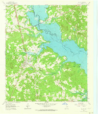 1962 Ore City1964 Print · USGSThe development of East Texas lakefront culture is in full swing during the early sixties as Lake O' the Pines reshapes the landscape near Ore City. Genealogists and historians can trace community roots at Cedar Grove Cem or locate old landmarks like the Mims Chapel Lookout Tower.3 unique versions available
 - 1984 Map of Tyler
 1984 Tyler1984 Print · USGSEast Texas at the peak of its reservoir-building era shows a landscape defined by new lakes and established rail corridors. Trace the path of the St Louis Southwestern RR or locate industrial sites like the Longhorn Ordnance Works.3 unique versions available
 - 1986 Map of Marshall
 1986 Marshall1986 Print · USGSEast Texas and the Louisiana borderlands are shown in the mid-1980s during a period of sustained industrial and energy production. Researchers can trace family roots through settlements like Ebenezer or study the impact of the Longhorn Army Ammunition Plant and Rodessa Oil Field.2 unique versions available
 - 2010 Map of Ore City, 2010 Print
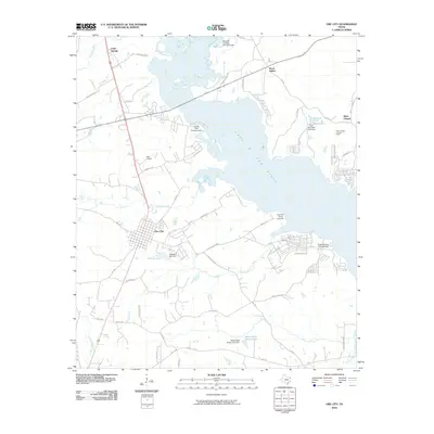 2010 Ore City2010 Print · USGSCovers Ore City, including Mims Chapel, Rock Island, and other nearby areas
 - 2013 Map of Ore City, 2013 Print
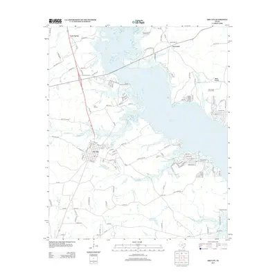 2013 Ore City2013 Print · USGSCovers Ore City, including Mims Chapel, Rock Island, and other nearby areas
 - 2016 Map of Ore City, 2016 Print
 2016 Ore City2016 Print · USGSCovers Ore City, including Mims Chapel, Rock Island, and other nearby areas
 - 2019 Map of Ore City, 2019 Print
 2019 Ore City2019 Print · USGSCovers Ore City, including Mims Chapel, Rock Island, and other nearby areas
 - 2022 Map of Ore City, 2022 Print
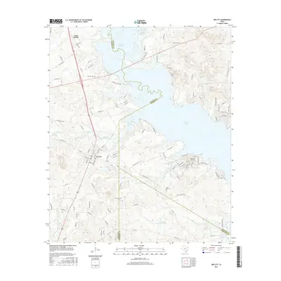
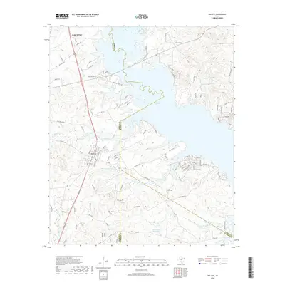
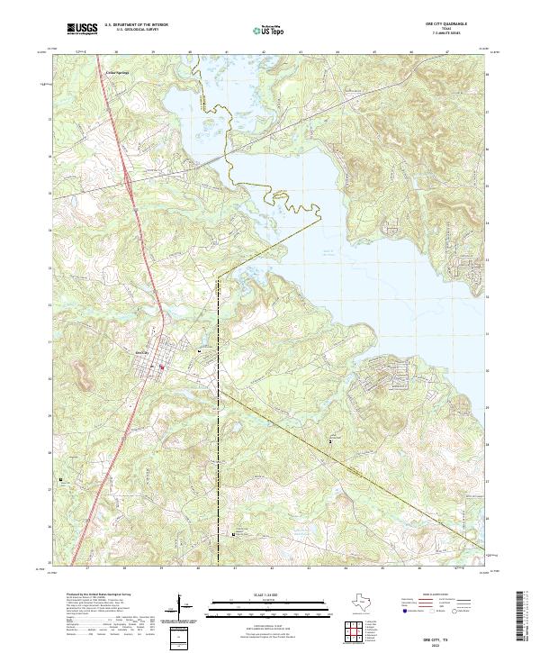 2022 Ore City2022 Print · USGSThe Piney Woods of East Texas come to life in this contemporary survey of the tri-county borderlands. Genealogists can trace family footprints through sites like Ore City Cem, Patto Settlement, and the County Line Baptist Church.
End of results
Showing maps 1-9 of 9
Top cities near Ore City
- Longview historical maps
- Gilmer historical maps
- Pittsburg historical maps
- Daingerfield historical maps
- Hughes Springs historical maps
- Lone Star historical maps
See more
Frequently asked questions
- What are the different types of historical maps available for Ore City?
- What is the oldest map of Ore City?
- Where can I purchase historical maps of Ore City for my home or office?
- Where can I download high-res historical maps of Ore City?
- Are there historical topographic maps available for Ore City?
- Is there historical aerial imagery available for Ore City?
- Where are historical maps of Ore City sourced from?