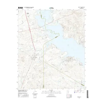
2016 Map of Ore City
USGS Topo · Published 2016About this map
Lake O the Pines dominates the landscape of this East Texas region, where the borders of Upshur, Marion, and Harrison Counties converge. The settlement of Ore City serves as the primary hub, surrounded by a network of rural routes such as Old State Hwy 155 and Old Coffeeville Rd. The topography is defined by the extensive shoreline of the reservoir and the drainages of Meddlin Cr and Sandy Cr. To the south of the main lake, Ferguson Lake and Satterwhite Ranch Lake punctuate the wooded terrain. Local history is anchored by sites like Cedar Springs in the northwest and Cedar Grove Cem, which sits near the junction of several county roads. This survey illustrates the modern distribution of residential developments along the waterfront, including areas near Pleasure Pt and along Mims Chapel Rd.
Find a feature on this map
113 named features on this map. Tap any name to fly to it.
Don’t see what you’re looking for? This feature index may not catch every label — zoom into the map to look around manually.
Map Details
Editions of this 2016 Ore City Map
This is the sole edition of this map. No revisions or reprints were ever made.
Other maps of this area

1956 · Tyler
USGS Topo · 1:250,000
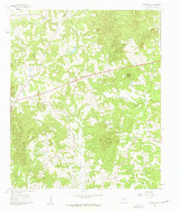
1960 · Coffeeville
USGS Topo · 1:24,000
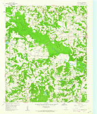
1960 · Glenwood
USGS Topo · 1:24,000
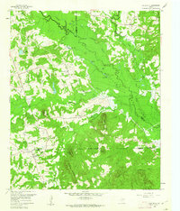
1960 · La Fayette
USGS Topo · 1:24,000
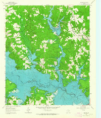
1961 · Lassater
USGS Topo · 1:24,000
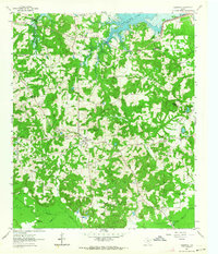
1961 · Harleton
USGS Topo · 1:24,000
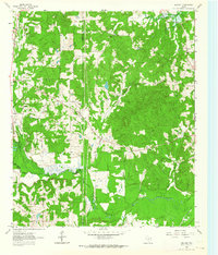
1962 · Ashland
USGS Topo · 1:24,000
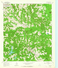
1962 · Avinger
USGS Topo · 1:24,000
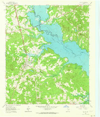
1962 · Ore City
USGS Topo · 1:24,000
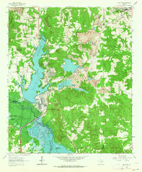
1962 · Lone Star
USGS Topo · 1:24,000