Old Maps of Reagan Wells, Texas for Genealogy
Trace your family roots with 10 historic maps of Reagan Wells. These high-res maps reveal old neighborhoods, homesites, landmarks, and streets — helping you uncover where your ancestors lived and how the area evolved over time.
- Explore historic neighborhoods: Identify where your relatives may have lived in the 1800s or 1900s.
- Compare maps over time: Trace the changes in streets, buildings, and landmarks for multi-generational research.
- Perfect for genealogy & ancestry research: Used by family historians and researchers to map out lineage and migration.
These maps are an incredible resource for exploring your personal connection to Reagan Wells's past.
Reagan Wells, TX maps
(10)- 1954 Map of San Antonio, 1964 Print
 1954 San Antonio1964 Print · USGSSan Antonio and the Texas Hill Country are captured here in the mid-fifties, showing a landscape defined by massive military air bases and the rising Canyon Reservoir. Trace family ties through historic rail towns like D'Hanis and Castroville or explore the Cold War footprint of Lackland AFB and Randolph AFB.3 unique versions available
 - 1957 Map of San Antonio
 1957 San Antonio1957 Print · USGSSan Antonio and the Texas Hill Country are shown here during the mid-fifties, capturing the region's expanding post-war military and transportation footprint. Genealogists and local historians can trace the early residential boundaries of Alamo Heights or locate rural landmarks like St Hedwig and Medina Lake.
 - 1957 Map of York Hollow
 1957 York Hollow1957 Print · USGSThe ranchlands of the Frio River canyons are shown during a period of transition in the mid-1950s. Genealogists and local historians can trace family landmarks and rural education sites like Reagan Wells, Exile School, and the Wheeler Ranch.
 - 1971 Map of Reagan Wells, 1974 Print
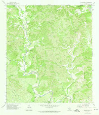 1971 Reagan Wells1974 Print · USGSReagan Wells and the rugged Frio River canyons are captured here in the early 1970s. Local researchers can trace family landmarks like Cummins Heard Cemetery, the Heard Community Center, and remote hill country features like Devils Backbone Mountain.
 - 1985 Map of Bandera
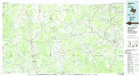 1985 Bandera1985 Print · USGSThe Texas Hill Country in the mid-eighties was a land of winding river valleys and high limestone ridges. You can trace the rural road networks and find local landmarks like Garner State Park, Utopia, and Lost Maples State Park.2 unique versions available
 - 2010 Map of Reagan Wells, 2010 Print
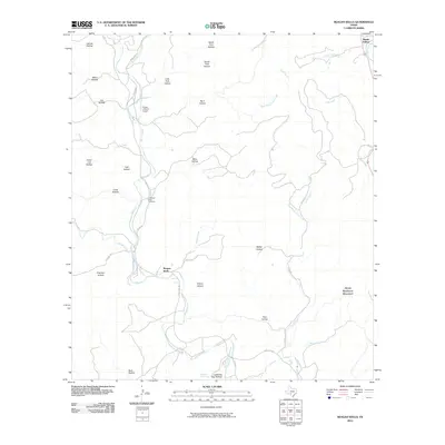 2010 Reagan Wells2010 Print · USGSCovers Reagan Wells, including Happy Hollow, Real County, and other nearby areas
 - 2012 Map of Reagan Wells, 2012 Print
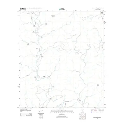 2012 Reagan Wells2012 Print · USGSCovers Reagan Wells, including Happy Hollow, Real County, and other nearby areas
 - 2016 Map of Reagan Wells, 2016 Print
 2016 Reagan Wells2016 Print · USGSCovers Reagan Wells, including Happy Hollow, Real County, and other nearby areas
 - 2019 Map of Reagan Wells, 2019 Print
 2019 Reagan Wells2019 Print · USGSCovers Reagan Wells, including Happy Hollow, Real County, and other nearby areas
 - 2022 Map of Reagan Wells, 2022 Print
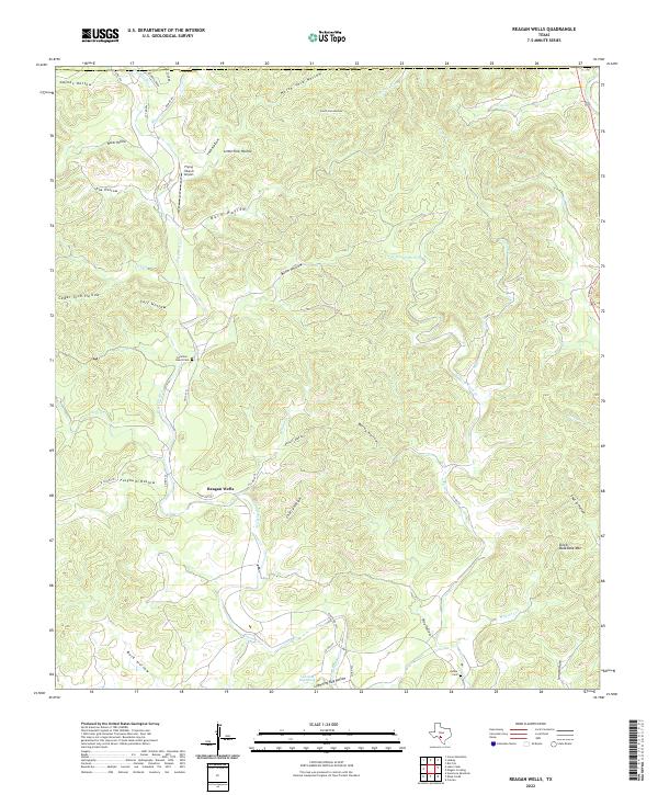 2022 Reagan Wells2022 Print · USGSThe area around the Dry Frio River in Uvalde County comes into focus in this recent survey. Local historians can trace family-named sites like Cummins - Heard Cem, Reagan Wells, and the terrain near Devils Backbone Mtn.
End of results
Showing maps 1-10 of 10
Top cities near Reagan Wells
Frequently asked questions
- What are the different types of historical maps available for Reagan Wells?
- What is the oldest map of Reagan Wells?
- Where can I purchase historical maps of Reagan Wells for my home or office?
- Where can I download high-res historical maps of Reagan Wells?
- Are there historical topographic maps available for Reagan Wells?
- Is there historical aerial imagery available for Reagan Wells?
- Where are historical maps of Reagan Wells sourced from?